Year-round · Little Kyoto streetscape
White walls, heritage buildings and carp canals remain visible throughout the year.
Tourism source ↗Tsuwano’s central heritage street combines white plaster walls, former samurai properties, historic schools and canals filled with colourful carp. Side lanes extend toward merchant storehouses and local museums.
Best time to visit: Jun – Iris and carp-canal scenery
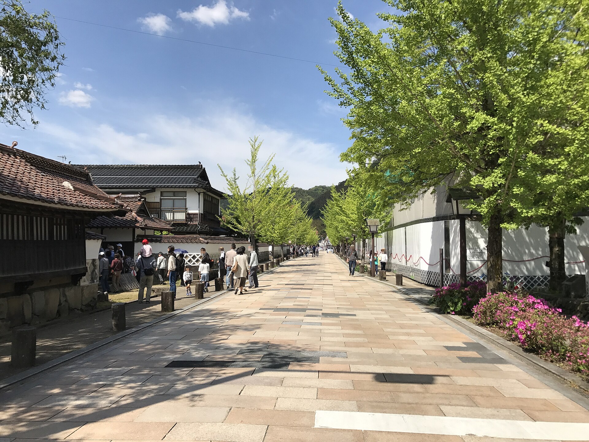
Recorded capture month: Jun · Historical photo, not a live view
AUTUMN · Oct
Weather for your date
Today shows live hourly weather. Future dates show the best available report.
17°C
Light drizzle
💧 83% rain chance · wind 5 km/h
Hourly forecast
Forecast: Open-Meteo
Packing checklist
No tips added for this spot yet.
Parking
Nearby public parking (OpenStreetMap)
NEARBY
· 1 min walk
Vehicle height not verified
Community-mapped nearby parking. Capacity, fees, hours and vehicle limits are not verified; check signs on arrival.
Parking source ↗Leave the start blank to choose your current location in Google Maps. The pin is an approximate landmark; check the entrance and live services in Maps.
A DIFFERENT JAPAN, EVERY MONTH
Typical viewing windows. Weather and bloom dates vary each year; these are not live forecasts.
White walls, heritage buildings and carp canals remain visible throughout the year.
Tourism source ↗Suitability
Stroller: Accessible
Nursing room: Not verified
Noise level: quiet
Kids: The street remains open to vehicles and canals are close to the walkway; supervise children.
Rules
Fire: no fire
Water access: canal
Drones: banned
Within 30 km, closest first.
Place information: Official tourism source · Reviewed 2026-09-27