Year-round · Torii tunnel and town view
The shrine can be visited across the year, with weather affecting the exposed hillside approach.
Tourism source ↗A major Inari shrine above Tsuwano reached by a hillside tunnel of roughly one thousand vermilion torii. The upper precinct looks across the castle town and hosts important spring and autumn ceremonies.
Best time to visit: Nov – Autumn shrine festival and colour
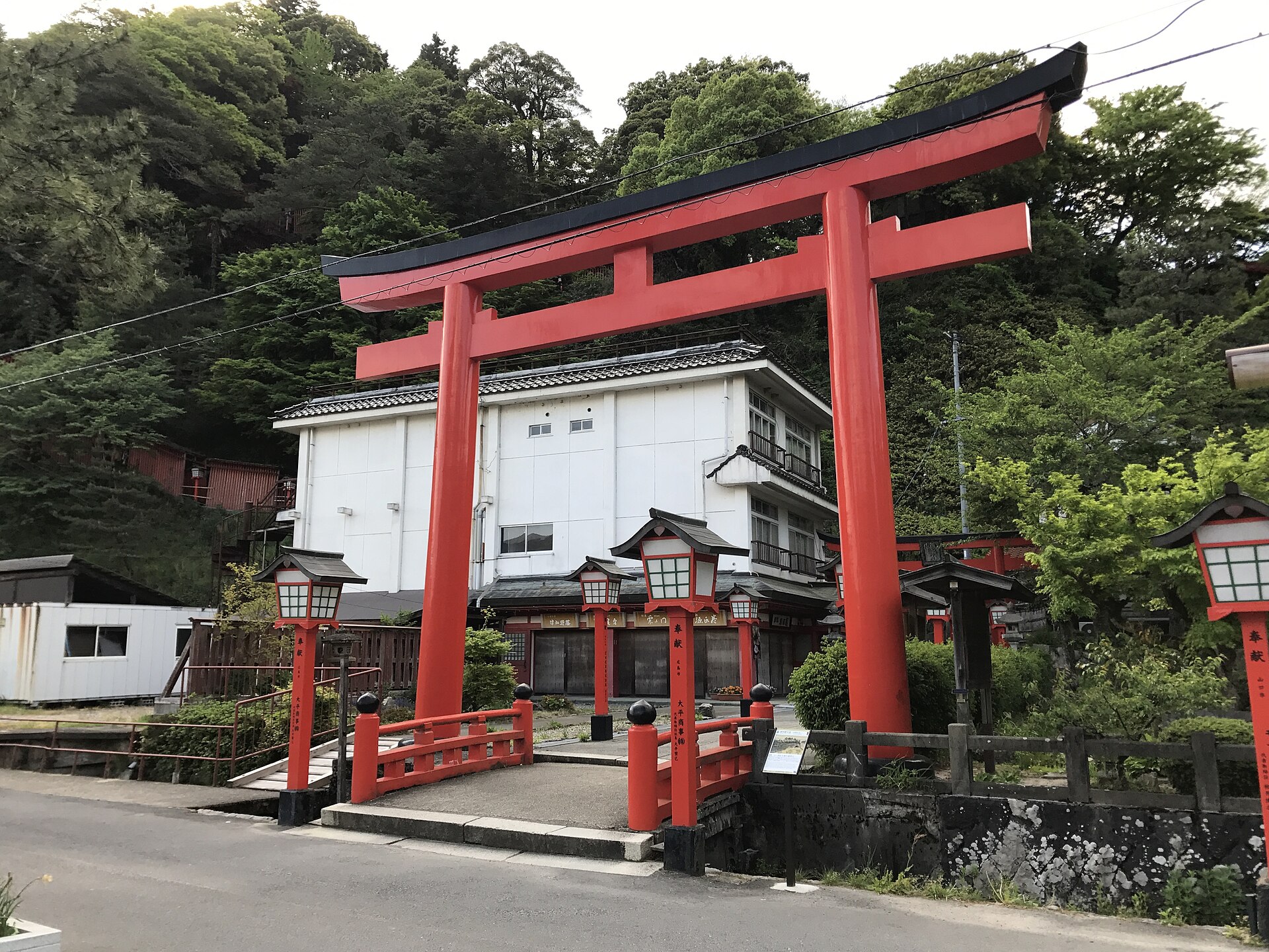
Recorded capture month: Nov · Historical photo, not a live view
AUTUMN · Oct
Weather for your date
Today shows live hourly weather. Future dates show the best available report.
17°C
Light drizzle
💧 83% rain chance · wind 5 km/h
Hourly forecast
Forecast: Open-Meteo
Packing checklist
No tips added for this spot yet.
Parking
殿町駐車場
NEARBY
· 1 min walk
Vehicle height not verified
Community-mapped nearby parking. Capacity, fees, hours and vehicle limits are not verified; check signs on arrival.
Parking source ↗Leave the start blank to choose your current location in Google Maps. The pin is an approximate landmark; check the entrance and live services in Maps.
A DIFFERENT JAPAN, EVERY MONTH
Typical viewing windows. Weather and bloom dates vary each year; these are not live forecasts.
The shrine can be visited across the year, with weather affecting the exposed hillside approach.
Tourism source ↗Suitability
Stroller: Not recommended
Nursing room: Not verified
Noise level: moderate
Kids: The traditional approach has many stairs; use the upper access and assistance information when stairs are unsuitable.
Rules
Fire: no fire
Drones: banned
Within 30 km, closest first.
Place information: Official tourism source · Reviewed 2026-09-27