Fiery Autumn Maple Trails and Clear River Cascades
Peak autumn foliage in November creates postcard scenes; spring cherry blossoms and refreshing summer breezes make it a great hiking retreat.
A nationally designated Place of Scenic Beauty carved through granite mountains by the crystal Abu River. A well-maintained 5.1-kilometer riverside trail follows rushing turquoise rapids, dramatic waterfalls, and hanging cliffs that explode in fiery red and gold Japanese maples every autumn.

📷 As6022014 · CC BY-SA 3.0 · Source
Weather for your date
Today shows live hourly weather. Future dates show the best available report.
12°C
Mainly clear
💧 0% rain chance · wind 5 km/h
Hourly forecast
Forecast: Open-Meteo
Leave the start blank to choose your current location in Google Maps. The pin is an approximate landmark; check the entrance and live services in Maps.
Typical viewing windows. Weather and bloom dates vary each year; these are not live forecasts.
Peak autumn foliage in November creates postcard scenes; spring cherry blossoms and refreshing summer breezes make it a great hiking retreat.
Suitability
Stroller: Not recommended
Nursing room: Not available
Noise level: moderate
Kids: Check terrain, weather and local accessibility before visiting.
Rules
Fire: no fire
Water access: river
Drones: permit required
Within 30 km, closest first.
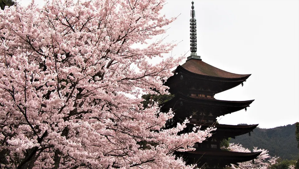 Yamaguchi
Rurikoji Temple Five-story Pagoda is a notable visitor destination in Yamaguchi Prefecture. Check the official local source for current access, hours, closures and seasonal conditions.
 Shimane
Perched dramatically on Mount Shiroyama 200 meters above the historic valley town of Tsuwano, this 14th-century mountain fortress is celebrated as a 'Castle in the Sky'. Vast, weathered stone ramparts and watchtower bases command awe-inspiring aerial vistas over red-roofed townhouses and misty mountain ridges.
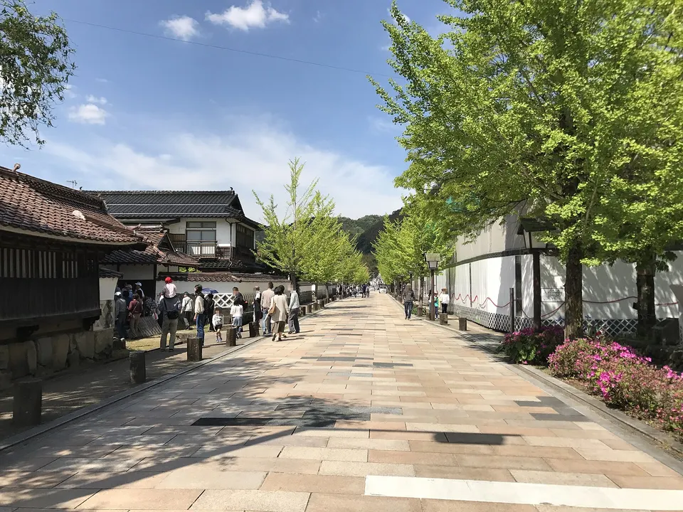 Shimane
Tsuwano’s central heritage street combines white plaster walls, former samurai properties, historic schools and canals filled with colourful carp. Side lanes extend toward merchant storehouses and local museums.
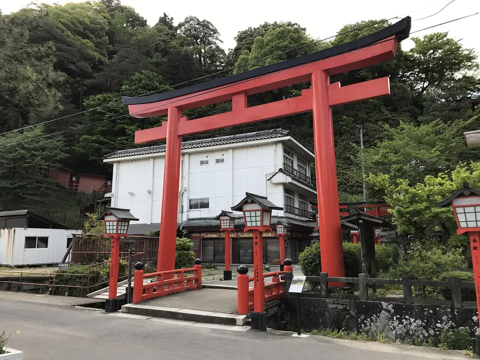 Shimane
A major Inari shrine above Tsuwano reached by a hillside tunnel of roughly one thousand vermilion torii. The upper precinct looks across the castle town and hosts important spring and autumn ceremonies.
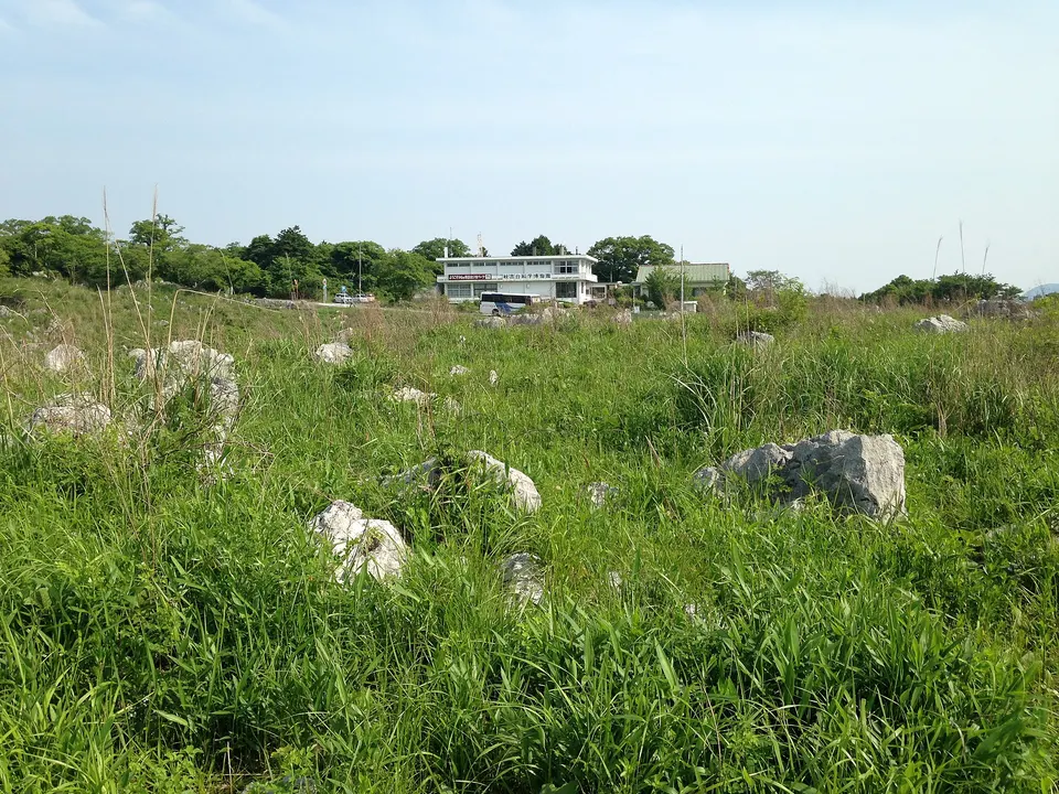 Yamaguchi
Akiyoshidai Plateau is a notable visitor destination in Yamaguchi Prefecture. Check the official local source for current access, hours, closures and seasonal conditions.
 Yamaguchi
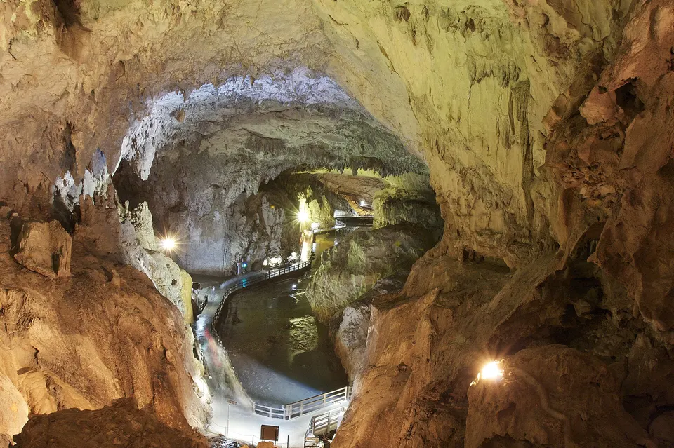
Akiyoshido Cave is a notable visitor destination in Yamaguchi Prefecture. Check the official local source for current access, hours, closures and seasonal conditions.
 Yamaguchi
A spring pond in Mine (not Beppu in Oita) whose limestone-filtered water glows cobalt blue. It is one of Japan’s 100 best waters, and people fill bottles from the spring beside the small shrine.
 Yamaguchi
One of Japan's oldest shrines to Sugawara no Michizane, the god of learning, on a hill in Hofu.
Place information: Official tourism source · Reviewed 2026-10-15