Shizuoka

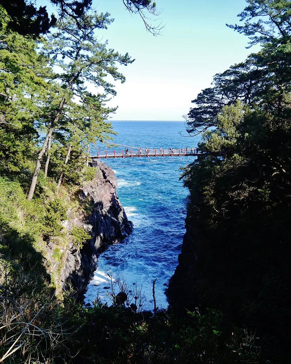
Jogasaki Coast — Kadowaki Bridge

Nature walks & hiking

Lava cliffs and coastal walking paths on eastern Izu, with the Kadowaki suspension bridge as a recognizable landmark. Routes include rough terrain and exposed sections; choose a walk suited to your group.

Best time
Jun–Jul – Hydrangeas and deep coastal green · Oct–Mar – Clear volcanic-coast walking
Parking
城ヶ崎門脇駐車場2 min walk
ℹ Paid · Fee not confirmed (check signs on arrival)
📍 Navigate in Google Maps ↗
Nearby parking8 min walk
ℹ Paid · Fee not confirmed (check signs on arrival)
📍 Navigate in Google Maps ↗
🚗 All Nearby Parking & Real-Time Availability

Before travel or when you arrive, check live space availability and confirmed rates via Google Maps.

🔍 Find Nearby Parking on Map ↗
📢Share with Friends & Fellow Travelers

Send this place via WhatsApp, X, Facebook, Line, or copy direct link.

Ito Jogasaki-Küste Kadowaki-tsuki 1.jpg
💡 Reference photograph; it does not show every month. Read the monthly guide for seasonal conditions.

📷 Zairon · CC BY-SA 4.0 · Source

Weather for your date

Today shows live hourly weather. Future dates show the best available report.

☀️

10°C

Clear sky

💧 0% rain chance · wind 18 km/h

Hourly forecast

☀️10°💧 0%
☀️11°💧 0%
☀️12°💧 0%
☀️13°💧 0%
☀️12°💧 0%
🌙11°💧 0%
🌙10°💧 0%
🌙10°💧 0%

Forecast: Open-Meteo

Packing checklist

  • Also useful: Rain layer and non-slip walking shoes, Drinking water and sun protection, Warm outer layer
PUBLIC TRANSIT & FARE ESTIMATE

Getting to Jogasaki Coast — Kadowaki Bridge

🚆Live Transit Directions ↗
Nearest Station

🚉Jogasakikaigan Station

Approx. 1.4 km from spot

Travel Mode & Pace

🚶~18 min walk

Easy walking distance from station

Fares & Pass Coverage

💳Mobile Suica / IC Cards

Tap phone at ticket gates (No cash needed)

💡 Need help with Apple Wallet Suica, Subway Passes, or Bullet Train booking?Open Japan Transit Guide →

Directions to Jogasaki Coast — Kadowaki Bridge

Google Maps directions ↗

Leave the start blank to choose your current location in Google Maps. The pin is an approximate landmark; check the entrance and live services in Maps.

When to see this place

Typical viewing windows. Weather and bloom dates vary each year; these are not live forecasts.

SEASONAL☀️ Daytime

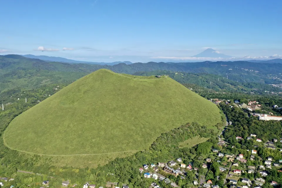
November — lava cliffs and Kadowaki coastal viewpoint

Plan around the lava cliffs and Kadowaki coastal viewpoint. No special flower or autumn-leaf display is confirmed for this month in this guide. Take a layer for cooler mornings and evenings. Seasonal timing and access can change; this is planning guidance, not a live forecast.
COAST☀️ Daytime

October–March · Clear volcanic-coast walking

Cooler months often provide clearer air and comfortable hiking, but coastal wind and high waves still affect exposed sections.

Suitability

Stroller: Not verified

Nursing room: Not verified

Noise level: moderate

Kids: Supervise children on slopes, beside water and near exposed edges; accessible routes are not verified.

Rules

Nearby places

Within 30 km, closest first.

Shizuoka

Mount Omuro

A 580-metre extinct volcano above Ito and Izu Kogen. A chairlift reaches the rim, where an easy loop circles the bowl-shaped crater with views toward Mount Fuji, Izu Oshima and the Pacific. Walking up the protected grass slope is not permitted.

4 km away
Shizuoka

Izu Shaboten Zoo

An animal and cactus park in Ito on the Izu Peninsula. Check the operator for animal activities and visitor rules.

4 km away
Shizuoka

Bousui — Izu Onsen Stay

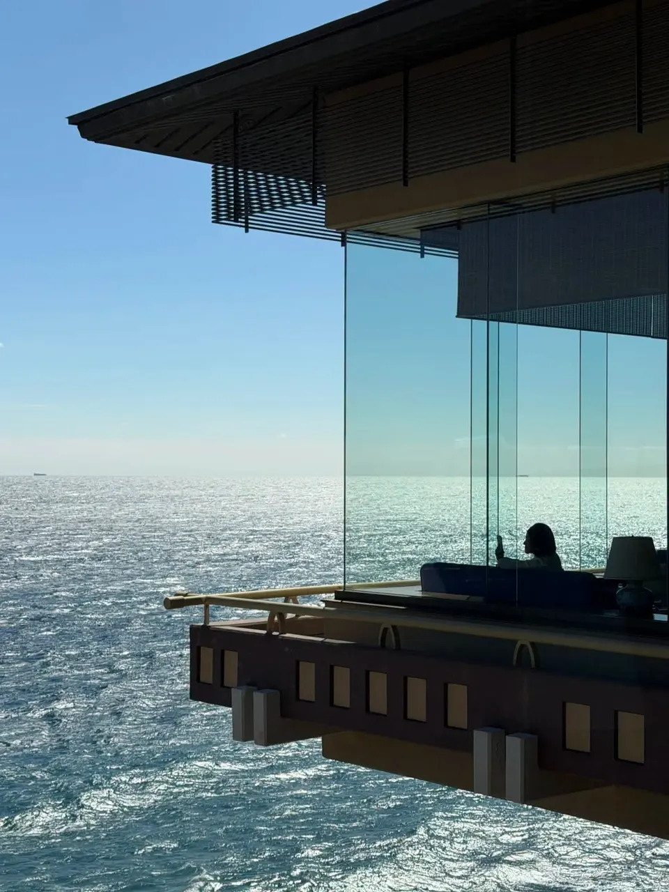
A seaside ryokan at Hokkawa Onsen on Izu’s east coast, known for expansive Pacific views, hot-spring bathing and a quiet overnight stay above the water. It works as an accommodation base rather than a brief sightseeing stop.

9 km away
Shizuoka

Old Amagi Tunnel

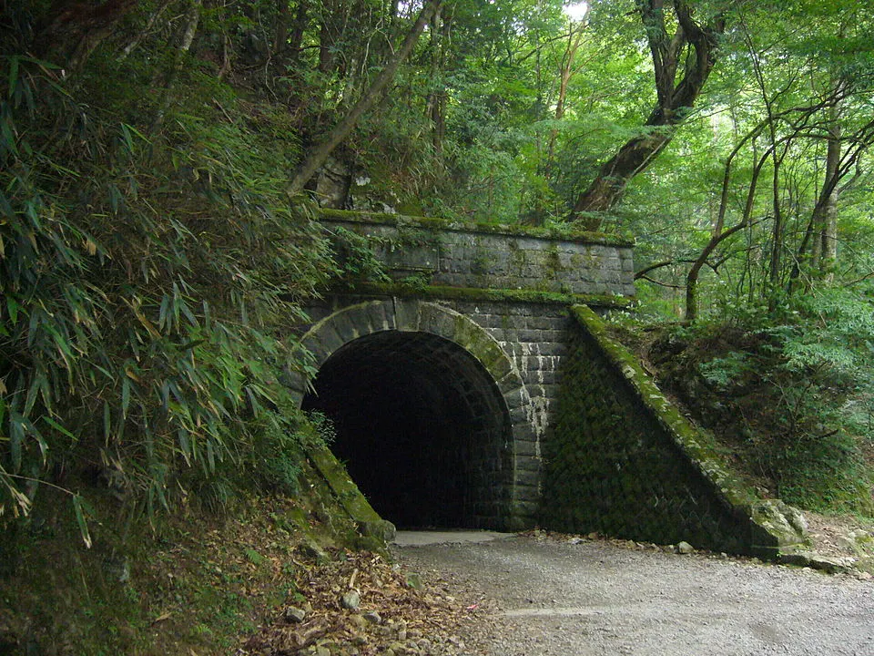
Izu City / Kawazu boundary, Amagi Pass. A historic stone road tunnel associated with the old Amagi route and The Izu Dancer. Mountain approaches require checking road and trail conditions before travel.

20 km away
Shizuoka

Joren Falls

Izu City (伊豆市), Amagi. A waterfall dropping from a basalt cliff into a wooded gorge. The approach includes steps; nearby wasabi cultivation reflects the clear mountain water.

20 km away
Shizuoka

Kawazu River Cherry Blossoms

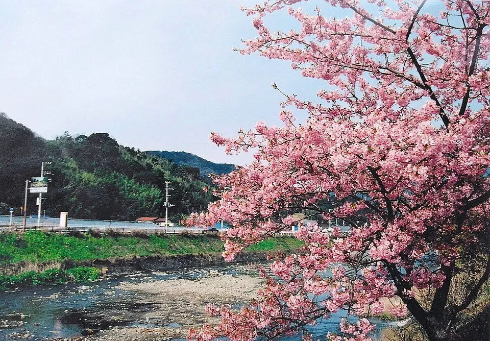
Walk beside the Kawazu River in eastern Izu, best known for its early-flowering pink Kawazu-zakura. Outside the blossom period this is a riverside town walk, not a year-round cherry blossom display.

20 km away
Shizuoka

Shuzenji Temple and Onsen Town

Explore Shuzenji Temple and the surrounding hot-spring town in central Izu. Combine the temple precinct with the riverside district; nearby bamboo remains green while deciduous trees bring autumn color.

21 km away
Shizuoka

Kawazu Seven Waterfalls

Kawazu Town, Izu Peninsula — outside Izu City. A walking route linking seven waterfalls, including Shokeidaru. Routes differ in length and difficulty; check which sections are currently accessible before attempting the full circuit.

21 km away
Sources, photo credits and verification

Place information: Official tourism source · Reviewed 2026-09-16