FUJI_VIEW☀️ Daytime
October–February · Clear Fuji-view season
Cooler, drier air generally gives the strongest chance of seeing Mount Fuji and the Izu Islands.
A 580-metre extinct volcano above Ito and Izu Kogen. A chairlift reaches the rim, where an easy loop circles the bowl-shaped crater with views toward Mount Fuji, Izu Oshima and the Pacific. Walking up the protected grass slope is not permitted.
Before travel or when you arrive, check live space availability and confirmed rates via Google Maps.
Send this place via WhatsApp, X, Facebook, Line, or copy direct link.
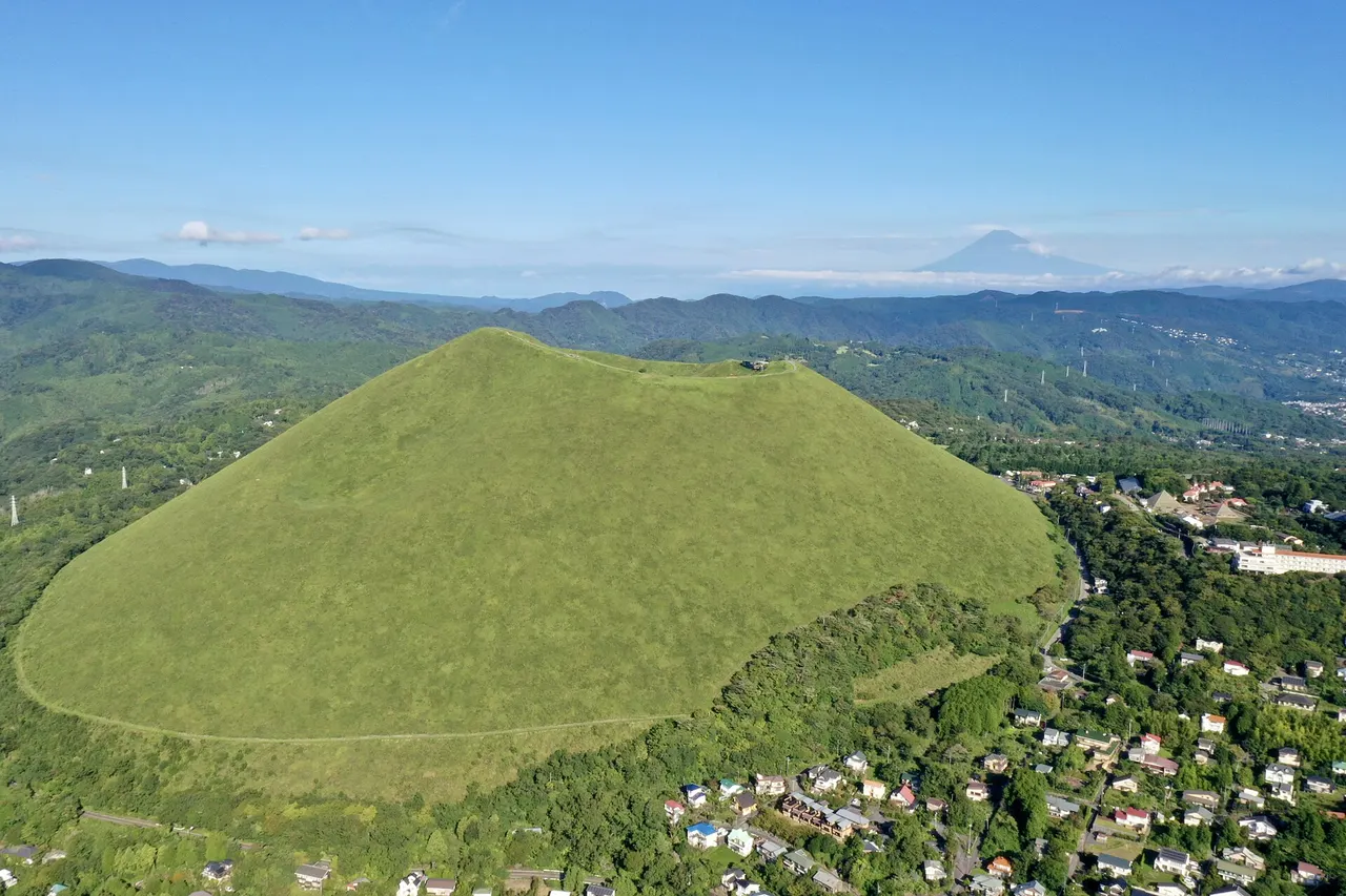
Apr · 📷 Charlie fong · CC BY-SA 4.0 · Source
Weather for your date
Today shows live hourly weather. Future dates show the best available report.
4°C
Clear sky
💧 0% rain chance · wind 16 km/h
Hourly forecast
Forecast: Open-Meteo
Packing checklist
🚉Jogasakikaigan Station
Approx. 2.9 km from spot
🚌Local Bus or Taxi
Bus ~15-25 min (¥210-¥350) / Taxi ~¥1,500-¥3,000
💳Mobile Suica / IC Cards
IC cards accepted on most local buses
Leave the start blank to choose your current location in Google Maps. The pin is an approximate landmark; check the entrance and live services in Maps.
Typical viewing windows. Weather and bloom dates vary each year; these are not live forecasts.
Cooler, drier air generally gives the strongest chance of seeing Mount Fuji and the Izu Islands.
Suitability
Stroller: Not recommended
Nursing room: Not verified
Noise level: moderate
Kids: Open chairlift seats, strong summit wind and the exposed crater rim require close supervision.
Rules
Fire: no fire
Drones: banned
Within 30 km, closest first.
 Shizuoka
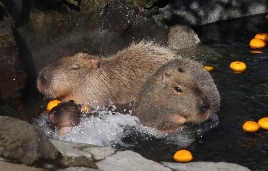
An animal and cactus park in Ito on the Izu Peninsula. Check the operator for animal activities and visitor rules.
 Shizuoka
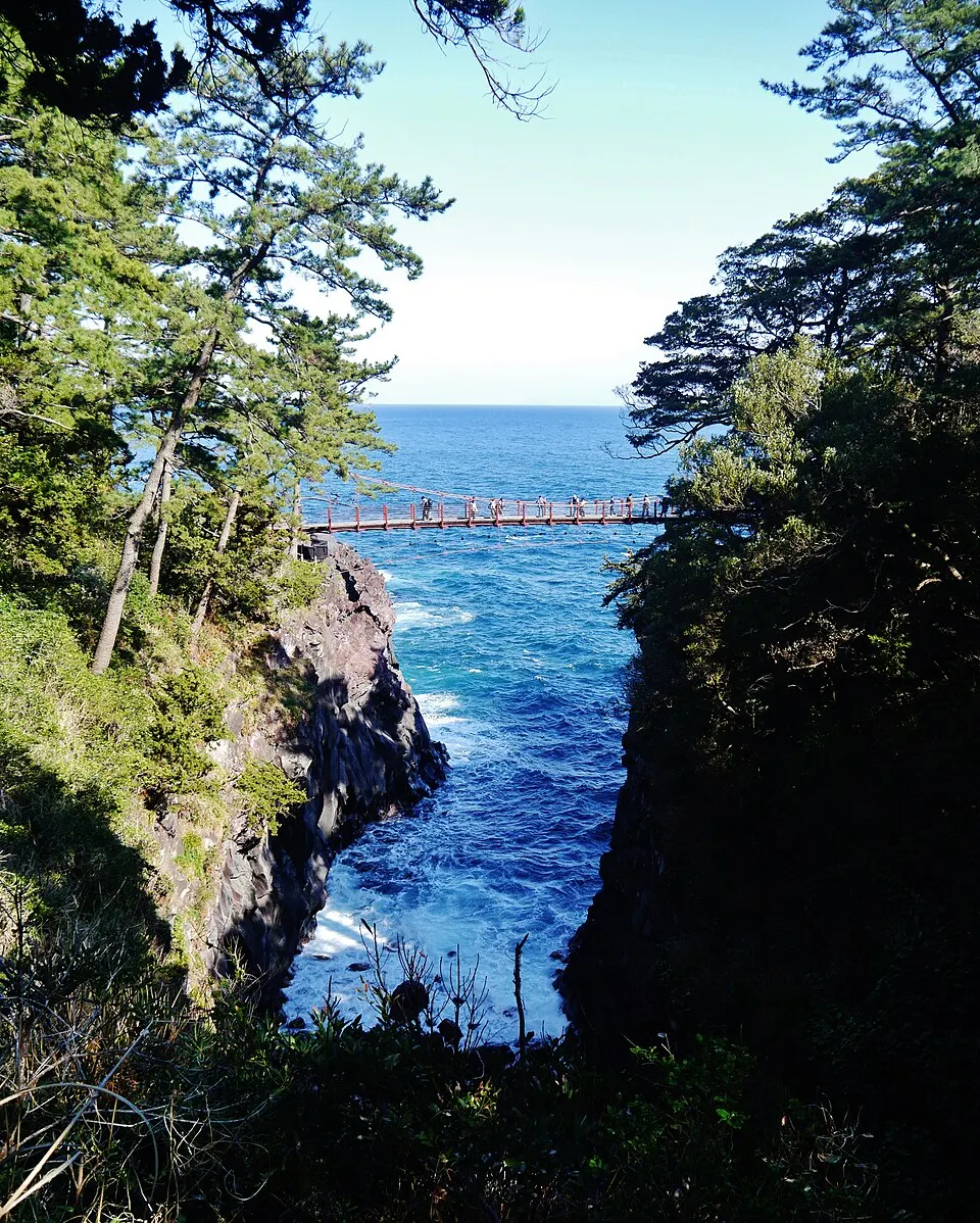
Lava cliffs and coastal walking paths on eastern Izu, with the Kadowaki suspension bridge as a recognizable landmark. Routes include rough terrain and exposed sections; choose a walk suited to your group.
 Shizuoka
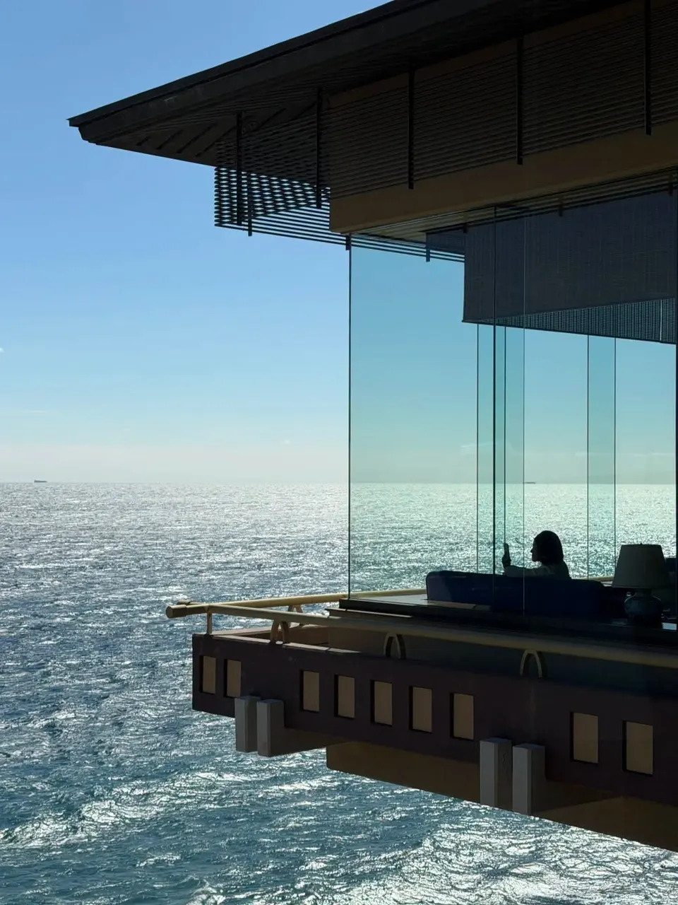
A seaside ryokan at Hokkawa Onsen on Izu’s east coast, known for expansive Pacific views, hot-spring bathing and a quiet overnight stay above the water. It works as an accommodation base rather than a brief sightseeing stop.
 Shizuoka
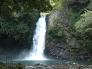
Izu City (伊豆市), Amagi. A waterfall dropping from a basalt cliff into a wooded gorge. The approach includes steps; nearby wasabi cultivation reflects the clear mountain water.
 Shizuoka
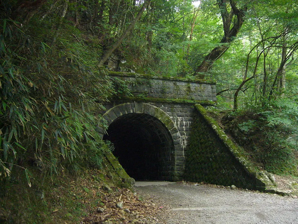
Izu City / Kawazu boundary, Amagi Pass. A historic stone road tunnel associated with the old Amagi route and The Izu Dancer. Mountain approaches require checking road and trail conditions before travel.
 Shizuoka
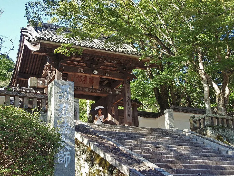
Explore Shuzenji Temple and the surrounding hot-spring town in central Izu. Combine the temple precinct with the riverside district; nearby bamboo remains green while deciduous trees bring autumn color.
 Shizuoka
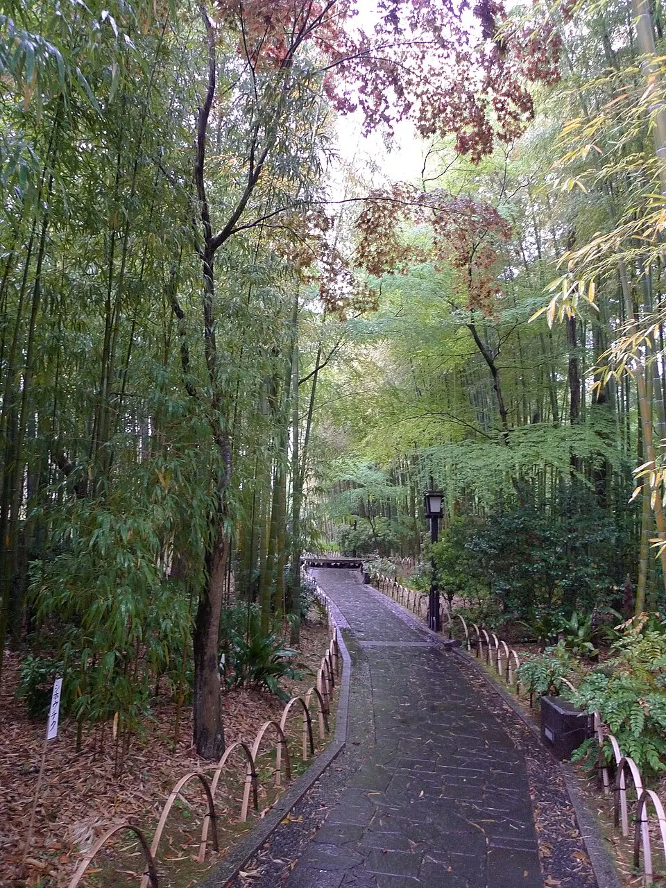
Izu City (伊豆市), Shuzenji. A short bamboo-lined path beside the Katsura River in the hot-spring town. Look for the circular bamboo bench and connect the walk with the nearby bridges and temple district.
 Shizuoka
A toll road along the Izu Peninsula ridges with pull-offs looking toward Mount Fuji, Suruga Bay and the Pacific coast.
Place information: Official tourism source · Reviewed 2026-09-26