MOUNTAIN_ROAD☀️ Daytime
Seasonal access and best-view period
Road openings, winter closures and visibility depend on current weather. Check the official road notice before departure.
A high volcanic crater lake reached in the open-road season via the Zao Echo Line, with parking and a short walk near the summit area.
Before travel or when you arrive, check live space availability and confirmed rates via Google Maps.
Send this place via WhatsApp, X, Facebook, Line, or copy direct link.

📷 No machine-readable author provided. Geomr~commonswiki assumed (based on copyright claims). · CC BY-SA 3.0 · Source
Weather for your date
Today shows live hourly weather. Future dates show the best available report.
-6°C
Heavy snow
💧 80% rain chance · wind 10 km/h
Hourly forecast
Forecast: Open-Meteo
🚉Mokichi-Kinenkan-mae Station
Approx. 13.8 km from spot
🚗Car Rental / Rural Bus
Drive ~30+ min from station
💳Mobile Suica / IC Cards
IC cards accepted on most local buses
This spot is located ~13.8 km from the nearest train station. Rural bus departures may run only 1–3 times per day. Always check return bus timetables in advance, or consider renting a car.
Leave the start blank to choose your current location in Google Maps. The pin is an approximate landmark; check the entrance and live services in Maps.
Typical viewing windows. Weather and bloom dates vary each year; these are not live forecasts.
Road openings, winter closures and visibility depend on current weather. Check the official road notice before departure.
Suitability
Stroller: Not recommended
Nursing room: Not available
Noise level: moderate
Kids: Terrain, steps, seasonal roads, weather and opening rules vary; check the official source before travel.
Rules
Fire: no fire
Drones: banned
Within 30 km, closest first.
 Miyagi
A three-tiered 181-metre waterfall on the Zao Echo Line, seen from a roadside viewing platform, beautiful in autumn.
 Miyagi
A mountain road crossing the Zao range between Miyagi and Yamagata, leading to the Okama crater and known for snow walls in spring and autumn colours; closed in winter.
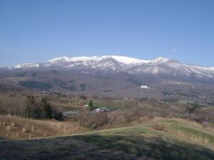 Miyagi
A pastoral roadside landscape in Zao Town where open grassland frames the Zao mountain range. It is one of the prefecture’s selected “36 Views of the Sennan Area,” with no visitor parking or toilets.
 Miyagi
A fox sanctuary near Shiroishi where around a hundred foxes roam a wooded enclosure; feeding is allowed only from a set platform.
 Yamagata
A rebuilt castle tower housing a local history museum above the hot-spring town of Kaminoyama.
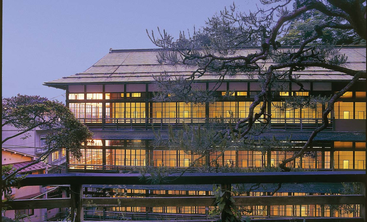 Miyagi
A historic ryokan in Kamasaki Onsen, Shiroishi, centred on a wooden Meiji-era annex used for dining. The stay combines hot-spring baths, seasonal cuisine and preserved architecture; advance accommodation or meal booking is required.
 Yamagata
The castle grounds in central Yamagata, now Kajo Park, with a rebuilt gate and around 1,500 cherry trees around the moat.
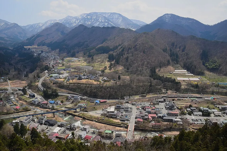 Yamagata
A hillside temple reached by a long stone stairway, with valley views from the upper complex. The ascent has about 1,000 steps. Check trail conditions; do not assume the upper route is suitable for strollers.
Place information: Official tourism source · Reviewed 2026-10-04