A rebuilt castle tower housing a local history museum above the hot-spring town of Kaminoyama.
- Best time
- Not added yet
- Parking
- 📍 Navigate in Google Maps ↗Nearby parking1 min walk✓ Free parking📍 Navigate in Google Maps ↗上山城第一広場2 min walkℹ Paid · Fee not confirmed (check signs on arrival)🚗 All Nearby Parking & Real-Time Availability🔍 Find Nearby Parking on Map ↗
Before travel or when you arrive, check live space availability and confirmed rates via Google Maps.
- Getting there
- Plan the route from your start ↓ · Open in Google Maps ↗
- Official info
- kaminoyama-castle.info ↗
Send this place via WhatsApp, X, Facebook, Line, or copy direct link.

📷 掬茶 · CC BY-SA 4.0 · Source
Weather for your date
Today shows live hourly weather. Future dates show the best available report.
3°C
Light drizzle
💧 82% rain chance · wind 8 km/h
Hourly forecast
Forecast: Open-Meteo
Getting to Kaminoyama Castle
🚉Kaminoyama-Onsen Station
Approx. 0.6 km from spot
🚶~8 min walk
Easy walking distance from station
💳Mobile Suica / IC Cards
Tap phone at ticket gates (No cash needed)
Directions to Kaminoyama Castle
Leave the start blank to choose your current location in Google Maps. The pin is an approximate landmark; check the entrance and live services in Maps.
When to see this place
Typical viewing windows. Weather and bloom dates vary each year; these are not live forecasts.
No month-specific guide yet for Nov. This does not mean the place is closed.
Suitability
Stroller: Not verified
Nursing room: Not available
Noise level: moderate
Rules
Drones: banned
Nearby places
Within 30 km, closest first.
 Yamagata
 Castle (Kajo Park)
The castle grounds in central Yamagata, now Kajo Park, with a rebuilt gate and around 1,500 cherry trees around the moat.
 Yamagata
Kumano Taisha Shrine, Nanyo
A historic shrine in Nan'yo known as the 'Ise of Tohoku', with a hidden rabbit carving that visitors try to find.
 Miyagi
Zao Okama Crater
A high volcanic crater lake reached in the open-road season via the Zao Echo Line, with parking and a short walk near the summit area.
 Miyagi
Sankai Falls
A three-tiered 181-metre waterfall on the Zao Echo Line, seen from a roadside viewing platform, beautiful in autumn.
 Yamagata
Yamadera — Risshakuji Temple
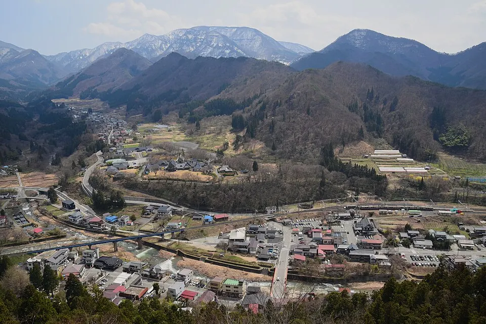
A hillside temple reached by a long stone stairway, with valley views from the upper complex. The ascent has about 1,000 steps. Check trail conditions; do not assume the upper route is suitable for strollers.
 Miyagi
Zao Echo Line
A mountain road crossing the Zao range between Miyagi and Yamagata, leading to the Okama crater and known for snow walls in spring and autumn colours; closed in winter.
 Miyagi
 Zao Fox Village
A fox sanctuary near Shiroishi where around a hundred foxes roam a wooded enclosure; feeding is allowed only from a set platform.
 Miyagi
 Zao Kitaharao Viewpoint
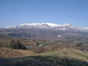
A pastoral roadside landscape in Zao Town where open grassland frames the Zao mountain range. It is one of the prefecture’s selected “36 Views of the Sennan Area,” with no visitor parking or toilets.
Sources, photo credits and verification
Place information: Official tourism source · Reviewed 2026-10-06
- 1. 上山城模擬天守。内部は市立の歴史資料館となっている。 · 掬茶 · Source ↗ · CC BY-SA 4.0
- 2. 上山城址公園の一角にあるブドウ棚。上山市は山形県有数のワインの産地である。 · 掬茶 · Source ↗ · CC BY-SA 4.0
- 3. 上山城址公園の一角にあるブドウ棚。上山市は山形県有数のワインの産地である。 · 掬茶 · Source ↗ · CC BY-SA 4.0