Late October–mid-November · Ryujin Falls autumn colour
Visit Gifu lists late October to mid-November as the usual strongest foliage period around Yumori Valley.
Tourism source ↗A forest park in Nakatsugawa built around Yumori Valley and five waterfalls, including the blue-green Ryujin Falls. Summer brings camping and water activities; autumn colour usually peaks from late October into mid-November. Check current trail restrictions before visiting.
Best time to visit: Oct–Nov – Ryujin Falls autumn colour · Jun–Sep – Green valley and waterfalls
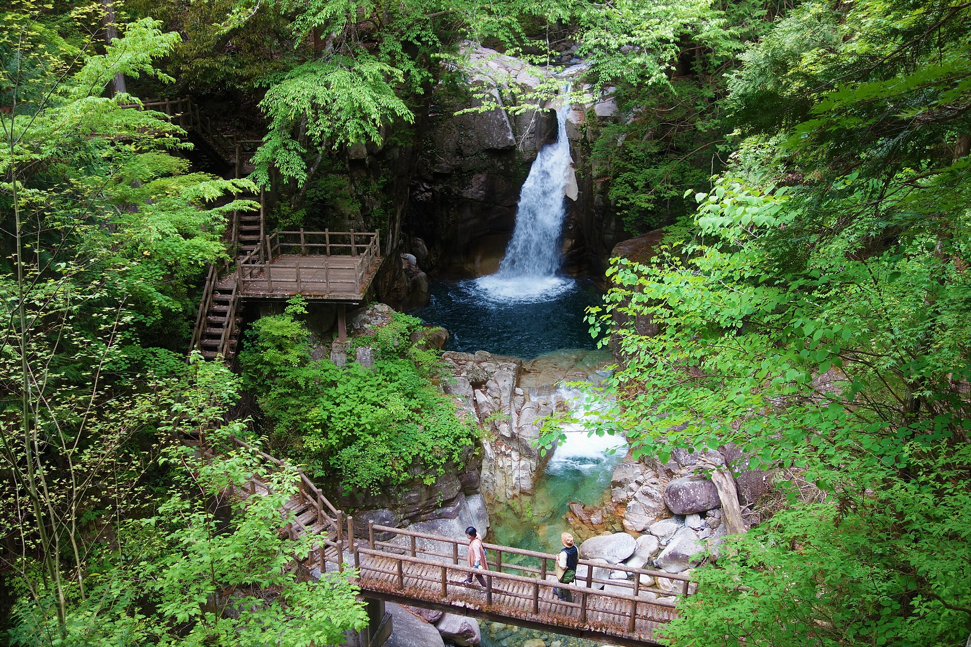
Recorded capture month: Jul · Historical photo, not a live view
AUTUMN · Oct
Weather for your date
Today shows live hourly weather. Future dates show the best available report.
15°C
Overcast
💧 10% rain chance · wind 3 km/h
Hourly forecast
Forecast: Open-Meteo
Packing checklist
Parking
Parking has not been verified for this place.
Search nearby parking ↗Leave the start blank to choose your current location in Google Maps. The pin is an approximate landmark; check the entrance and live services in Maps.
A DIFFERENT JAPAN, EVERY MONTH
Typical viewing windows. Weather and bloom dates vary each year; these are not live forecasts.
Visit Gifu lists late October to mid-November as the usual strongest foliage period around Yumori Valley.
Tourism source ↗Suitability
Stroller: Not recommended
Nursing room: Not verified
Noise level: quiet
Kids: Wet paths, river edges and damaged trail sections require close supervision.
Rules
Fire: operator rules
Water access: river
Drones: permit required
Within 30 km, closest first.
Place information: Official tourism source · Reviewed 2026-09-26