A Pure Land Buddhist temple in Takachiho town, set at the base of the hills near the famous gorge.
- Best time
- Not added yet
- Parking
- No data yet · Find parking nearby ↗
- Getting there
- Plan the route from your start ↓ · Open in Google Maps ↗
- Official info
- shonenji.org ↗
Send this place via WhatsApp, X, Facebook, Line, or copy direct link.

📷 Victoria Yoshimura · CC BY-SA 3.0 · Source
Weather for your date
Today shows live hourly weather. Future dates show the best available report.
7°C
Mainly clear
💧 0% rain chance · wind 8 km/h
Hourly forecast
Forecast: Open-Meteo
Getting to Shonenji Temple, Takachiho
🚉Takachiho Station
Approx. 5.7 km from spot
🚌Local Bus or Taxi
Bus ~15-25 min (¥210-¥350) / Taxi ~¥1,500-¥3,000
💳Mobile Suica / IC Cards
IC cards accepted on most local buses
Directions to Shonenji Temple, Takachiho
Leave the start blank to choose your current location in Google Maps. The pin is an approximate landmark; check the entrance and live services in Maps.
When to see this place
Typical viewing windows. Weather and bloom dates vary each year; these are not live forecasts.
No month-specific guide yet for Nov. This does not mean the place is closed.
Suitability
Stroller: Not verified
Nursing room: Not available
Noise level: quiet
Rules
Drones: banned
Nearby places
Within 30 km, closest first.
 Miyazaki
Takachiho Amaterasu Grand Railway Super Cart
An exhilarating open-air roofless railway cart operating on the preserved historic Takachiho railway tracks. Climbs out of the station and glides out onto the vertiginous 105-meter-high Takachiho Iron Bridge, suspended directly above the deep forested river canyon with driver soap-bubble performances.
 Miyazaki
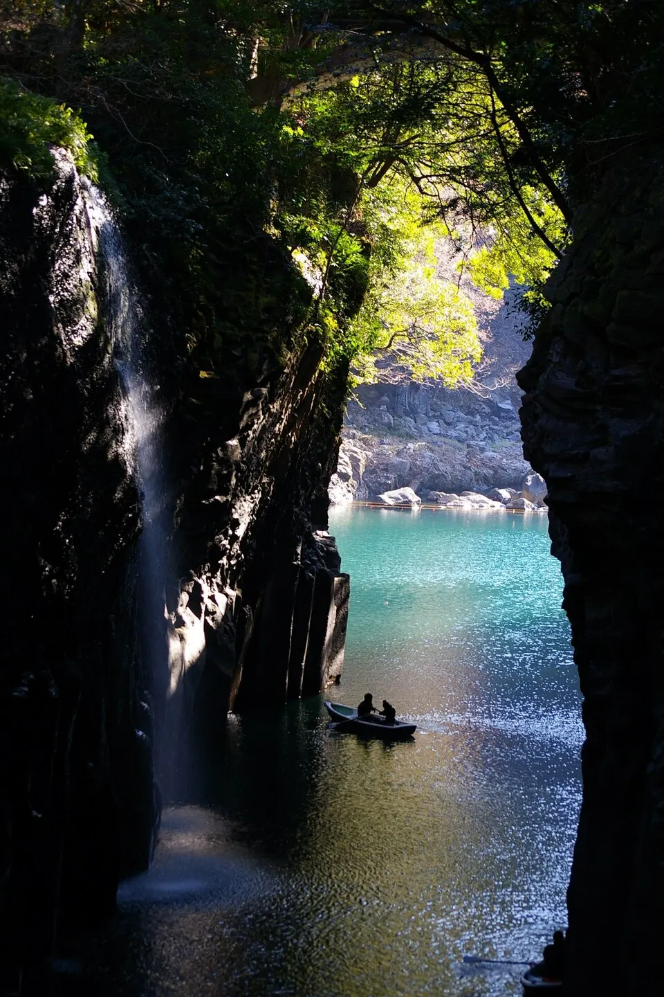
Takachiho Gorge
A volcanic gorge with columnar rock walls and Manai Falls, viewed from paths or a permitted rental boat. Boat operation depends on river conditions and bookings. Check closures before travelling; paths may be slippery.
 Miyazaki
Mount Sobo
A 1,756-metre peak on the Miyazaki–Oita border and one of Japan's 100 Famous Mountains, reached by forest trails from Takachiho.
 Kumamoto
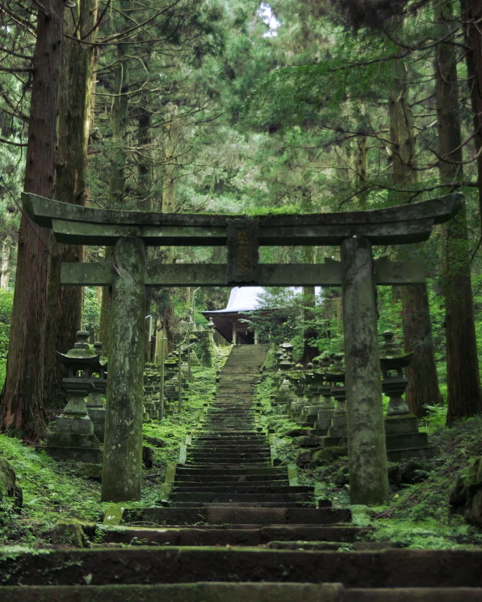
Kamishikimi Kumanoimasu Shrine
A forest shrine in Takamori whose steep stone approach passes rows of moss-covered lanterns beneath tall cedar trees. Beyond the worship hall a path climbs to Ugeto-iwa, a large wind-eroded opening in the rock associated with local legend.
 Kumamoto
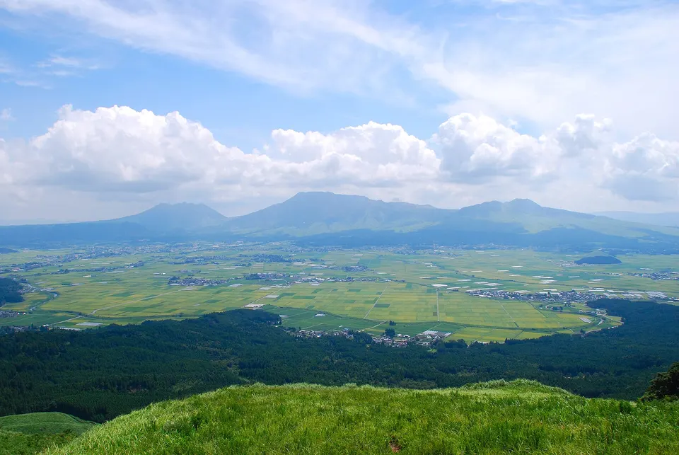
Mount Aso and Aso Caldera
Mount Aso and Aso Caldera is a notable visitor destination in Kumamoto Prefecture. Check the official local source for current access, hours, closures and seasonal conditions.
 Kumamoto
Kusasenrigahama
A vast double-crater grassland plateau facing the active smoking peak of Mount Aso, complete with horses and crater ponds.
 Kumamoto
Aso Shrine
One of Japan's oldest shrines, in the Aso caldera; its gate and halls are being restored after the 2016 earthquake.
 Oita
Harajiri Falls
A broad waterfall about 20 m high and 120 m wide in Bungo-Ono, sometimes called the “Niagara of the East”. It falls over rock left by an ancient Aso eruption. A suspension bridge and a path lead to the basin, and tulips bloom in the fields above in April.
Sources, photo credits and verification
Place information: Official tourism source · Reviewed 2026-10-06
- 1. The hon-do (main hall) at Shonen-ji Temple in Takachiho-cho, Miyazaki-ken. · Victoria Yoshimura · Source ↗ · CC BY-SA 3.0
- 2. The main entrance to Shonen-ji, looking north. · Victoria Yoshimura · Source ↗ · CC BY-SA 3.0
- 3. Detail of new roof installed May 2008 · Victoria Yoshimura · Source ↗ · CC BY-SA 3.0