One of Japan's oldest shrines, in the Aso caldera; its gate and halls are being restored after the 2016 earthquake.

Capture month unconfirmed · Historical photo, not a live view
AUTUMN · Oct
Weather for your date
Today shows live hourly weather. Future dates show the best available report.
14°C
Clear sky
💧 0% rain chance · wind 4 km/h
Hourly forecast
Forecast: Open-Meteo
Packing checklist
No tips added for this spot yet.
Parking
Parking has not been verified for this place.
Search nearby parking ↗Directions to Aso Shrine
Leave the start blank to choose your current location in Google Maps. The pin is an approximate landmark; check the entrance and live services in Maps.
A DIFFERENT JAPAN, EVERY MONTH
When to see this place
Typical viewing windows. Weather and bloom dates vary each year; these are not live forecasts.
No month-specific guide yet for Oct. This does not mean the place is closed.
Suitability
Stroller: Not verified
Nursing room: Not available
Noise level: quiet
Rules
Drones: banned
Nearby places
Within 30 km, closest first.
 Kumamoto
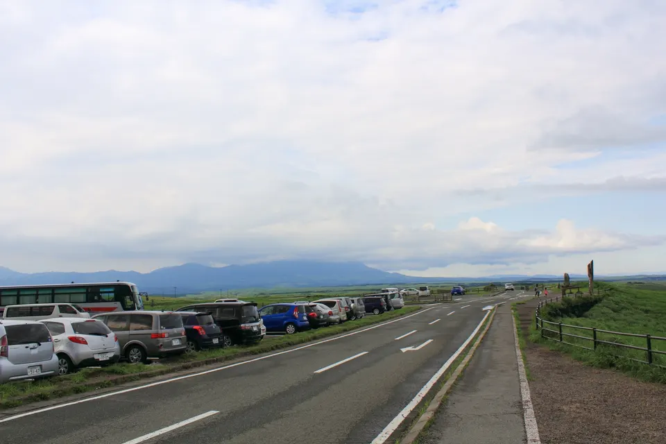
Daikanbo Lookout
A panoramic viewpoint on the northern rim of the Aso caldera, looking across farmland toward the five peaks of Aso. Summer brings green grasslands, while autumn can bring silver pampas grass and a weather-dependent sea of clouds.
 Kumamoto
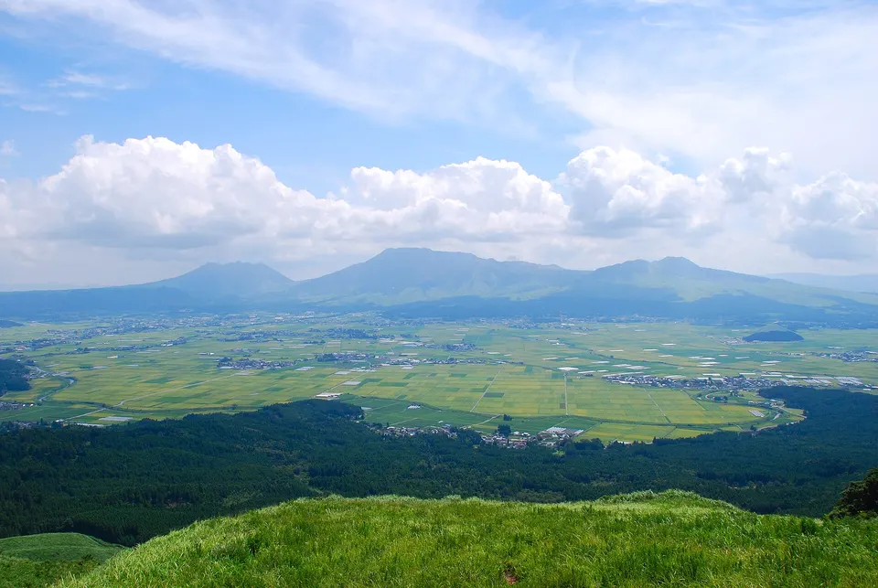
Mount Aso and Aso Caldera
Mount Aso and Aso Caldera is a notable visitor destination in Kumamoto Prefecture. Check the official local source for current access, hours, closures and seasonal conditions.
 Kumamoto
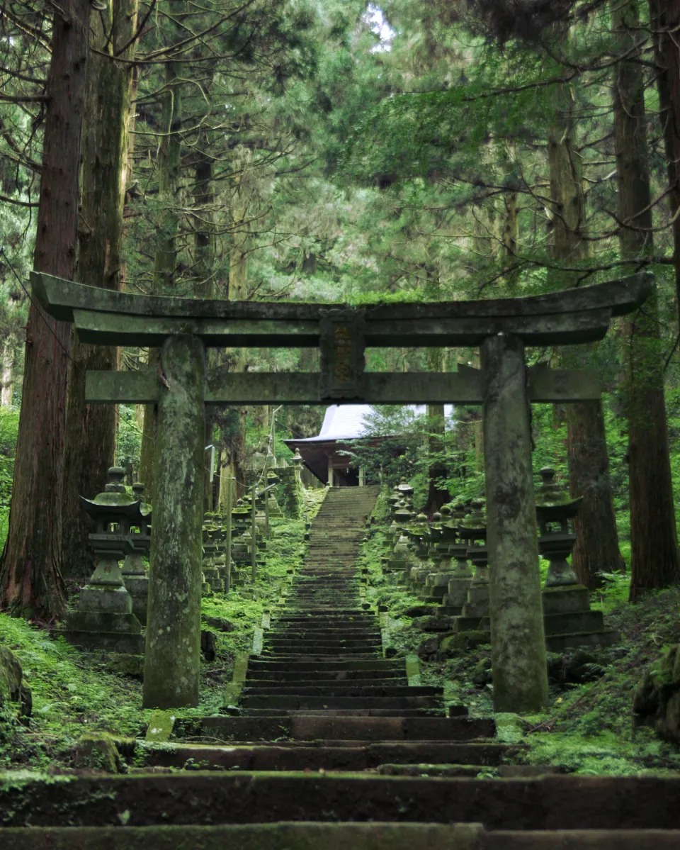
Kamishikimi Kumanoimasu Shrine
A forest shrine in Takamori whose steep stone approach passes rows of moss-covered lanterns beneath tall cedar trees. Beyond the worship hall a path climbs to Ugeto-iwa, a large wind-eroded opening in the rock associated with local legend.
 Kumamoto
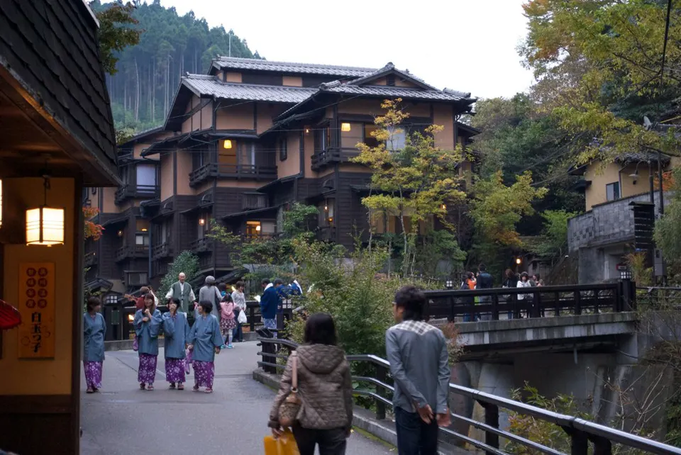
Kurokawa Onsen
Kurokawa Onsen is a notable visitor destination in Kumamoto Prefecture. Check the official local source for current access, hours, closures and seasonal conditions.
 Oita
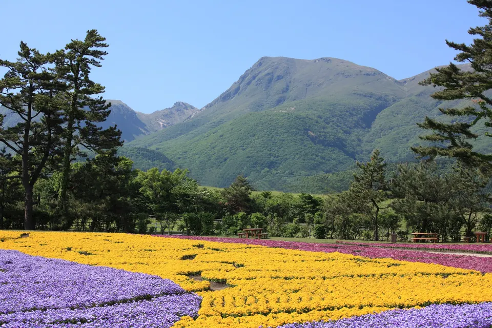
OitaKuju Flower Park
A highland flower park facing the Kuju mountains, with planted displays that change through the open season. Spring fields and early-summer flowers give way to green kochia, globe amaranth, celosia, marigolds and salvia around late summer and early autumn.
 Kumamoto
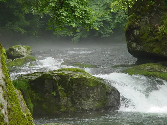
Kikuchi Gorge
Kikuchi Gorge is a notable visitor destination in Kumamoto Prefecture. Check the official local source for current access, hours, closures and seasonal conditions.
 Oita
OitaKuju Mountains
A volcanic range in Oita whose 1,791-metre main peak is among Japan's 100 Famous Mountains, famous for pink azalea in early summer.
 Kumamoto
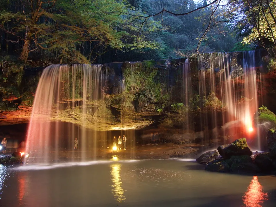
Nabegataki Falls
A broad curtain-like waterfall in Oguni formed over Aso lava terrain, with a sheltered space behind the falling water. Admission requires an advance online reservation, and wet stone surfaces can be slippery even in fair weather.
Sources, photo credits and verification
Place information: Official tourism source · Reviewed 2026-10-06
- 1. Aso Shrine Haiden, Aso City, Kumamoto, Japan · STA3816 · Source ↗ · CC BY-SA 3.0