WINTER☀️ Daytime
November–March · Snowy mountain onsen
Snow makes the village especially atmospheric, but transport and road conditions require a current check.
A secluded hot-spring village west of Matsumoto near Norikura and Kamikochi. Its mineral-rich water emerges clear and turns a distinctive milky white to pale blue after contact with air. The Alpico bus from Shin-Shimashima takes roughly 55–60 minutes, with seasonal timetables.
Before travel or when you arrive, check live space availability and confirmed rates via Google Maps.
Send this place via WhatsApp, X, Facebook, Line, or copy direct link.
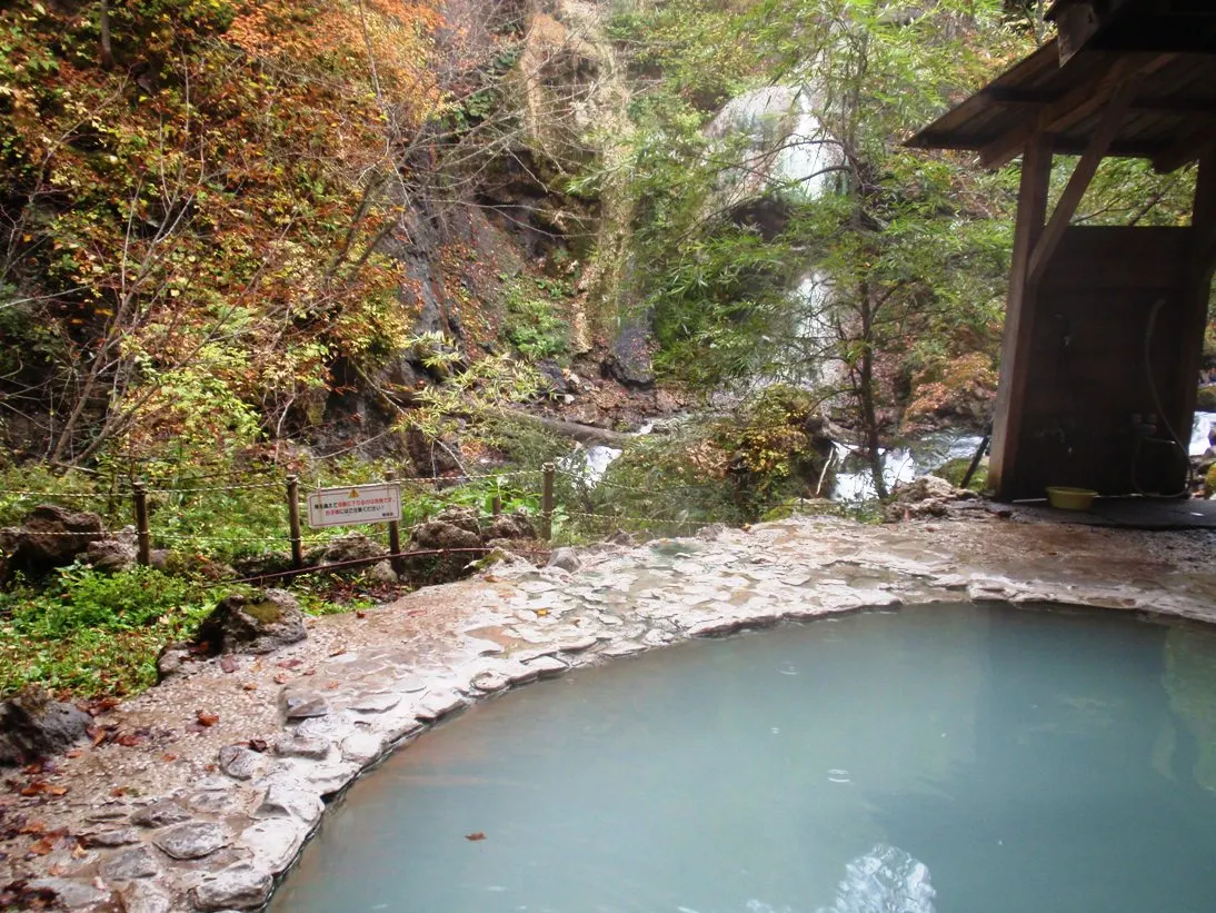
Jan · 📷 Soica2001 (talk) · Public domain · Source
Weather for your date
Today shows live hourly weather. Future dates show the best available report.
-4°C
Snow
💧 99% rain chance · wind 8 km/h
Hourly forecast
Forecast: Open-Meteo
🚉Shin-Shimashima Station
Approx. 18 km from spot
🚗Car Rental / Rural Bus
Drive ~30+ min from station
💳Mobile Suica / IC Cards
IC cards accepted on most local buses
This spot is located ~18 km from the nearest train station. Rural bus departures may run only 1–3 times per day. Always check return bus timetables in advance, or consider renting a car.
Leave the start blank to choose your current location in Google Maps. The pin is an approximate landmark; check the entrance and live services in Maps.
Typical viewing windows. Weather and bloom dates vary each year; these are not live forecasts.
Snow makes the village especially atmospheric, but transport and road conditions require a current check.
Suitability
Stroller: Not recommended
Nursing room: Not verified
Noise level: quiet
Kids: Bath rules differ by facility; winter roads can be icy and the public open-air bath closes seasonally. Check the current Alpico bus timetable.
Rules
Fire: no fire
Water access: hot_spring
Drones: banned
Within 30 km, closest first.
 Nagano
Norikura Kogen Camping Ground in Nagano, prepared with map position, photo, accessibility notes and a month-based planning window.
 Gifu
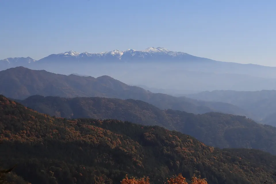
A 3,026-metre volcanic massif spanning Gifu and Nagano, with shuttle access toward Tatamidaira, alpine flower walks and summit hiking. Private cars are restricted on the high roads and winter closes the mountain approach; confirm buses, road status and weather.
 Nagano
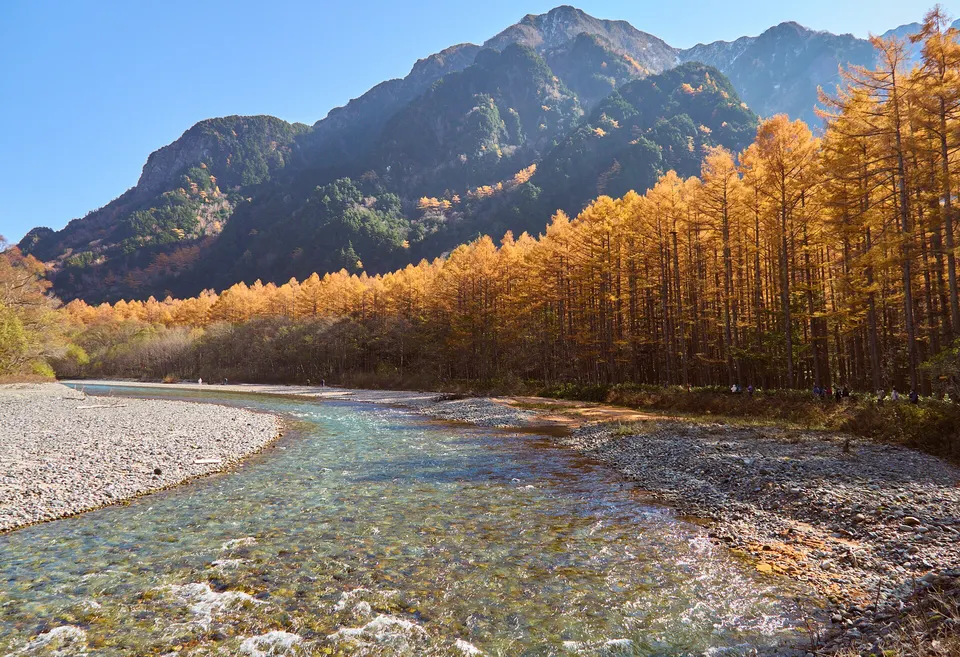
Formed in 1915 when Mount Yakedake erupted and dammed the Azusa River. Famous for standing submerged withered larch trees rising from the crystal-clear volcanic waters, reflecting the smoking volcanic peak of Yakedake and the jagged granite crests of the Hotaka mountain range.
 Nagano
An alpine valley walk beside the Azusa River with views of the Hotaka range, October broadleaf colour and late-October larch. Private-car access is restricted and the visitor season ends before heavy winter snow.
 Nagano
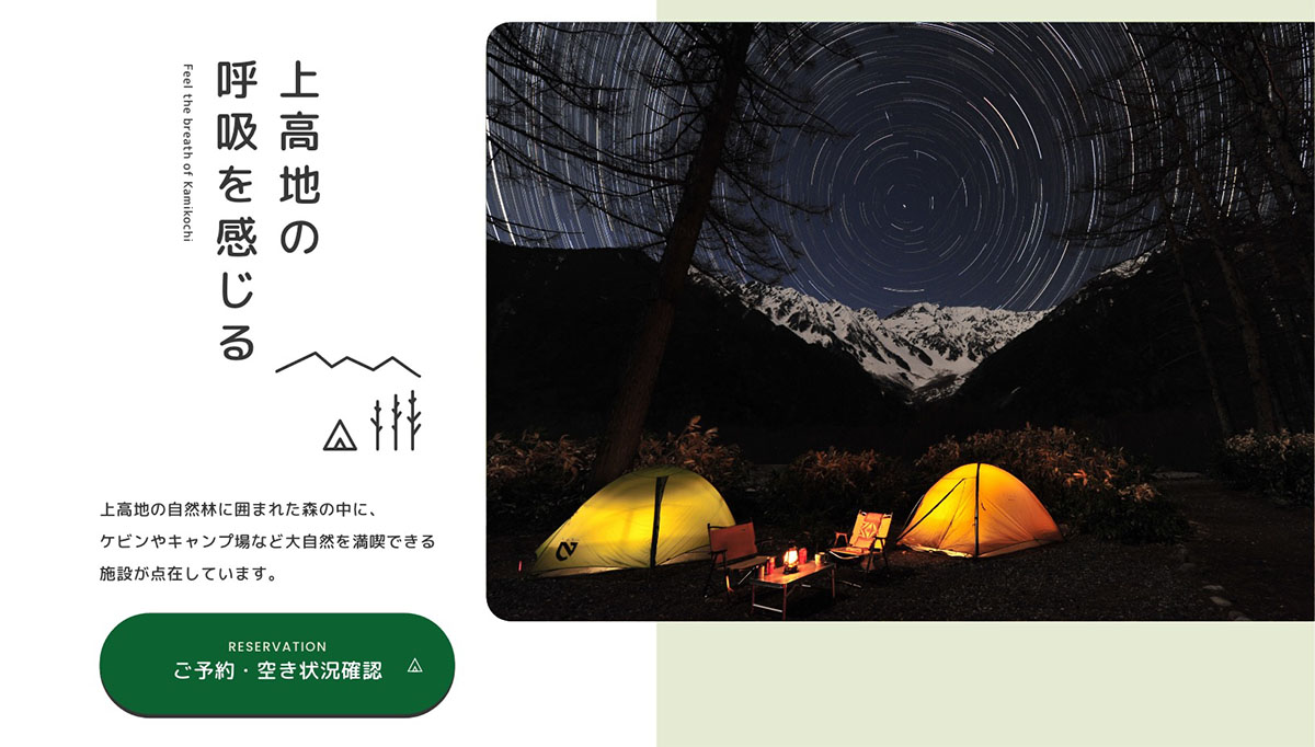
Kamikochi Konashidaira Camping Ground in Nagano, prepared with map position, photo, accessibility notes and a month-based planning window.
 Gifu
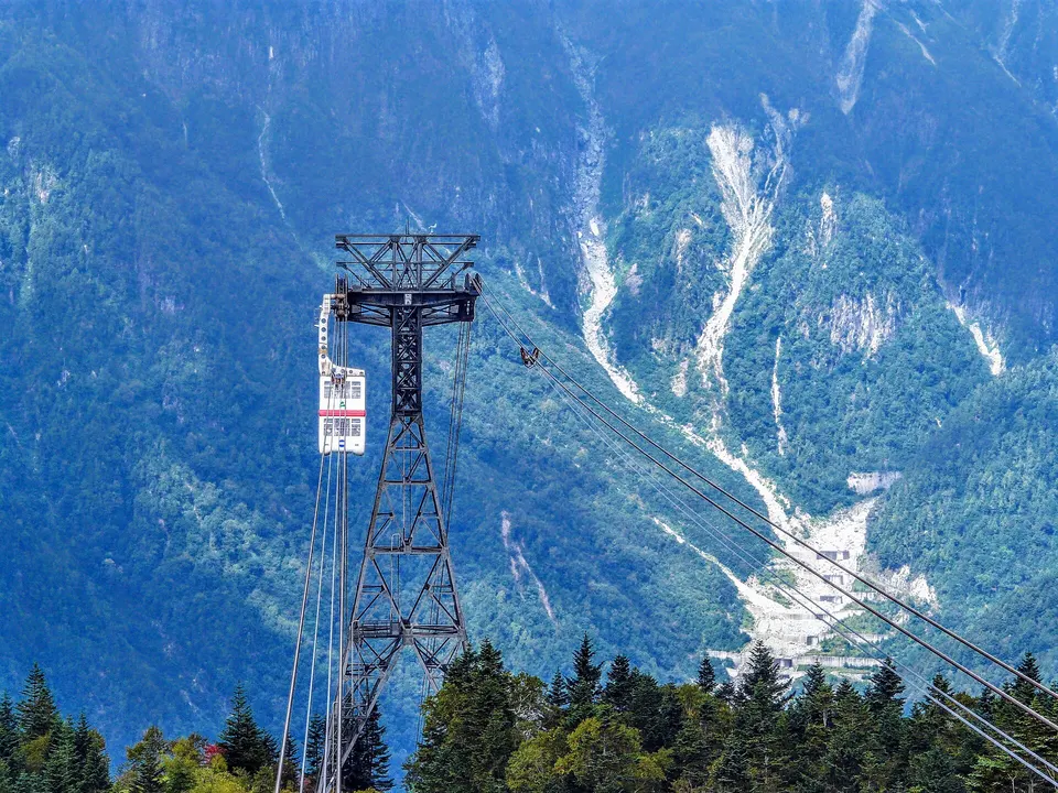
A two-stage mountain ropeway in Okuhida whose double-decker cabin climbs to a 2,156-metre observation area facing the Northern Japan Alps. Weather or maintenance can suspend service, and the high station remains much colder than the valley.
 Gifu
Five mountain hot-spring districts—Hirayu, Fukuji, Shin-Hirayu, Tochio and Shinhotaka—form Okuhida Onsen-go. More than 100 baths combine open-air bathing with alpine scenery, autumn colour and deep winter snow; access and bathing rules vary by facility.
 Gifu
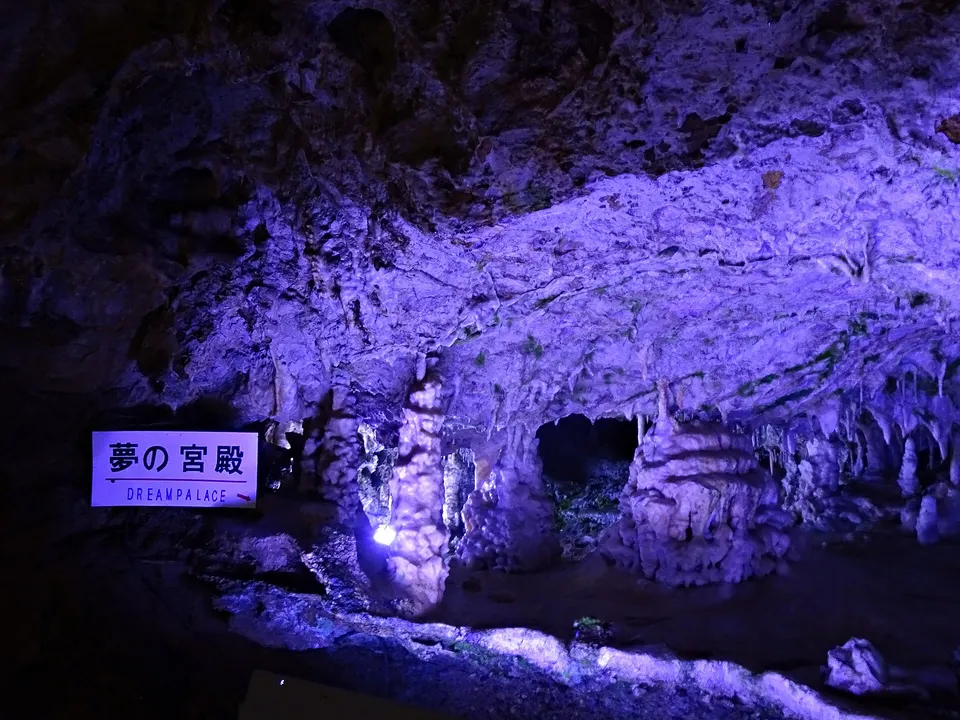
An 800-metre tourist cave formed about 250 million years ago at 900 metres elevation. The interior averages around 12°C throughout the year and contains rare helictites. Admission also covers the Ohashi Collection Museum; later cave sections are steep and narrow.
Place information: Official tourism source · Reviewed 2026-09-27