A shrine in Hirakawa said to date from 807, surrounded by a lotus pond that blooms in summer.
- Best time
- Not added yet
- Parking
- 📍 Navigate in Google Maps ↗Nearby parking1 min walkℹ Paid · Fee not confirmed (check signs on arrival)📍 Navigate in Google Maps ↗Nearby parking3 min walkℹ Paid · Fee not confirmed (check signs on arrival)🚗 All Nearby Parking & Real-Time Availability🔍 Find Nearby Parking on Map ↗
Before travel or when you arrive, check live space availability and confirmed rates via Google Maps.
- Getting there
- Plan the route from your start ↓ · Open in Google Maps ↗
- Official info
- Wikipedia ↗
Send this place via WhatsApp, X, Facebook, Line, or copy direct link.

📷 nnh · Public domain · Source
Weather for your date
Today shows live hourly weather. Future dates show the best available report.
5°C
Mainly clear
💧 6% rain chance · wind 13 km/h
Hourly forecast
Forecast: Open-Meteo
Getting to Saruka Shrine
🚉Tsugaru-Onoe Station
Approx. 1.2 km from spot
🚶~15 min walk
Easy walking distance from station
💳Mobile Suica / IC Cards
Tap phone at ticket gates (No cash needed)
Directions to Saruka Shrine
Leave the start blank to choose your current location in Google Maps. The pin is an approximate landmark; check the entrance and live services in Maps.
When to see this place
Typical viewing windows. Weather and bloom dates vary each year; these are not live forecasts.
No month-specific guide yet for Nov. This does not mean the place is closed.
Suitability
Stroller: Not verified
Nursing room: Not available
Noise level: quiet
Rules
Drones: banned
Nearby places
Within 30 km, closest first.
 Aomori
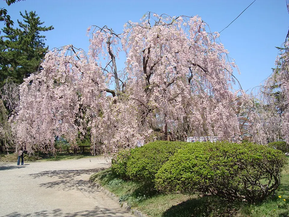
Hirosaki Castle and Park
Castle grounds, moats and cherry trees make this a signature Hirosaki stop. Winter offers a different view of the park. Check which castle areas are accessible and consult current blossom or snow reports.
 Aomori
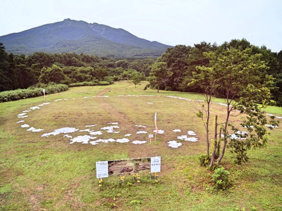
Omori-Katsuyama Stone Circle
A Jomon stone circle at the foot of Mount Iwaki in Hirosaki, part of a World Heritage site.
 Aomori
Mount Iwaki
A 1,625-metre volcano known as 'Tsugaru Fuji', the symbol of western Aomori, with a scenic toll road toward the summit.
 Aomori
Tsugaru Iwaki Skyline
A seasonal toll road with 69 hairpin bends climbing Mount Iwaki to the 8th Station, followed by lift and hiking access higher up.
 Aomori
 Museum of Art
A white, partly buried museum beside the Sannai-Maruyama Jomon site, known for Yoshitomo Nara's giant 'Aomori-ken' dog.
 Aomori
Sannai-Maruyama Site
One of Japan's largest Jomon-period settlements in Aomori city, part of a World Heritage site, with reconstructed buildings and a museum.
 Aomori
Tsugaru Dam
A large dam in Nishimeya at the gateway to the Shirakami Mountains, with a lake popular for autumn colours.
 Aomori
Matsumi Falls
A remote 90-metre waterfall on a tributary of the Oirase River in Towada, one of Japan's Top 100 Waterfalls.
Sources, photo credits and verification
Place information: Official tourism source · Reviewed 2026-10-06
- 1. the torii of Saruga Shrine, Hirakawa, Aomori, Japan w:ja:猿賀神社鳥居(青森県平川市) · nnh · Source ↗ · Public domain
- 2. the haiden of Saruga Shrine, Hirakawa, Aomori, Japan w:ja:猿賀神社 拝殿(青森県平川市) · nnh · Source ↗ · Public domain
- 3. Kagami-ga-ike lake in Saruga Shrine, Hirakawa, Aomori, Japan w:ja:猿賀神社 内 鏡ヶ池(青森県平川市) · nnh · Source ↗ · Public domain