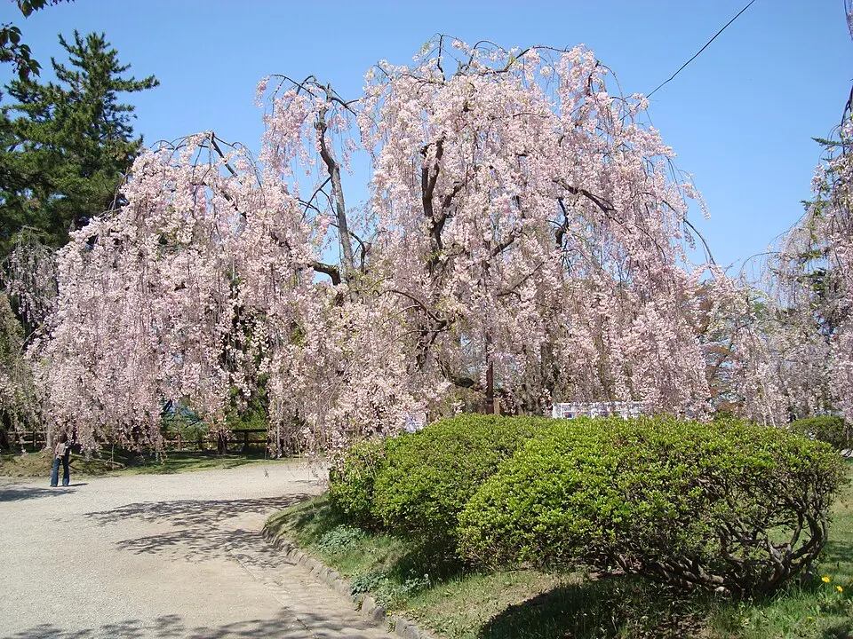
Seasonal access and best-view period
Road openings, winter closures and visibility depend on current weather. Check the official road notice before departure.
Tourism source ↗A seasonal toll road with 69 hairpin bends climbing Mount Iwaki to the 8th Station, followed by lift and hiking access higher up.

Capture month unconfirmed · Historical photo, not a live view
AUTUMN · Oct
Weather for your date
Today shows live hourly weather. Future dates show the best available report.
13°C
Overcast
💧 37% rain chance · wind 3 km/h
Hourly forecast
Forecast: Open-Meteo
Packing checklist
No tips added for this spot yet.
Parking
Parking availability — confirm before arrival
UNVERIFIED
Vehicle height not verified
A verified fee was not available in the imported source. Check the official access page and on-site signs; mountain-road parking may close with weather or winter restrictions.
Parking source ↗Leave the start blank to choose your current location in Google Maps. The pin is an approximate landmark; check the entrance and live services in Maps.
A DIFFERENT JAPAN, EVERY MONTH
Typical viewing windows. Weather and bloom dates vary each year; these are not live forecasts.
Road openings, winter closures and visibility depend on current weather. Check the official road notice before departure.
Tourism source ↗Suitability
Stroller: Not recommended
Nursing room: Not available
Noise level: moderate
Kids: Terrain, steps, seasonal roads, weather and opening rules vary; check the official source before travel.
Rules
Fire: no fire
Drones: banned
Within 30 km, closest first.
Place information: Official tourism source · Reviewed 2026-10-04