Hidden Tokyo Subterranean Stream
Constant 11-12°C temperature throughout all seasons, refreshing in summer and warm in winter.
Designated as a Natural Monument of Tokyo, Otake Limestone Cave in Akiruno is a 330-meter underground labyrinth discovered in 1961. Visitors explore the narrow natural rock fissure wearing helmets while listening to underground mountain streams bubbling beneath stalactites.

📷 Syohei Arai · CC BY-SA 4.0 · Source
Weather for your date
Today shows live hourly weather. Future dates show the best available report.
24°C
Partly cloudy
💧 0% rain chance · wind 3 km/h
Hourly forecast
Forecast: Open-Meteo
Leave the start blank to choose your current location in Google Maps. The pin is an approximate landmark; check the entrance and live services in Maps.
Typical viewing windows. Weather and bloom dates vary each year; these are not live forecasts.
Constant 11-12°C temperature throughout all seasons, refreshing in summer and warm in winter.
Suitability
Stroller: Not recommended
Nursing room: Not available
Noise level: quiet
Kids: Hard helmets provided at ticket counter; low ceilings require ducking.
Rules
Fire: no fire
Drones: banned
Within 30 km, closest first.
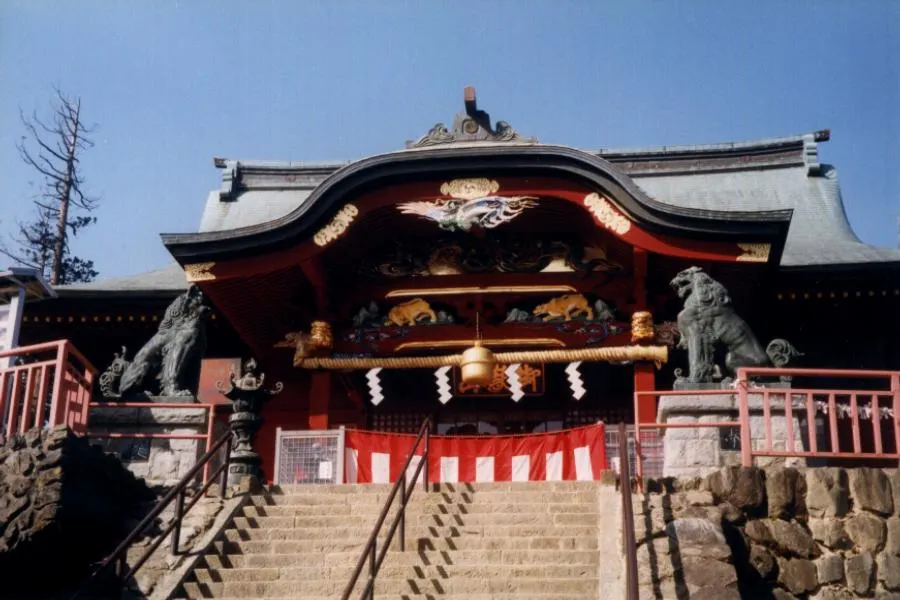 Tokyo
A forested mountain in western Tokyo reached by cable car and walking routes, centred on Musashi Mitake Shrine and trail connections toward waterfalls and rock gardens.
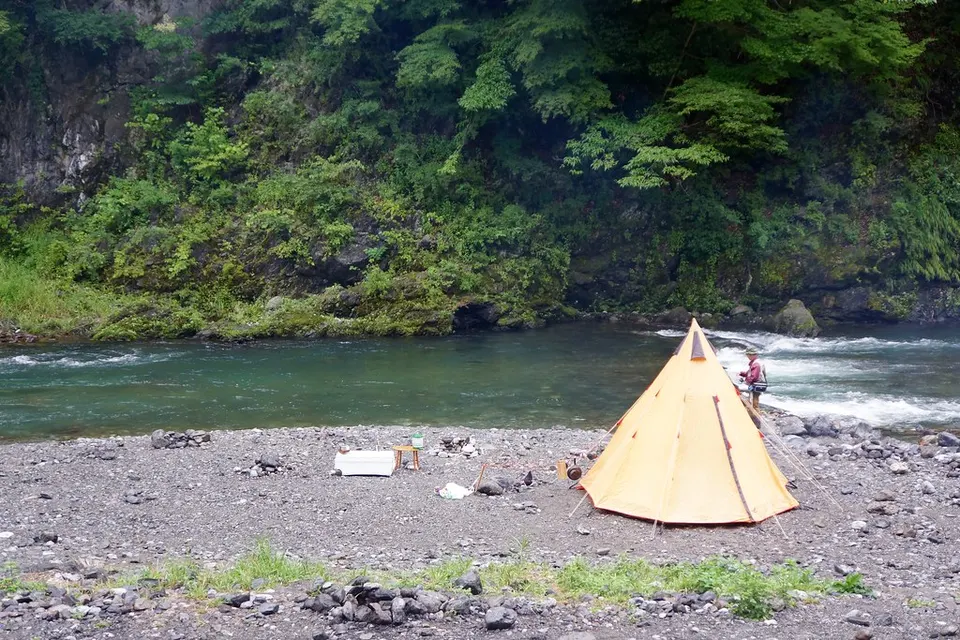 Tokyo
Hikawa Camping Ground, Okutama in Tokyo, prepared with map position, photo, accessibility notes and a month-based planning window.
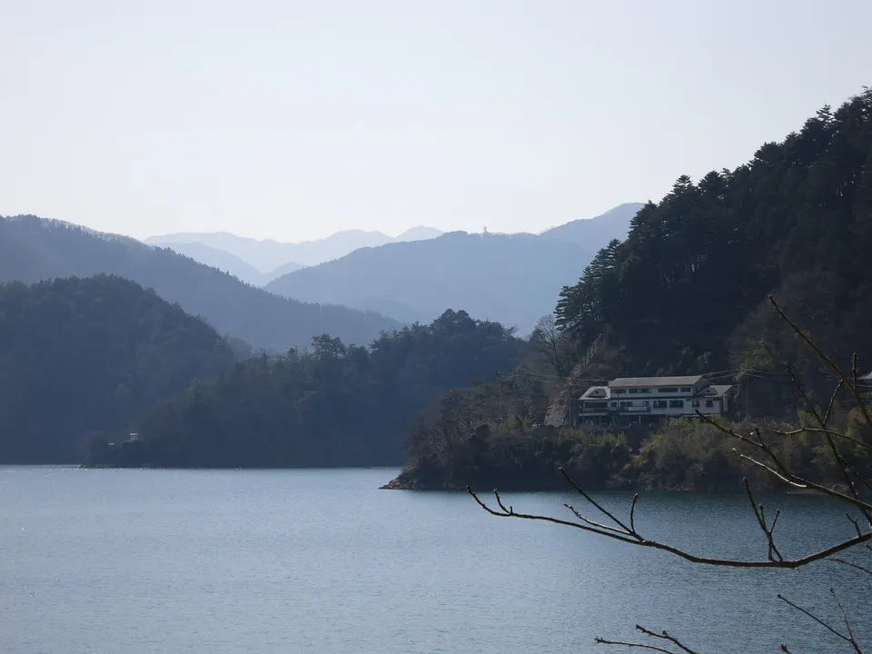 Tokyo
A large mountain reservoir at Tokyo’s western edge, with dam viewpoints, floating pedestrian bridges and forested shore scenery.
 Tokyo
A cool limestone cave in the Okutama mountains reached by a winding mountain road and local bus.
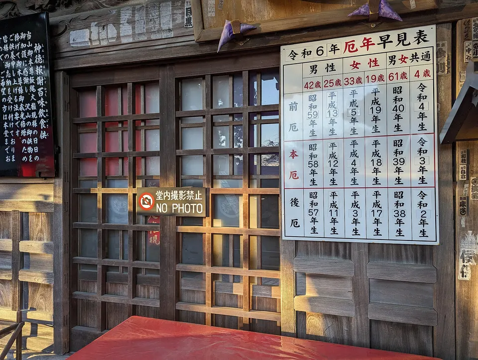 Tokyo
Mount Takao in Tokyo, prepared with map position, photo, accessibility notes and a month-based planning window.
 Saitama
Hanno Riverfront Camping Area in Saitama, with access, map location and seasonal planning data for international visitors.
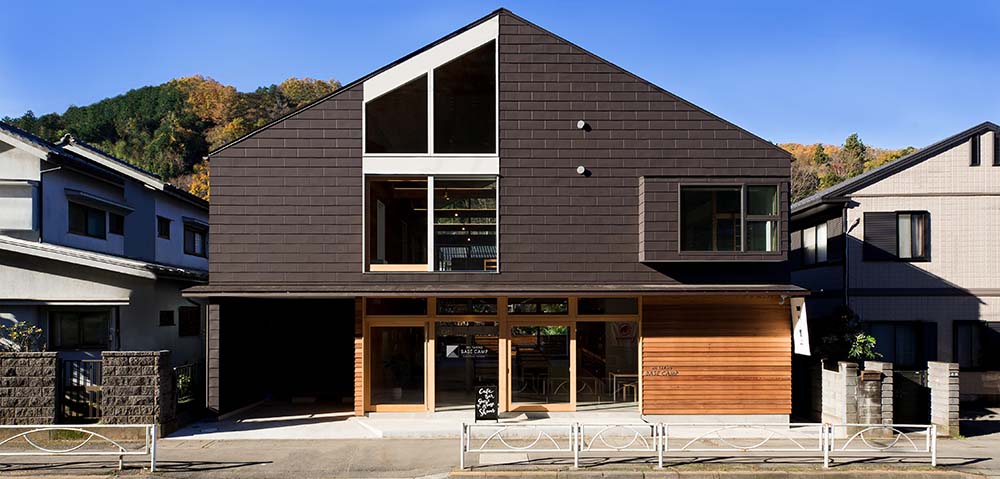 Tokyo
Mt. Takao Base Camp Area in Tokyo, prepared with map position, photo, accessibility notes and a month-based planning window.
 Kanagawa
A large outdoor amusement resort in Sagamihara with hillside rides, athletic play areas, seasonal illumination, camping and hot-spring facilities. Tickets, attraction operation and event hours vary by date and weather.
Place information: Official tourism source