October–November · Western Tokyo autumn
Colour reaches the higher forest before central Tokyo; timing changes by elevation.
Tourism source ↗A forested mountain in western Tokyo reached by cable car and walking routes, centred on Musashi Mitake Shrine and trail connections toward waterfalls and rock gardens.
Best time to visit: Oct–Nov – Western Tokyo autumn · May–Jun – Fresh green and mountain flowers
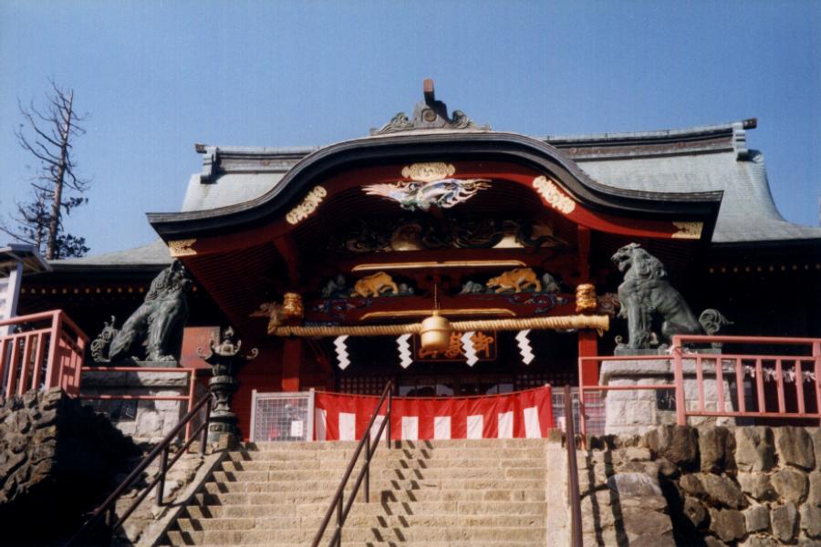
Recorded capture month: Nov · Historical photo, not a live view
AUTUMN · Oct
Weather for your date
Today shows live hourly weather. Future dates show the best available report.
12°C
Partly cloudy
💧 0% rain chance · wind 3 km/h
Hourly forecast
Forecast: Open-Meteo
Packing checklist
No tips added for this spot yet.
Parking
Nearby public parking (OpenStreetMap)
NEARBY
· 12 min walk
Vehicle height not verified
Community-mapped nearby parking. Capacity, fees, hours and vehicle limits are not verified; check signs on arrival.
Parking source ↗Leave the start blank to choose your current location in Google Maps. The pin is an approximate landmark; check the entrance and live services in Maps.
A DIFFERENT JAPAN, EVERY MONTH
Typical viewing windows. Weather and bloom dates vary each year; these are not live forecasts.
Colour reaches the higher forest before central Tokyo; timing changes by elevation.
Tourism source ↗Suitability
Stroller: Not recommended
Nursing room: Not verified
Noise level: quiet
Kids: Beyond the village and shrine, trails have roots, rocks and steep sections; cable car and trail status should be checked.
Rules
Fire: no fire
Water access: stream
Drones: banned
Within 30 km, closest first.
Hikawa Camping Ground, Okutama in Tokyo, prepared with map position, photo, accessibility notes and a month-based planning window.
A large mountain reservoir at Tokyo’s western edge, with dam viewpoints, floating pedestrian bridges and forested shore scenery.
Hanno Riverfront Camping Area in Saitama, with access, map location and seasonal planning data for international visitors.
A storybook park beside Lake Miyazawa in Hanno, surrounded by forest and based on Tove Jansson’s Moomin stories. The park combines Moominhouse, exhibitions, theatre, play areas, lakeside paths and seasonal evening events; dated admission should be reserved on busy days.
Mount Takao in Tokyo, prepared with map position, photo, accessibility notes and a month-based planning window.
Mt. Takao Base Camp Area in Tokyo, prepared with map position, photo, accessibility notes and a month-based planning window.
A mountain city known for Chichibu Shrine, pilgrimage culture, the December Night Festival and Hitsujiyama Park’s spring moss-pink hillside.
A large park in western Tokyo with seasonal flower fields, ginkgo avenues and a Japanese garden. Cosmos are a September–October highlight; ginkgo avenues usually color in November. Check the park’s current flower report, opening calendar and event notices before choosing your entrance.
Place information: Official tourism source · Reviewed 2026-09-27