GENERALAny time
Year-Round Ocean Drive & Coastal Pine Scenery
Sweeping coastal avenue bordered by one million ancient black pines along Karatsu Bay’s crescent beach.
A sweeping 4.5-kilometer black pine forest hugging Karatsu Bay, celebrated as one of Japan’s three most scenic pine groves.
Before travel or when you arrive, check live space availability and confirmed rates via Google Maps.
Send this place via WhatsApp, X, Facebook, Line, or copy direct link.

📷 MaedaAkihiko This photo was taken with Panasonic Lumix DC-FZ1000 II · CC BY-SA 4.0 · Source
Weather for your date
Today shows live hourly weather. Future dates show the best available report.
22°C
Overcast
💧 100% rain chance · wind 15 km/h
Hourly forecast
Forecast: Open-Meteo
🚉Hamasaki Station
Approx. 0.8 km from spot
🚶~10 min walk
Easy walking distance from station
💳Mobile Suica / IC Cards
Tap phone at ticket gates (No cash needed)
Leave the start blank to choose your current location in Google Maps. The pin is an approximate landmark; check the entrance and live services in Maps.
Typical viewing windows. Weather and bloom dates vary each year; these are not live forecasts.
Sweeping coastal avenue bordered by one million ancient black pines along Karatsu Bay’s crescent beach.
Suitability
Stroller: Accessible
Nursing room: Not available
Noise level: quiet
Rules
Water access: sea
Drones: permit required
Within 30 km, closest first.
 Saga
A seaside castle tower on a hill above Karatsu Bay, known as 'Maizuru Castle' for its crane-like wings of pine forest.
 Saga
Designated a National Natural Monument along the Genkai Sea. Raging ocean currents have bored seven parallel caverns into towering cliffs of columnar basalt rock, the largest extending 110 meters deep into the earth. Excursion boats navigate straight into the mouth of the caves.
 Saga
A 1,046-metre mountain in the centre of Saga, with grassy ridges, wide views and early-summer flowers.
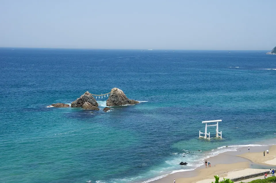 Fukuoka
Itoshima Coast is a notable visitor destination in Fukuoka Prefecture. Check the official local source for current access, hours, closures and seasonal conditions.
 Saga
An island off Yobuko joined by bridge, with grassy clifftop views over the Genkai Sea and a ranch on top.
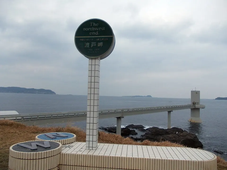 Saga
A windswept cape on the Genkai Sea in Karatsu, paired with the small grilled-turban-shell stalls beside the parking area. The coast is known for broad sea views, sunrise and sunset, with the underwater observatory nearby.
 Saga
A small island off Yobuko reached by ferry, linked by legend to the birth of King Muryeong of Baekje.
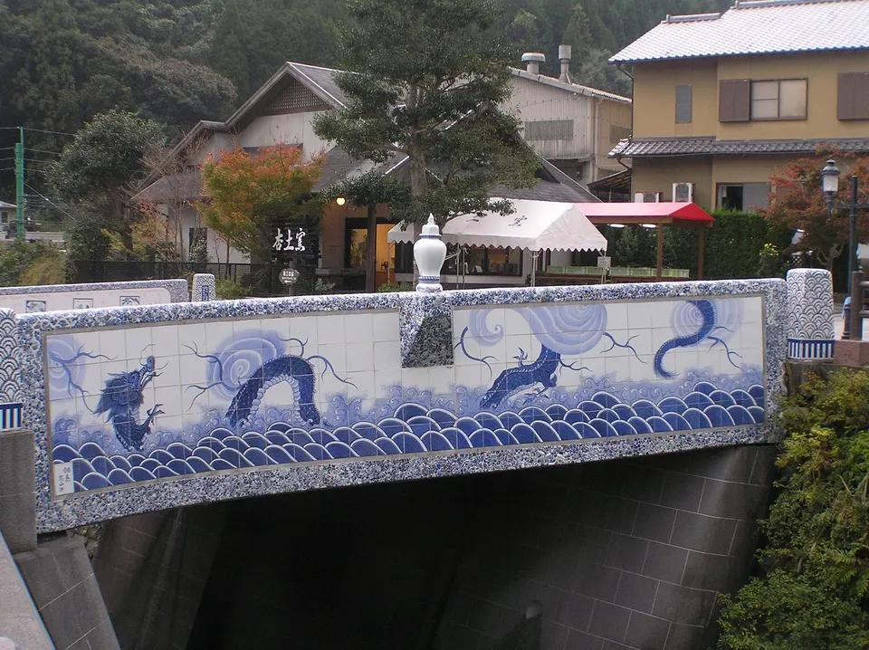 Saga
Imari Porcelain Town is a notable visitor destination in Saga Prefecture. Check the official local source for current access, hours, closures and seasonal conditions.
Place information: Official tourism source · Reviewed 2026-10-25