An island off Yobuko joined by bridge, with grassy clifftop views over the Genkai Sea and a ranch on top.
- Best time
- Not added yet
- Parking
- 📍 Navigate in Google Maps ↗Nearby parking12 min walkℹ Paid · Fee not confirmed (check signs on arrival)📍 Navigate in Google Maps ↗Nearby parking19 min walkℹ Paid · Fee not confirmed (check signs on arrival)🚗 All Nearby Parking & Real-Time Availability🔍 Find Nearby Parking on Map ↗
Before travel or when you arrive, check live space availability and confirmed rates via Google Maps.
- Getting there
- Plan the route from your start ↓ · Open in Google Maps ↗
- Official info
- Wikipedia ↗
Send this place via WhatsApp, X, Facebook, Line, or copy direct link.

📷 そらみみ · CC BY-SA 4.0 · Source
Weather for your date
Today shows live hourly weather. Future dates show the best available report.
12°C
Mainly clear
💧 20% rain chance · wind 29 km/h
Hourly forecast
Forecast: Open-Meteo
Getting to Kabe Island
🚉Nishi-Karatsu Station
Approx. 12.5 km from spot
🚗Car Rental / Rural Bus
Drive ~30+ min from station
💳Mobile Suica / IC Cards
IC cards accepted on most local buses
This spot is located ~12.5 km from the nearest train station. Rural bus departures may run only 1–3 times per day. Always check return bus timetables in advance, or consider renting a car.
Directions to Kabe Island
Leave the start blank to choose your current location in Google Maps. The pin is an approximate landmark; check the entrance and live services in Maps.
When to see this place
Typical viewing windows. Weather and bloom dates vary each year; these are not live forecasts.
No month-specific guide yet for Nov. This does not mean the place is closed.
Suitability
Stroller: Not verified
Nursing room: Not available
Noise level: moderate
Rules
Drones: banned
Nearby places
Within 30 km, closest first.
 Saga
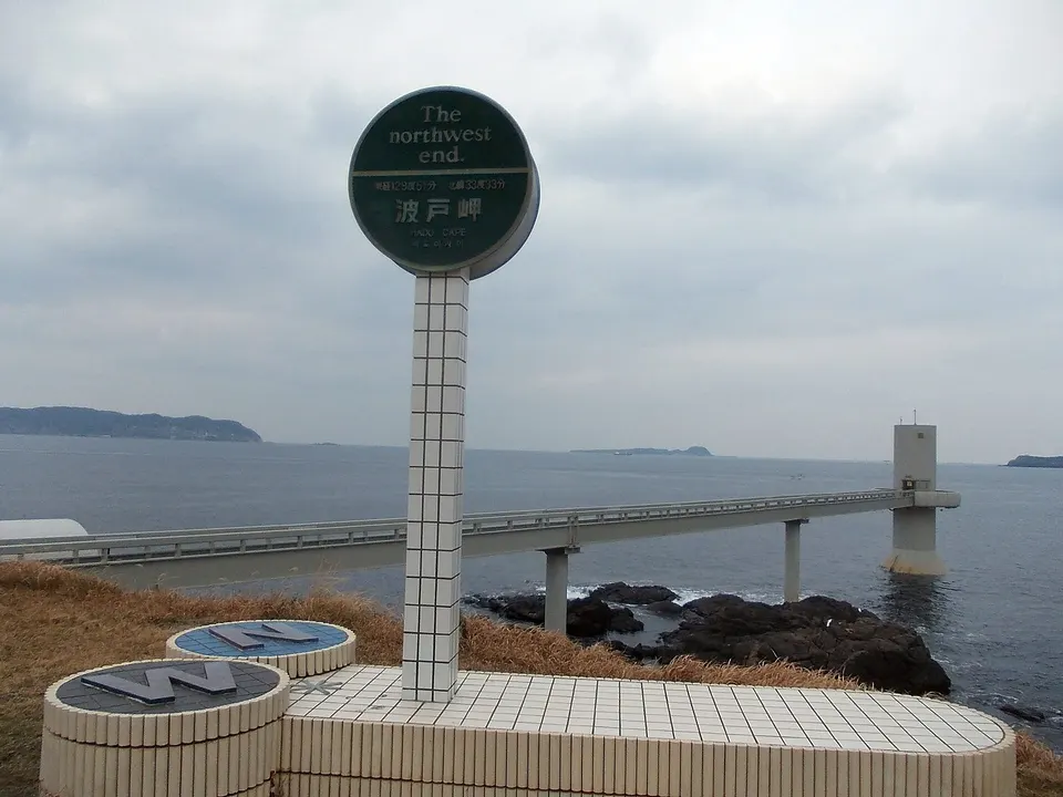
Hado Cape and Tsuboyaki Hut
A windswept cape on the Genkai Sea in Karatsu, paired with the small grilled-turban-shell stalls beside the parking area. The coast is known for broad sea views, sunrise and sunset, with the underwater observatory nearby.
 Saga
Nanatsugama Seven Basalt Sea Caves
Designated a National Natural Monument along the Genkai Sea. Raging ocean currents have bored seven parallel caverns into towering cliffs of columnar basalt rock, the largest extending 110 meters deep into the earth. Excursion boats navigate straight into the mouth of the caves.
 Saga
Kakara Island
A small island off Yobuko reached by ferry, linked by legend to the birth of King Muryeong of Baekje.
 Saga
Karatsu Castle
A seaside castle tower on a hill above Karatsu Bay, known as 'Maizuru Castle' for its crane-like wings of pine forest.
 Saga
Nijinomatsubara Pine Grove
A sweeping 4.5-kilometer black pine forest hugging Karatsu Bay, celebrated as one of Japan’s three most scenic pine groves.
 Fukuoka
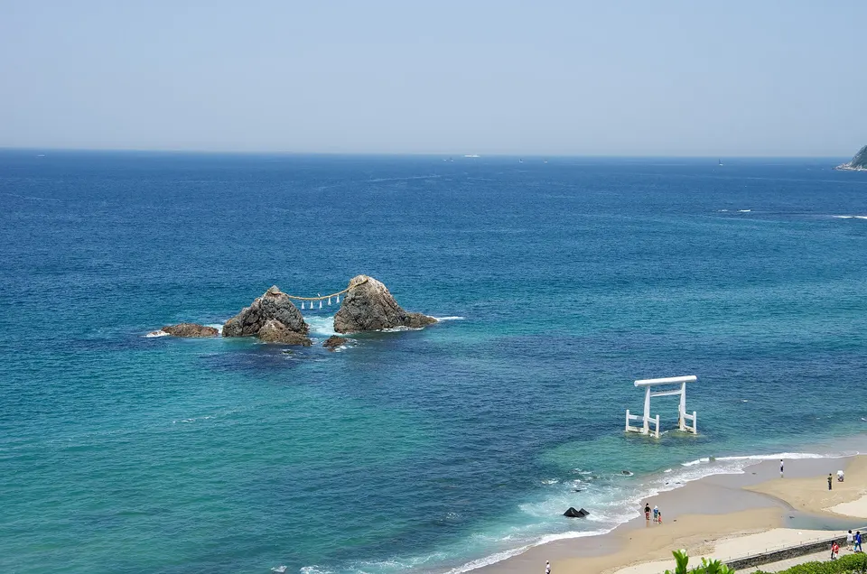
Itoshima Coast
Itoshima Coast is a notable visitor destination in Fukuoka Prefecture. Check the official local source for current access, hours, closures and seasonal conditions.
Sources, photo credits and verification
Place information: Official tourism source · Reviewed 2026-10-06
- 1. 呼子町先方町より望む加部島 · そらみみ · Source ↗ · CC BY-SA 4.0
- 2. 呼子町先方町より望む鷹島と加部島 · そらみみ · Source ↗ · CC BY-SA 4.0
- 3. 呼子町先方町より望む加部島 · そらみみ · Source ↗ · CC BY-SA 4.0