The 1,898-metre cone rising above Niseko and Kutchan is often called Ezo Fuji. Summer hiking reaches an exposed volcanic rim, while winter turns the mountain and surrounding farms into a powerful snow landscape viewed from safely accessible roads and resorts.
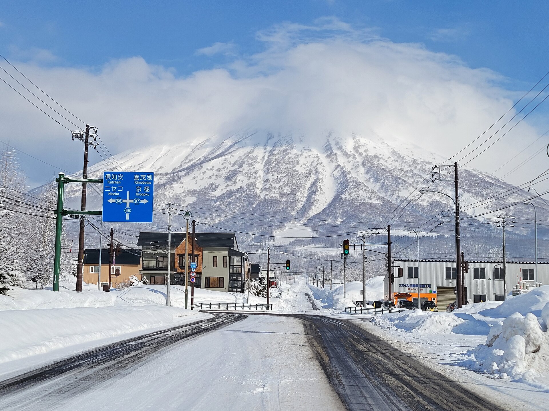
Recorded capture month: Feb · Historical photo, not a live view
AUTUMN · Oct
Weather for your date
Today shows live hourly weather. Future dates show the best available report.
-3°C
Mainly clear
💧 0% rain chance · wind 3 km/h
Hourly forecast
Forecast: Open-Meteo
Packing checklist
No tips added for this spot yet.
Parking
Parking has not been verified for this place.
Search nearby parking ↗Directions to Mount Yotei
Leave the start blank to choose your current location in Google Maps. The pin is an approximate landmark; check the entrance and live services in Maps.
A DIFFERENT JAPAN, EVERY MONTH
When to see this place
Typical viewing windows. Weather and bloom dates vary each year; these are not live forecasts.
No month-specific guide yet for Oct. This does not mean the place is closed.
Suitability
Stroller: Not recommended
Nursing room: Not available
Noise level: quiet
Kids: A summit hike is long and strenuous; winter ascent requires expert avalanche skills and is not a family sightseeing activity.
Rules
Fire: no fire
Drones: permit required
Sources, photo credits and verification
Place information: Official tourism source · Reviewed 2026-09-26