A 622-metre mountain in Kitakyushu, reached by cable car and slope car, famous for one of Japan's best night views.

Capture month unconfirmed · Historical photo, not a live view
AUTUMN · Oct
Weather for your date
Today shows live hourly weather. Future dates show the best available report.
17°C
Mainly clear
💧 0% rain chance · wind 6 km/h
Hourly forecast
Forecast: Open-Meteo
Packing checklist
No tips added for this spot yet.
Parking
Parking has not been verified for this place.
Search nearby parking ↗Directions to Mount Sarakura
Leave the start blank to choose your current location in Google Maps. The pin is an approximate landmark; check the entrance and live services in Maps.
A DIFFERENT JAPAN, EVERY MONTH
When to see this place
Typical viewing windows. Weather and bloom dates vary each year; these are not live forecasts.
No month-specific guide yet for Oct. This does not mean the place is closed.
Suitability
Stroller: Not verified
Nursing room: Not available
Noise level: quiet
Rules
Drones: banned
Nearby places
Within 30 km, closest first.
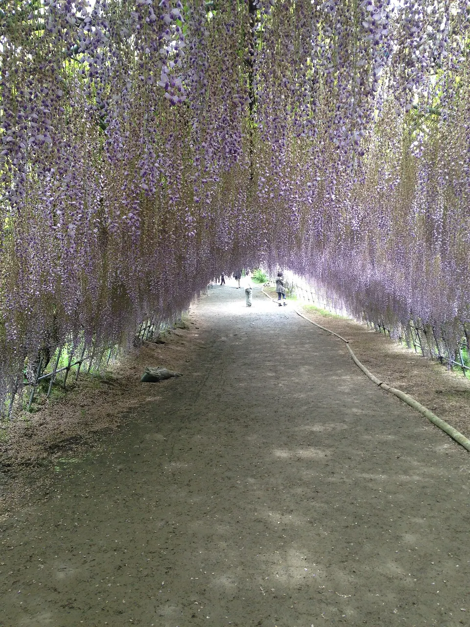 Fukuoka
Kawachi Wisteria Garden
Kawachi Wisteria Garden is a notable visitor destination in Fukuoka Prefecture. Check the official local source for current access, hours, closures and seasonal conditions.
 Fukuoka
Kitakyushu Municipal Museum of Art
A hilltop art museum by architect Arata Isozaki, whose two long galleries point out over Kitakyushu like binoculars.
 Yamaguchi
Ganryujima Island
A small island off Shimonoseki where Miyamoto Musashi fought Sasaki Kojiro in 1612, reached by a short ferry.
 Fukuoka
Munakata Taisha
The head of Japan's Munakata shrines, part of the World Heritage site of the sacred island of Okinoshima; the main Hetsu-gu shrine is open to visitors.
Sources, photo credits and verification
Place information: Official tourism source · Reviewed 2026-10-06
- 1. 皿倉山(JR八幡駅近くから撮影) · 投稿者 · Source ↗ · CC BY-SA 3.0