A 1,626-metre volcano where Miyagi, Iwate and Akita meet, renowned for some of Tohoku's most vivid autumn colours.

Capture month unconfirmed · Historical photo, not a live view
AUTUMN · Oct
Weather for your date
Today shows live hourly weather. Future dates show the best available report.
5°C
Clear sky
💧 4% rain chance · wind 15 km/h
Hourly forecast
Forecast: Open-Meteo
Packing checklist
No tips added for this spot yet.
Parking
Parking has not been verified for this place.
Search nearby parking ↗Directions to Mount Kurikoma
Leave the start blank to choose your current location in Google Maps. The pin is an approximate landmark; check the entrance and live services in Maps.
A DIFFERENT JAPAN, EVERY MONTH
When to see this place
Typical viewing windows. Weather and bloom dates vary each year; these are not live forecasts.
No month-specific guide yet for Oct. This does not mean the place is closed.
Suitability
Stroller: Not verified
Nursing room: Not available
Noise level: quiet
Rules
Drones: banned
Nearby places
Within 30 km, closest first.
 Iwate
IwateGenbikei Gorge
A two-kilometre ravine on the Iwai River in Ichinoseki, known for the 'flying dango' rice dumplings delivered by basket across the gorge.
 Miyagi
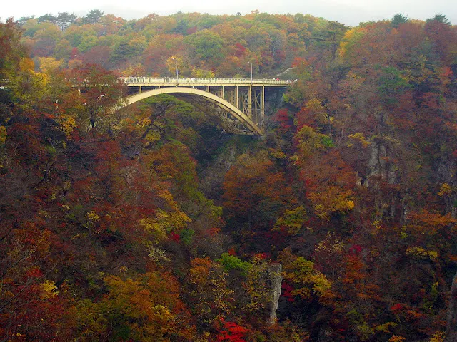
Naruko Gorge
A deep wooded gorge known for autumn colors around Ofukazawa Bridge. The resthouse viewing area is a useful base for a foliage visit. Typical autumn window: Mid-October to early November. Check which walking trails and seasonal bus services are operating; allow extra time on autumn weekends.
 Iwate
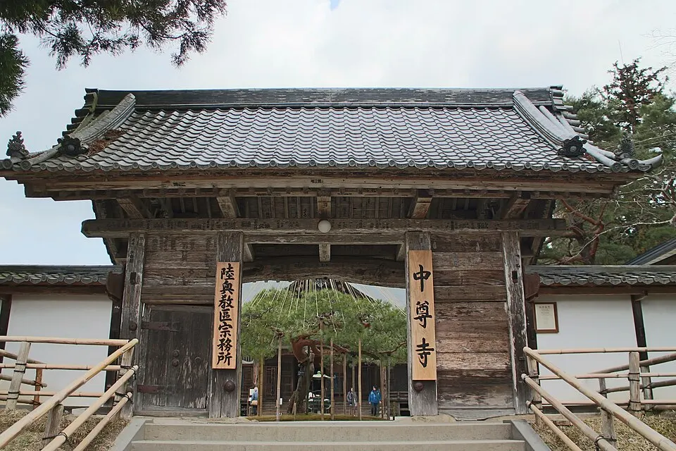
IwateChusonji Temple
A major temple complex in Hiraizumi, known for its Golden Hall and wooded approach. Allow time for the uphill approach; confirm admission and accessible routes.
Sources, photo credits and verification
Place information: Official tourism source · Reviewed 2026-10-06
- 1. View of Sugawadake Peak, the highest peak of Mount Kurikoma, from the north-northwest. Taken from Najigahara. · Tomofumi Sato · Source ↗ · CC BY-SA 3.0