A 1,005-metre mountain in the Daisen-Oki National Park area of western Tottori.

Capture month unconfirmed · Historical photo, not a live view
AUTUMN · Oct
Weather for your date
Today shows live hourly weather. Future dates show the best available report.
10°C
Partly cloudy
💧 37% rain chance · wind 2 km/h
Hourly forecast
Forecast: Open-Meteo
Packing checklist
No tips added for this spot yet.
Parking
Parking has not been verified for this place.
Search nearby parking ↗Directions to Mount Hobutsu
Leave the start blank to choose your current location in Google Maps. The pin is an approximate landmark; check the entrance and live services in Maps.
A DIFFERENT JAPAN, EVERY MONTH
When to see this place
Typical viewing windows. Weather and bloom dates vary each year; these are not live forecasts.
No month-specific guide yet for Oct. This does not mean the place is closed.
Suitability
Stroller: Not verified
Nursing room: Not available
Noise level: quiet
Rules
Drones: banned
Nearby places
Within 30 km, closest first.
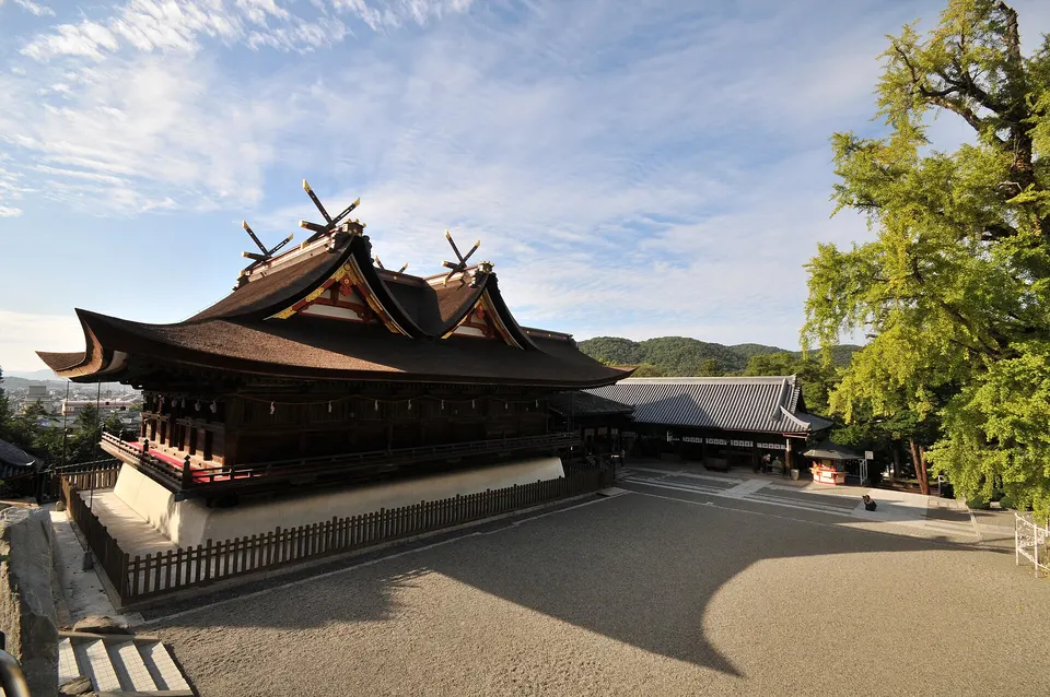 Okayama
Hiruzen Kogen Camping Ground
Hiruzen Kogen Camping Ground in Okayama, with access, map location and seasonal planning data for international visitors.
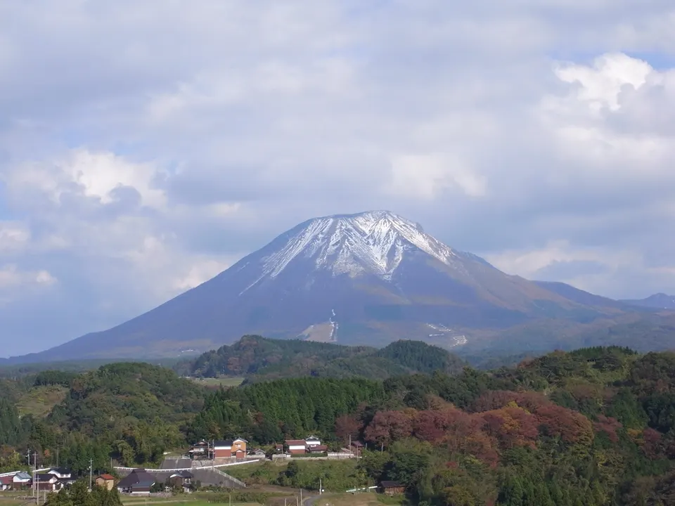 Tottori
Mount Daisen
Mount Daisen is a notable visitor destination in Tottori Prefecture. Check the official local source for current access, hours, closures and seasonal conditions.
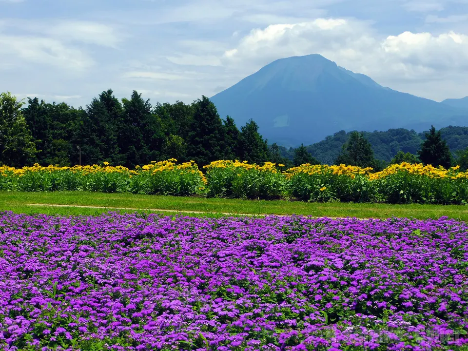 Tottori
Tottori Hanakairo Flower Park
A covered walkway and conservatory keep flower viewing possible in winter, with seasonal displays and illuminations.
 Tottori
Yonago Castle Ruins
Hilltop stone walls above Yonago with sweeping views of Mount Daisen, Lake Nakaumi and the Sea of Japan.
 Okayama
Ikura Cave
A riverside limestone cave with waterfalls and a developed underground course through the karst landscape.
 Shimane
Gassan Toda Castle Ruins
The mountain stronghold of the Amago clan in Yasugi, one of Japan's 100 Fine Castles, with terraced earthworks along a ridge trail.
Sources, photo credits and verification
Place information: Official tourism source · Reviewed 2026-10-06
- 1. 宝仏山を西北西から望む。根雨駅より撮影。 · Mass Ave 975 · Source ↗ · CC BY-SA 3.0