At 2,356 metres the highest peak in Tohoku, a volcano rising above the Oze marshlands in Oze National Park.

Capture month unconfirmed · Historical photo, not a live view
AUTUMN · Oct
Weather for your date
Today shows live hourly weather. Future dates show the best available report.
3°C
Overcast
💧 100% rain chance · wind 12 km/h
Hourly forecast
Forecast: Open-Meteo
Packing checklist
No tips added for this spot yet.
Parking
Parking has not been verified for this place.
Search nearby parking ↗Directions to Mount Hiuchigatake
Leave the start blank to choose your current location in Google Maps. The pin is an approximate landmark; check the entrance and live services in Maps.
A DIFFERENT JAPAN, EVERY MONTH
When to see this place
Typical viewing windows. Weather and bloom dates vary each year; these are not live forecasts.
No month-specific guide yet for Oct. This does not mean the place is closed.
Suitability
Stroller: Not verified
Nursing room: Not available
Noise level: quiet
Rules
Drones: banned
Nearby places
Within 30 km, closest first.
 Gunma
GunmaMount Shibutsu
A 2,228-metre peak above the Oze marshes and one of Japan's 100 Famous Mountains, known for rare serpentine-rock flowers.
 Tochigi
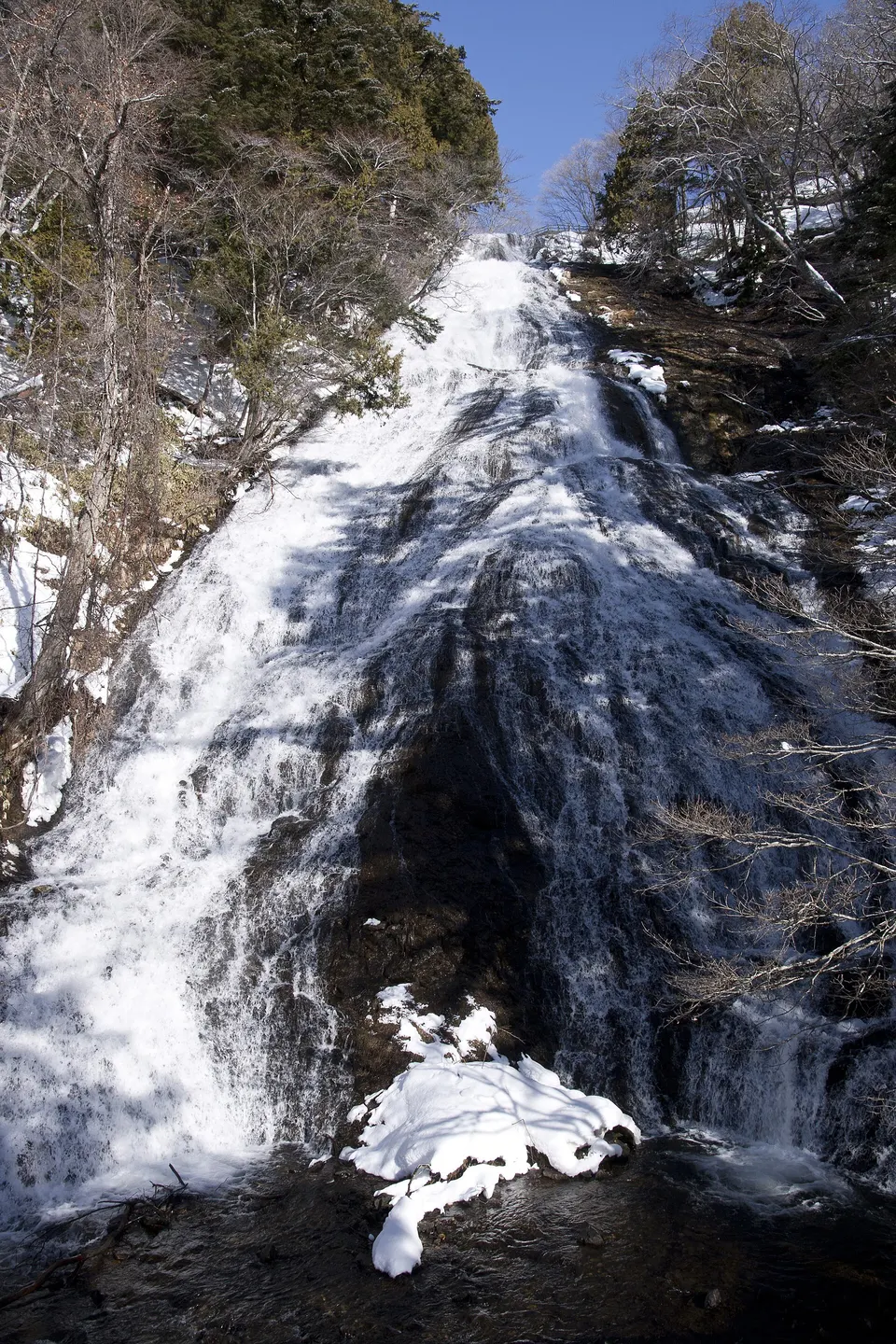
Yudaki Falls
A powerful 70-metre cascade flowing from Lake Yunoko, with a close lower observation deck and trail connection toward Senjogahara.
 Tochigi
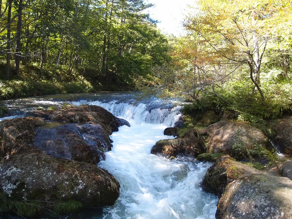
Senjogahara Marshland
A high moor in Oku-Nikko crossed by boardwalk trails, with broad views toward Mount Nantai and seasonal wetland plants.
 Tochigi
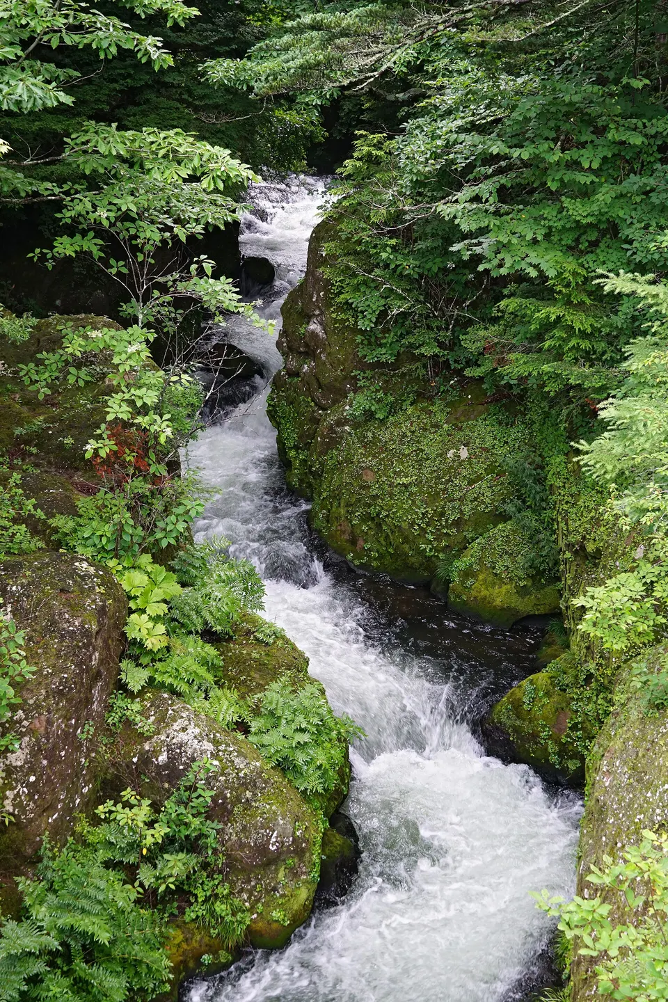
Ryuzu Falls
A cascading waterfall below Lake Chuzenji whose divided lower stream resembles a dragon’s head. It is among Oku-Nikko’s earliest autumn-colour locations.
 Niigata
Mount Echigo-Komagatake
A 2,003-metre peak in Uonuma and one of Japan's 100 Famous Mountains, a demanding climb with snow lingering into early summer.
 Tochigi
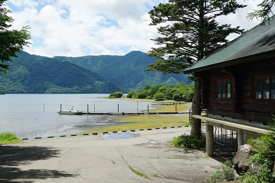
Shobugahama Campsite
A lakeside campsite on the northern shore of Lake Chuzenji, convenient for Oku-Nikko walks and waterfalls.
 Tochigi
Lake Chuzenji — Chuzenji Onsen Shore
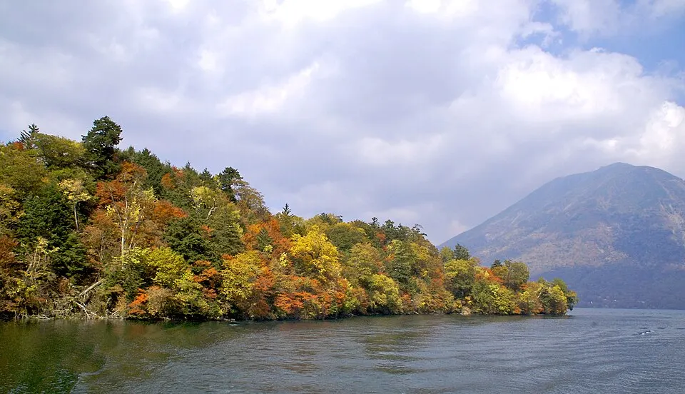
An elevated lake in Oku-Nikko framed by forested slopes and Mount Nantai. The eastern shore offers a manageable starting point for autumn scenery. Typical autumn window: Mid to late October. Lake temperatures can be lower than central Nikko. Allow for Irohazaka traffic and check boat and bus schedules.
Sources, photo credits and verification
Place information: Official tourism source · Reviewed 2026-10-06
- 1. Mount Hiuchi in Fukushima, Japan · Ans · Source ↗ · CC BY-SA 3.0