A 1,500-metre peak on the Miyagi–Yamagata border in the Ou mountains, listed among Japan's 200 Famous Mountains.

Capture month unconfirmed · Historical photo, not a live view
AUTUMN · Oct
Weather for your date
Today shows live hourly weather. Future dates show the best available report.
6°C
Clear sky
💧 0% rain chance · wind 14 km/h
Hourly forecast
Forecast: Open-Meteo
Packing checklist
No tips added for this spot yet.
Parking
Parking has not been verified for this place.
Search nearby parking ↗Directions to Mount Funagata
Leave the start blank to choose your current location in Google Maps. The pin is an approximate landmark; check the entrance and live services in Maps.
A DIFFERENT JAPAN, EVERY MONTH
When to see this place
Typical viewing windows. Weather and bloom dates vary each year; these are not live forecasts.
No month-specific guide yet for Oct. This does not mean the place is closed.
Suitability
Stroller: Not verified
Nursing room: Not available
Noise level: quiet
Rules
Drones: banned
Nearby places
Within 30 km, closest first.
 Yamagata
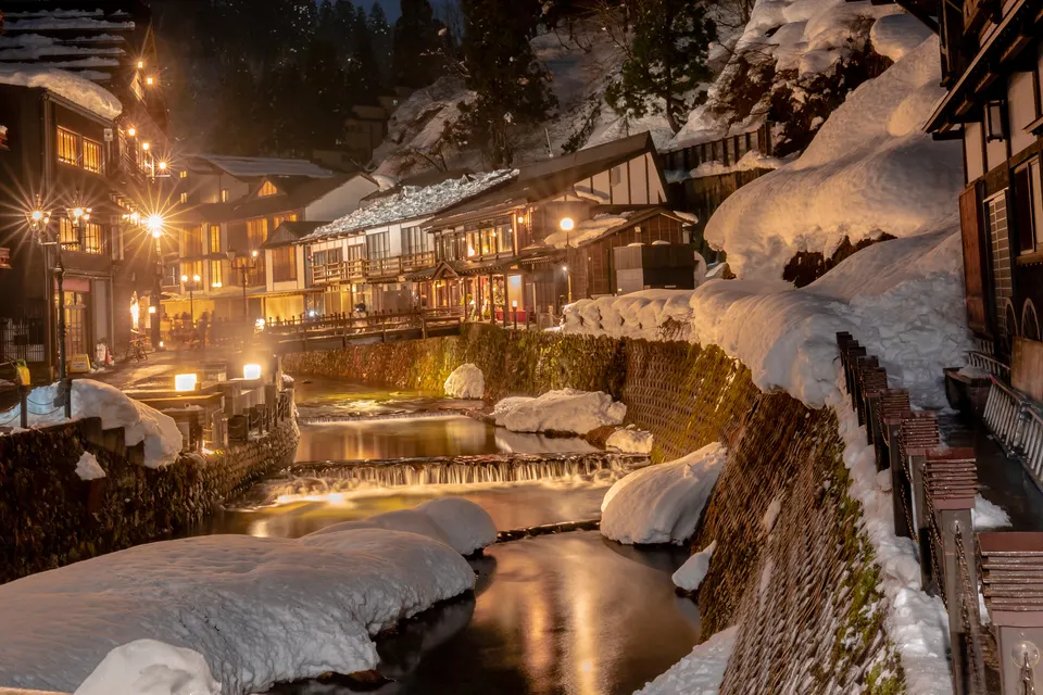
Ginzan Onsen
A compact hot-spring town lining the Ginzan River with wooden inns, small bridges and gas lamps. The Taisho-era streets are especially atmospheric under snow, but winter transport, lodging access and crowd controls need advance planning.
 Miyagi
Nanatsumori Fureai no Sato
A town-run campground with cabins below the seven Nanatsumori hills in Taiwa, north of Sendai.
 Yamagata
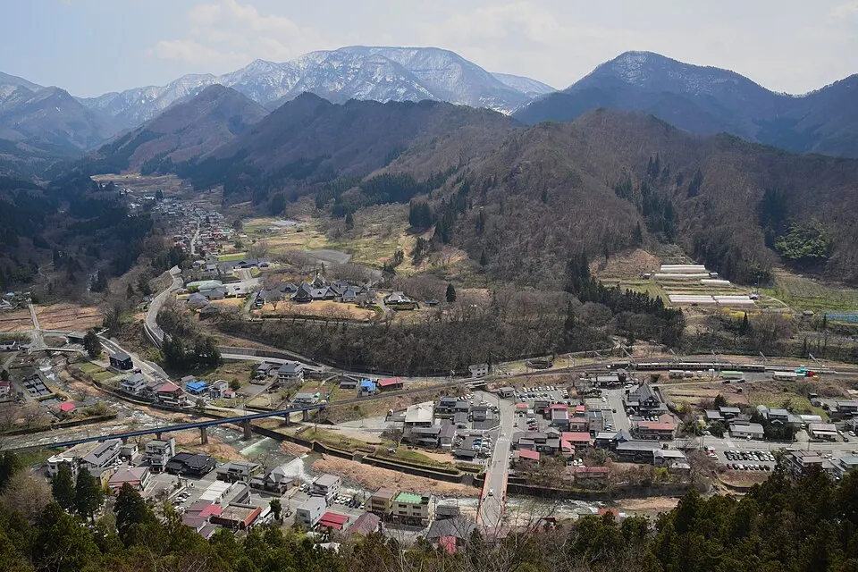
Yamadera — Risshakuji Temple
A hillside temple reached by a long stone stairway, with valley views from the upper complex. The ascent has about 1,000 steps. Check trail conditions; do not assume the upper route is suitable for strollers.
Sources, photo credits and verification
Place information: Official tourism source · Reviewed 2026-10-06
- 1. The top of Mount Funagata (Funagata-yama) seen from the southeast. · 佐藤智史 · Source ↗ · CC BY-SA 3.0