A large temple complex at the foot of Mount Hiei in Otsu, known for its bell featured in the Eight Views of Omi and its cherry blossoms.
- Best time
- Not added yet
- Parking
- 📍 Navigate in Google Maps ↗Nearby parking2 min walkℹ Paid · Fee not confirmed (check signs on arrival)📍 Navigate in Google Maps ↗Nearby parking3 min walkℹ Paid · Fee not confirmed (check signs on arrival)🚗 All Nearby Parking & Real-Time Availability🔍 Find Nearby Parking on Map ↗
Before travel or when you arrive, check live space availability and confirmed rates via Google Maps.
- Getting there
- Plan the route from your start ↓ · Open in Google Maps ↗
- Official info
- shiga-miidera.or.jp ↗
Send this place via WhatsApp, X, Facebook, Line, or copy direct link.

📷 KENPEI · CC BY-SA 3.0 · Source
Weather for your date
Today shows live hourly weather. Future dates show the best available report.
7°C
Clear sky
💧 0% rain chance · wind 15 km/h
Hourly forecast
Forecast: Open-Meteo
Getting to Miidera Temple (Onjoji)
🚉Otsu-shiyakusho-mae Station
Approx. 0.6 km from spot
🚶~8 min walk
Easy walking distance from station
💳Mobile Suica / IC Cards
Tap phone at ticket gates (No cash needed)
Directions to Miidera Temple (Onjoji)
Leave the start blank to choose your current location in Google Maps. The pin is an approximate landmark; check the entrance and live services in Maps.
When to see this place
Typical viewing windows. Weather and bloom dates vary each year; these are not live forecasts.
No month-specific guide yet for Nov. This does not mean the place is closed.
Suitability
Stroller: Not verified
Nursing room: Not available
Noise level: quiet
Rules
Drones: banned
Nearby places
Within 30 km, closest first.
 Shiga
Omi Jingu Shrine
Surrounded by tranquil cedar woods in Otsu, Omi Jingu is dedicated to the 7th-century Emperor Tenji, who established Japan's first water clock (Rokoku). World-famous among anime fans as the spiritual holy ground of the Competitive Karuta manga 'Chihayafuru', it hosts the national Meijin and Queen championships.
 Kyoto
Ginkakuji — Silver Pavilion
A Zen temple with carefully composed gardens at the northern end of the Philosopher’s Path.
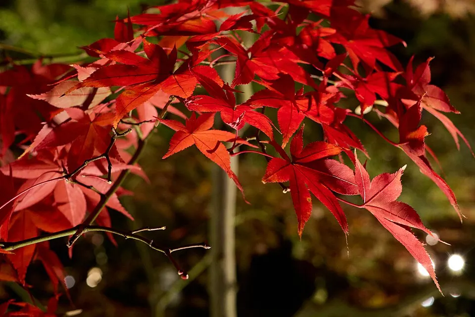 Kyoto
Eikando — Zenrinji Temple
A temple in eastern Kyoto known for its maple-lined grounds.
 Kyoto
Philosopher’s Path
A canal-side walking route connecting temples in eastern Kyoto, especially popular for spring cherry blossoms and autumn colour.
 Kyoto
Nanzenji Temple
A major Zen temple complex with grand gates, gardens and a brick aqueduct beside the eastern hills.
 Kyoto
Manshu-in Temple
A serene Tendai Buddhist monzeki temple in northeastern Kyoto famous for refined dry landscape gardens and autumn maples.
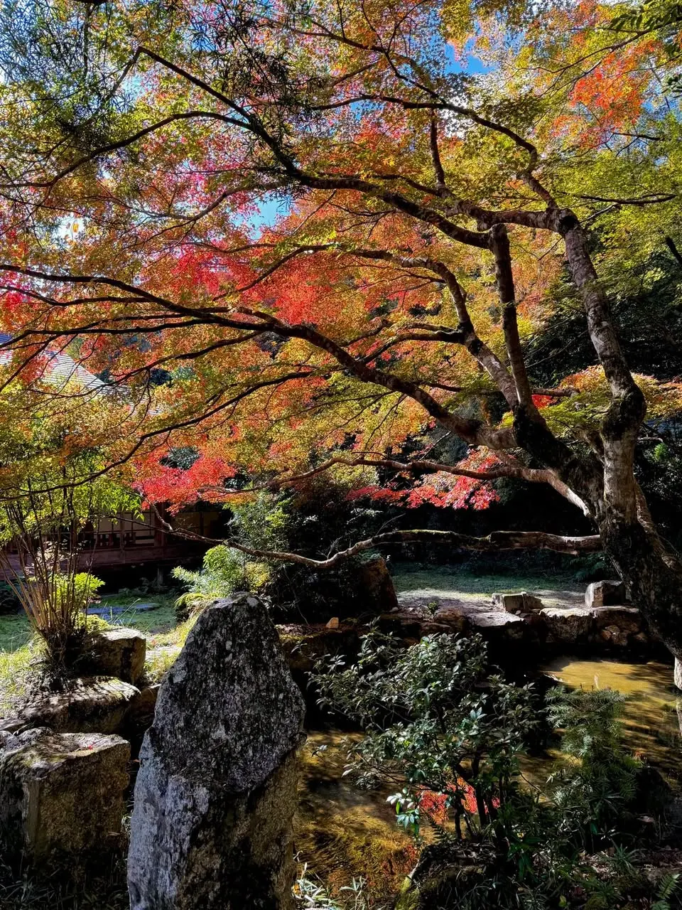 Shiga
Mount Hiei and Enryakuji
A sacred mountain on the Kyoto–Shiga border centred on Enryakuji’s forested temple precincts. Cableways, drives and walking routes connect broad Lake Biwa viewpoints with historic halls that become framed by maple colour in autumn.
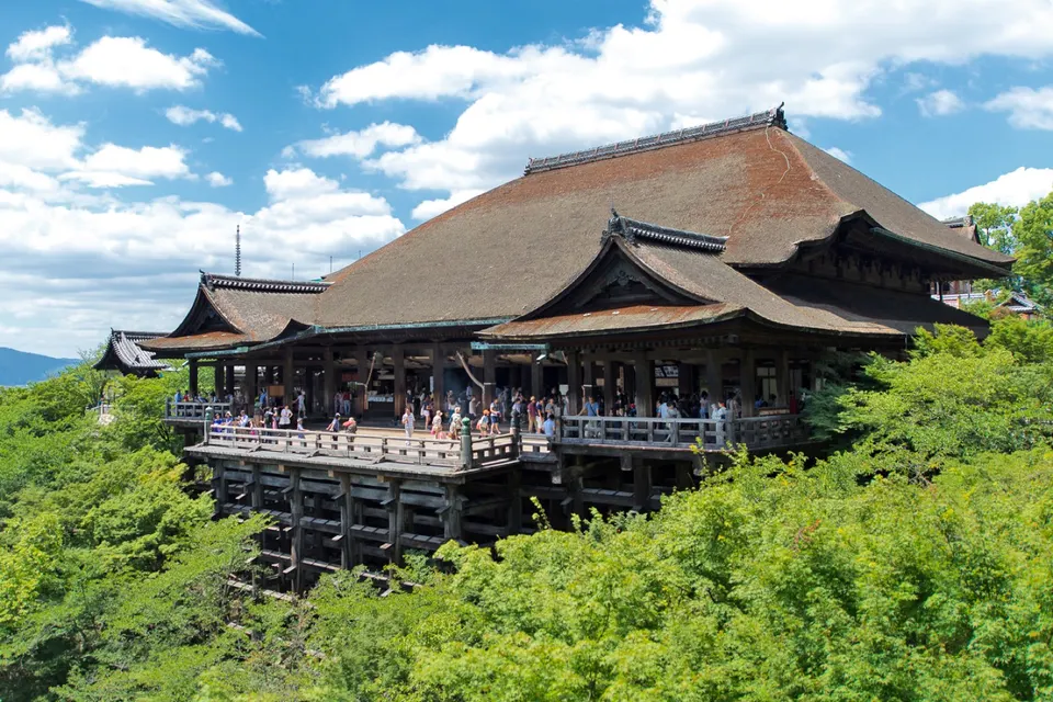 Kyoto
Kiyomizudera Temple
Kiyomizudera stands above eastern Kyoto, with a broad wooden stage looking across the surrounding hills. Its approach passes through the historic Higashiyama district.
Sources, photo credits and verification
Place information: Official tourism source · Reviewed 2026-10-06
- 1. 三井寺 境内 · KENPEI · Source ↗ · CC BY-SA 3.0
- 2. This bell Mii-dera no Bansho (三井寺の晩鐘), the evening bell at Mii-dera , a Buddhist temple in Otsu , Shiga Prefecture , Japan . The view of Lake Biwa with the sound of the of the Eight Views of Omi, and this bell is one of the Three Bells of Japan. I took the photo and contribute my rights in it to the public domain; individuals and organizations retain rights to images in it. · No machine-readable author provided. Fg2 assumed (based on copyright claims). · Source ↗ · Public domain
- 3. In Apr/May 2009, I took 15 days to walk all the way from Tokyo to Kyoto, roughly following the 546km long, ancient highway, the Nakasendo, alone. This picture was taken on day 14 of that long solo walk. Read about my preparations and my time in Japan at 546km.blogspot.com . · yeowatzup · Source ↗ · CC BY 2.0