Late October–November · Mount Hiei autumn
Colour develops earlier at the summit than in central Kyoto. Confirm the current foliage report and cableway or road timetable.
Tourism source ↗A sacred mountain on the Kyoto–Shiga border centred on Enryakuji’s forested temple precincts. Cableways, drives and walking routes connect broad Lake Biwa viewpoints with historic halls that become framed by maple colour in autumn.
Best time to visit: Oct–Nov – Mount Hiei autumn · Apr–May – Fresh green temple mountain · Dec–Mar – Winter access varies
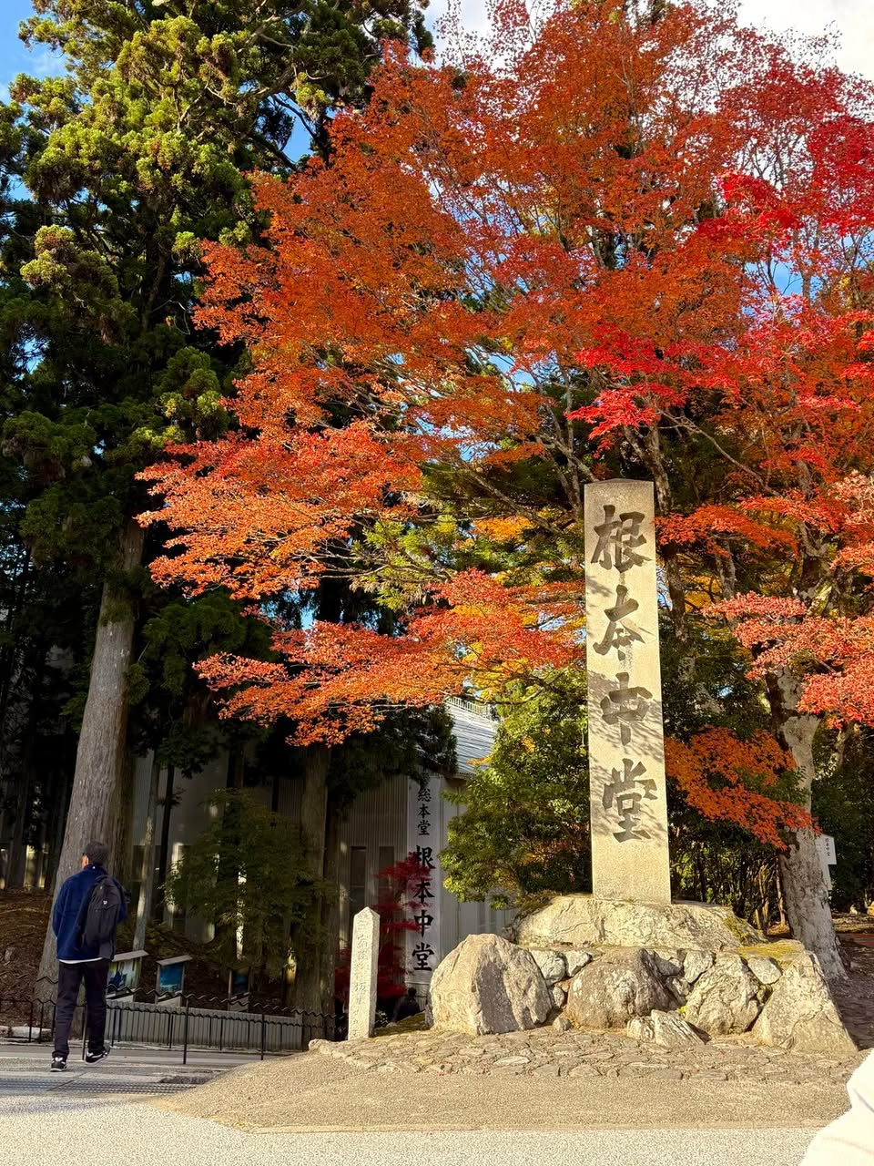
Recorded capture month: Nov · Historical photo, not a live view
AUTUMN · Oct
Weather for your date
Today shows live hourly weather. Future dates show the best available report.
14°C
Overcast
💧 34% rain chance · wind 5 km/h
Hourly forecast
Forecast: Open-Meteo
Packing checklist
No tips added for this spot yet.
Parking
Nearby public parking (OpenStreetMap)
NEARBY
· 2 min walk
Vehicle height not verified
Community-mapped nearby parking. Capacity, fees, hours and vehicle limits are not verified; check signs on arrival.
Parking source ↗Leave the start blank to choose your current location in Google Maps. The pin is an approximate landmark; check the entrance and live services in Maps.
A DIFFERENT JAPAN, EVERY MONTH
Typical viewing windows. Weather and bloom dates vary each year; these are not live forecasts.
Colour develops earlier at the summit than in central Kyoto. Confirm the current foliage report and cableway or road timetable.
Tourism source ↗Suitability
Stroller: Not recommended
Nursing room: Not verified
Noise level: quiet
Kids: The precincts cover a large mountain area with slopes, steps and seasonal transport schedules.
Rules
Fire: no fire
Drones: banned
Within 30 km, closest first.
A temple in eastern Kyoto known for its maple-lined grounds.
November · Kurama mountain autumn. Event dates, admission and lighting hours change by year; check the official source before travelling.
Gion District in Kyoto, prepared with map position, photo, accessibility notes and a month-based planning window.
Late October–mid December · Garden illumination. Event dates, admission and lighting hours change by year; check the official source before travelling.
Kiyomizudera stands above eastern Kyoto, with a broad wooden stage looking across the surrounding hills. Its approach passes through the historic Higashiyama district.
Nijo Castle in Kyoto, prepared with map position, photo, accessibility notes and a month-based planning window.
Kinkaku-ji Golden Pavilion in Kyoto, prepared with map position, photo, accessibility notes and a month-based planning window.
A Zen temple near Fushimi Inari, with designed gardens and views over maple trees.
Place information: Official tourism source · Reviewed 2026-09-27