Year-round, subject to sea conditions
Opening may change with waves, weather and maintenance. Standard admission is ¥500 for adults and ¥200 for primary-school children.
Tourism source ↗Two sea caves cut into Enoshima’s western cliffs, reached by a long island walk and stairs. The first cave extends about 152 metres and the second about 56 metres, with religious history and coastal views along the approach.
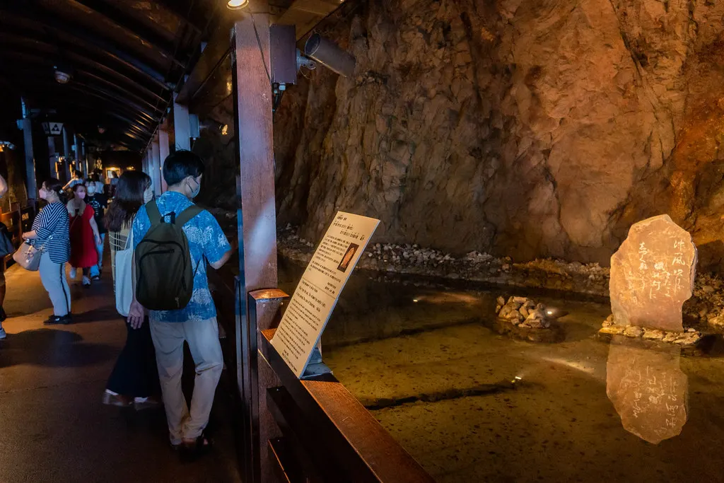
Capture month unconfirmed · Historical photo, not a live view
AUTUMN · Oct
Weather for your date
Today shows live hourly weather. Future dates show the best available report.
23°C
Clear sky
💧 0% rain chance · wind 11 km/h
Hourly forecast
Forecast: Open-Meteo
Packing checklist
No tips added for this spot yet.
Parking
Enoshima / Shonan Coast public parking
NEARBY
· 35 min walk
Vehicle height not verified
No parking is beside the caves. Use island/coast public parking, then expect a long walk and stairs. Fees vary by lot and date.
Parking source ↗Leave the start blank to choose your current location in Google Maps. The pin is an approximate landmark; check the entrance and live services in Maps.
A DIFFERENT JAPAN, EVERY MONTH
Typical viewing windows. Weather and bloom dates vary each year; these are not live forecasts.
Opening may change with waves, weather and maintenance. Standard admission is ¥500 for adults and ¥200 for primary-school children.
Tourism source ↗Suitability
Stroller: Not recommended
Nursing room: Not available
Noise level: moderate
Kids: Long stair approach, dim wet cave surfaces and possible closures during rough seas.
Rules
Fire: no fire
Water access: ocean
Drones: permit required
Within 30 km, closest first.
 Kanagawa
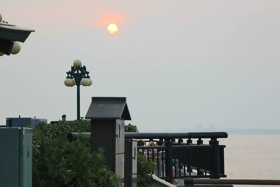
A small island in Fujisawa reached by bridge, with Enoshima Shrine, the Sea Candle observation tower, Samuel Cocking Garden, Iwaya caves, coastal cliffs and sunset views toward Mount Fuji. It is often paired with Kamakura, but administratively belongs to Fujisawa, Kanagawa.
 Kanagawa
A large aquarium on the Katase coast facing Enoshima, known for its Sagami Bay tank, jellyfish displays and dolphin shows.
 Kanagawa
A seaside park along the Fujisawa coast near Enoshima with promenades, beach access and views of Mount Fuji.
 Kanagawa
A small headland park between Kamakura and Enoshima with views of Enoshima and, on clear evenings, Mount Fuji at sunset.
 Kanagawa
One of the seven ancient cuttings into Kamakura, a mossy rock-cut trail through the hills near the Great Buddha.
 Kanagawa
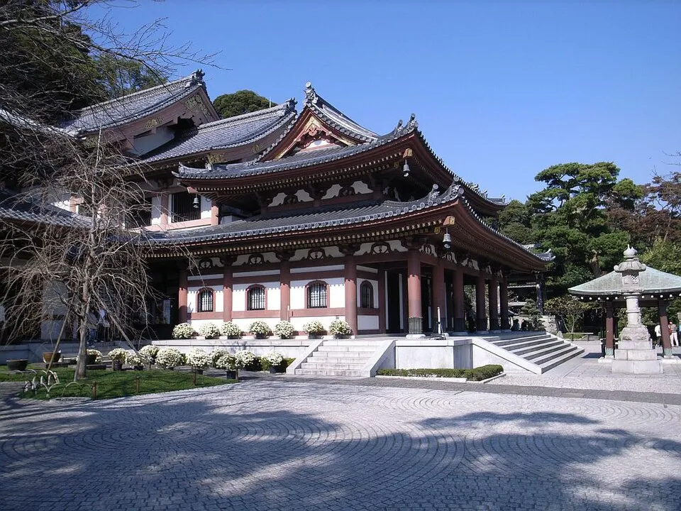
A hillside temple with gardens and coastal views in western Kamakura. Expect stairs on the upper grounds.
 Kanagawa
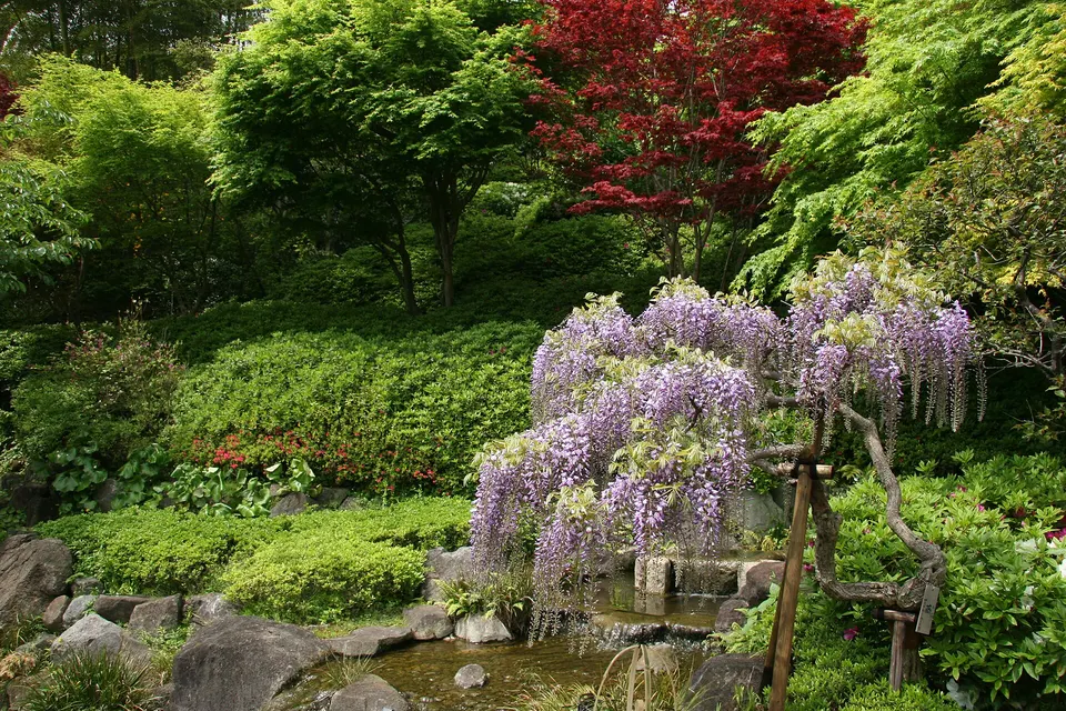
Hasedera Temple, Kamakura in Kanagawa, prepared with map position, photo, accessibility notes and a month-based planning window.
 Kanagawa
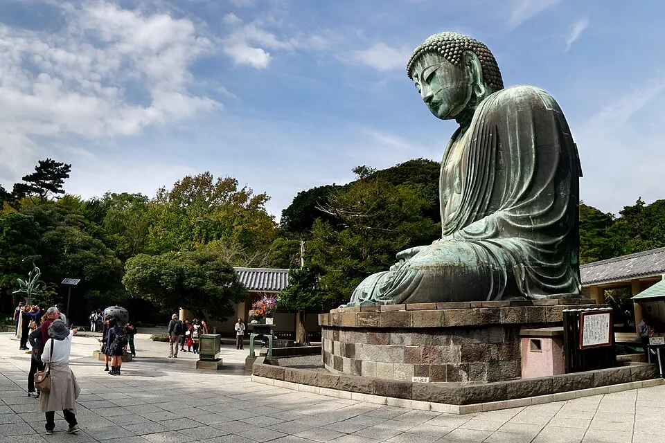
An outdoor bronze Buddha at Kotoku-in, a heritage stop in the Hase area of Kamakura.
Place information: Official tourism source · Reviewed 2026-10-08