9月下旬~10月・山岳の秋
天神平周辺の高い場所から色づき始め、谷へと下っていきます。
観光情報の出典 ↗群馬県と新潟県の境にそびえる雄大な山で、土合エリアからロープウェイとリフトで上がり、眺望、ハイキング、冬のスノースポーツが楽しめます。
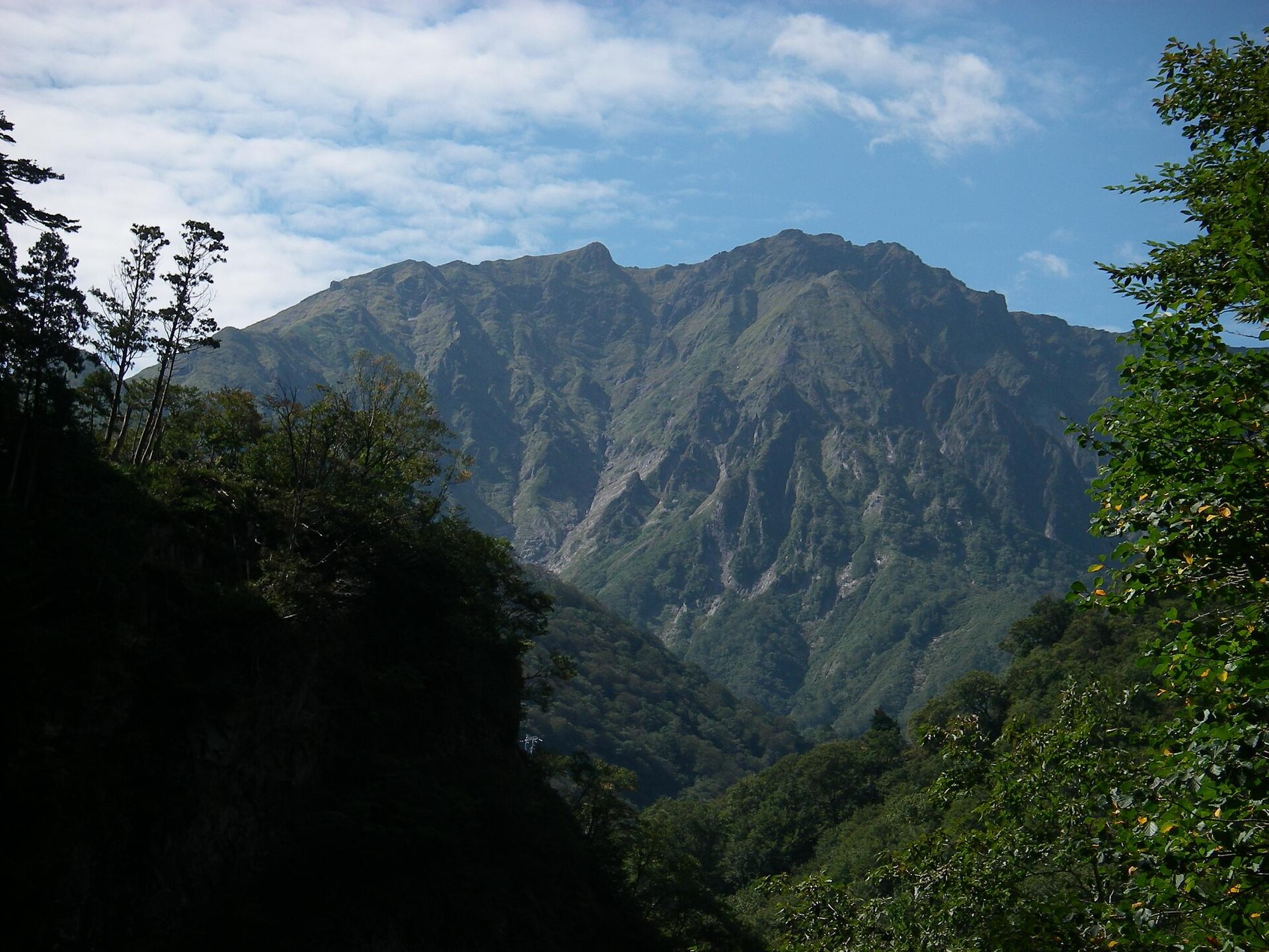
Recorded capture month: 10月 · Historical photo, not a live view
秋 · 10月
Weather for your date
Today shows live hourly weather. Future dates show the best available report.
8°C
Partly cloudy
💧 33% rain chance · wind 9 km/h
Hourly forecast
Forecast: Open-Meteo
持ち物チェック
この場所のヒントは未登録です。
駐車場
この場所の駐車場情報は未確認です。
周辺の駐車場を検索 ↗出発地を空欄にするとGoogle マップで現在地を選べます。ピンは目安です。入口や運行情報を確認してください。
毎月、違う日本に出会う
例年の見頃です。天候や開花日は毎年変わります。リアルタイム予報ではありません。
天神平周辺の高い場所から色づき始め、谷へと下っていきます。
観光情報の出典 ↗利用しやすさ
ベビーカー: 非推奨
授乳室: 未確認
騒音: 普通
子ども: Severe alpine weather and rapid changes are common; summit hiking requires experience and equipment.
ルール
火気: no fire
ドローン: banned
Within 30 km, closest first.
観光地情報: 公式観光情報 · 確認日 2026-09-28