Recommended months · Yoro Keikoku Valley
Month guide based on the place type and regional season; confirm current bloom, foliage, weather, event and operating conditions.
Tourism source ↗Yoro Keikoku Valley in Chiba, prepared with map position, photo, accessibility notes and a month-based planning window.
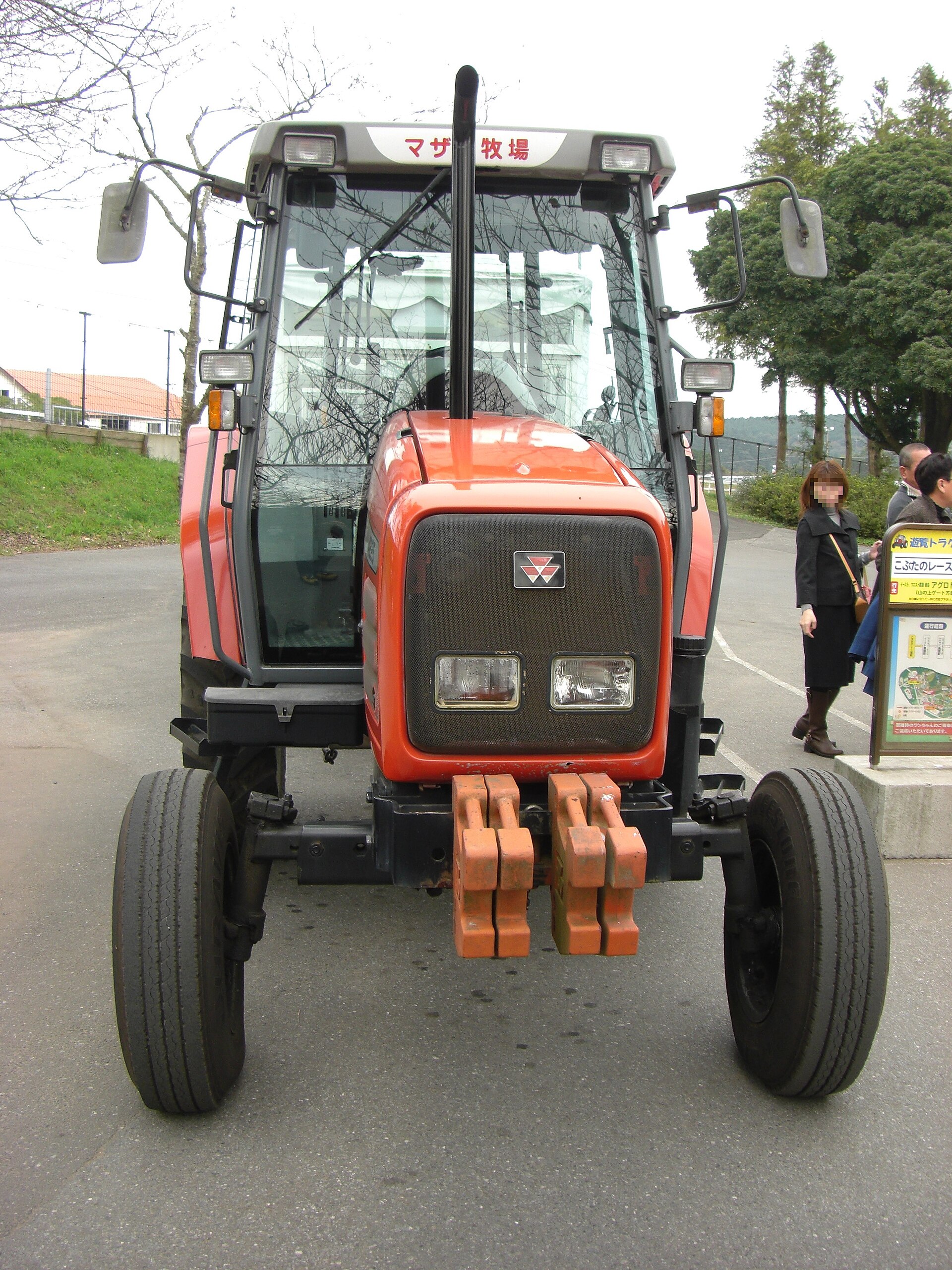
Recorded capture month: Apr · Historical photo, not a live view
AUTUMN · Oct
Weather for your date
Today shows live hourly weather. Future dates show the best available report.
18°C
Mainly clear
💧 0% rain chance · wind 5 km/h
Hourly forecast
Forecast: Open-Meteo
Packing checklist
No tips added for this spot yet.
Parking
Parking has not been verified for this place.
Search nearby parking ↗Leave the start blank to choose your current location in Google Maps. The pin is an approximate landmark; check the entrance and live services in Maps.
A DIFFERENT JAPAN, EVERY MONTH
Typical viewing windows. Weather and bloom dates vary each year; these are not live forecasts.
Month guide based on the place type and regional season; confirm current bloom, foliage, weather, event and operating conditions.
Tourism source ↗Suitability
Stroller: Not recommended
Nursing room: Not available
Noise level: quiet
Kids: Confirm current opening, terrain, weather and accessibility.
Rules
Fire: no fire
Water access: river
Drones: banned
Within 30 km, closest first.
Green Station Hikumo, Yoro Keikoku in Chiba, prepared with map position, photo, accessibility notes and a month-based planning window.
A green river valley in central Boso with waterfalls, woodland trails, hot springs and some of the Kanto region’s latest autumn foliage.
Lake Kameyama in Chiba, prepared with map position, photo, accessibility notes and a month-based planning window.
Kameyamako Auto Camping Ground in Chiba, prepared with map position, photo, accessibility notes and a month-based planning window.
Takatakiko Auto Camping Ground in Chiba, prepared with map position, photo, accessibility notes and a month-based planning window.
A woodland waterway in Kimitsu where sunlight can pass through a cave-like former river tunnel, creating a famous reflected shape under rare conditions.
REWILD MUSIC FES CAMP in Chiba, prepared with map position, photo, accessibility notes and a month-based planning window.
A major oceanfront aquarium in southern Chiba with marine habitats, educational exhibits and scheduled animal presentations.
Place information: Official tourism source · Reviewed 2026-09-28