Year-round · Reserved forest and cave journey
The valley is entered on a guided tour. Tropical rain and heat can affect trail conditions.
Tourism source ↗A subtropical valley in Nanjo formed from a collapsed limestone cave, explored through a reserved guided walk among giant banyans, caves and traces of ancient human history. Tours are conducted in Japanese with English, Chinese and Korean audio support available on the multilingual option.
Best time to visit: Nov–Mar – Cooler subtropical walking
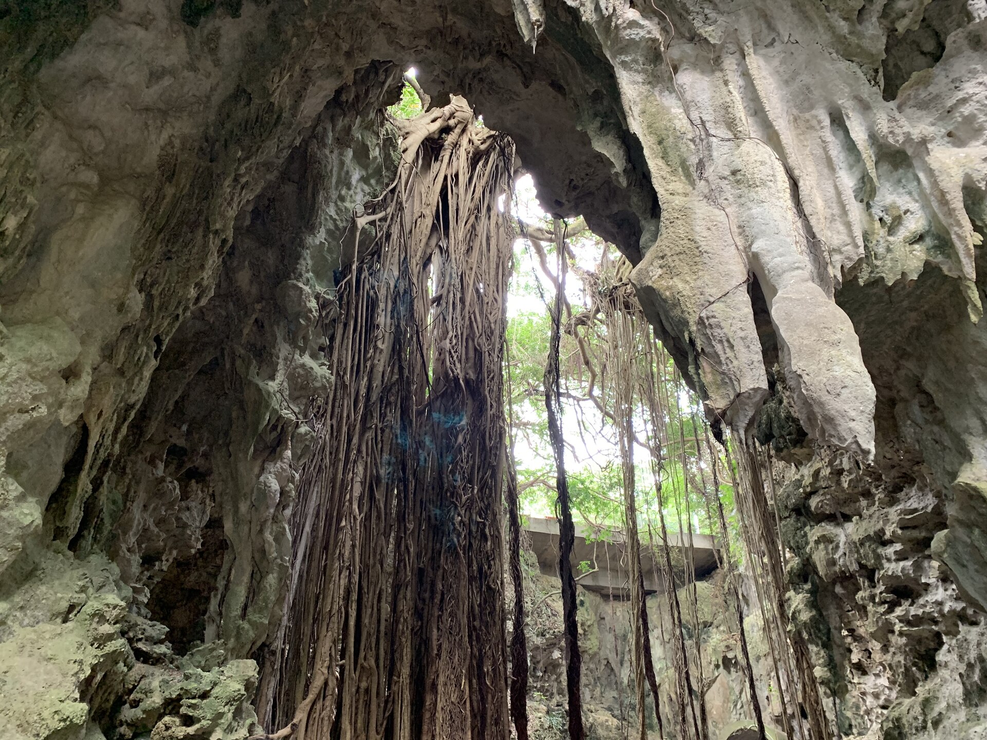
Capture month unconfirmed · Historical photo, not a live view
AUTUMN · Oct
Weather for your date
Today shows live hourly weather. Future dates show the best available report.
26°C
Clear sky
💧 0% rain chance · wind 6 km/h
Hourly forecast
Forecast: Open-Meteo
Packing checklist
No tips added for this spot yet.
Parking
Nearby public parking (OpenStreetMap)
NEARBY
· 3 min walk
Vehicle height not verified
Community-mapped nearby parking. Capacity, fees, hours and vehicle limits are not verified; check signs on arrival.
Parking source ↗Leave the start blank to choose your current location in Google Maps. The pin is an approximate landmark; check the entrance and live services in Maps.
A DIFFERENT JAPAN, EVERY MONTH
Typical viewing windows. Weather and bloom dates vary each year; these are not live forecasts.
The valley is entered on a guided tour. Tropical rain and heat can affect trail conditions.
Tourism source ↗Suitability
Stroller: Not recommended
Nursing room: Not verified
Noise level: quiet
Kids: Advance booking is required; the roughly 90-minute route includes natural ground, steps, humidity and limited exit points.
Rules
Fire: no fire
Drones: banned
Within 30 km, closest first.
Shuri Castle in Okinawa, with access, map location and seasonal planning data for international visitors.
Kokusai-dori Street in Okinawa, with access, map location and seasonal planning data for international visitors.
Okinawa Comprehensive Athletic Park Campsite in Okinawa, with access, map location and seasonal planning data for international visitors.
Place information: Official tourism source · Reviewed 2026-09-27