A historic valley plum grove along the Nabari River in Nara with thousands of blossoming plum trees dating back to the Edo period.
- Best time
- All year
- Admission
- ¥0
- Parking
- 📍 Navigate in Google Maps ↗月ヶ瀬梅林 梅の里観光駐車場 (Tsukigase Ume Village Lot)2 min walk· 100 spaces¥700 max/day🚗 All Nearby Parking & Real-Time Availability🔍 Find Nearby Parking on Map ↗
Before travel or when you arrive, check live space availability and confirmed rates via Google Maps.
- Getting there
- Plan the route from your start ↓ · Open in Google Maps ↗
- Official info
- Wikipedia ↗
Send this place via WhatsApp, X, Facebook, Line, or copy direct link.

Weather for your date
Today shows live hourly weather. Future dates show the best available report.
19°C
Overcast
💧 7% rain chance · wind 5 km/h
Hourly forecast
Forecast: Open-Meteo
Getting to Tsukigase Plum Grove
🚉Tsukigase guchi Station
Approx. 6.2 km from spot
🚌Local Bus or Taxi
Bus ~15-25 min (¥210-¥350) / Taxi ~¥1,500-¥3,000
💳Mobile Suica / IC Cards
IC cards accepted on most local buses
Directions to Tsukigase Plum Grove
Leave the start blank to choose your current location in Google Maps. The pin is an approximate landmark; check the entrance and live services in Maps.
When to see this place
Typical viewing windows. Weather and bloom dates vary each year; these are not live forecasts.
No month-specific guide yet for Oct. This does not mean the place is closed.
Suitability
Stroller: Accessible
Nursing room: Not available
Noise level: quiet
Rules
Water access: river
Drones: permit required
Nearby places
Within 30 km, closest first.
 Kyoto
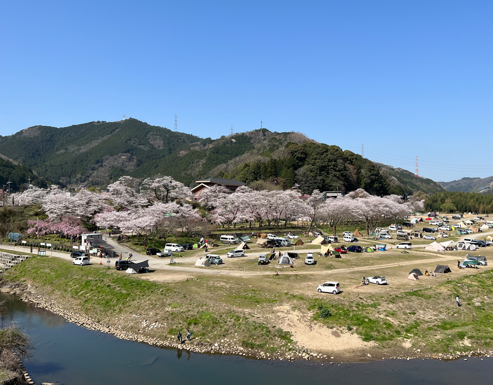
Kasagi Campsite
Kasagi Campsite in Kyoto, prepared with map position, photo, accessibility notes and a month-based planning window.
 Mie
Iga Ueno Castle
A castle tower in Iga city famous for having some of Japan's highest stone walls, near the ninja museum.
 Kyoto
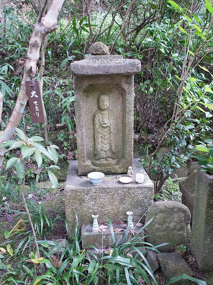
Iwafuneji (Gansenji) Temple
A quiet temple in southern Kyoto’s Kizugawa countryside, officially romanized Gansenji. Its three-storey pagoda, hydrangeas, stone images and wooded setting make it a seasonal alternative to central Kyoto’s busiest temples.
 Nara
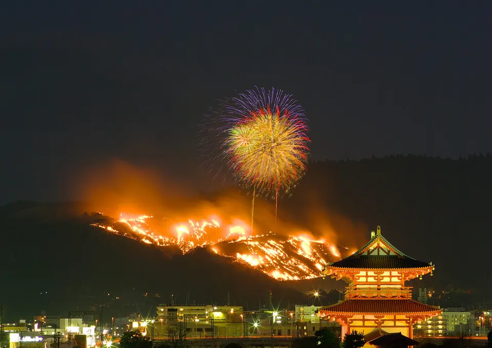
Mount Wakakusa
Mount Wakakusa in Nara, with access, map location and seasonal planning data for international visitors.
 Nara
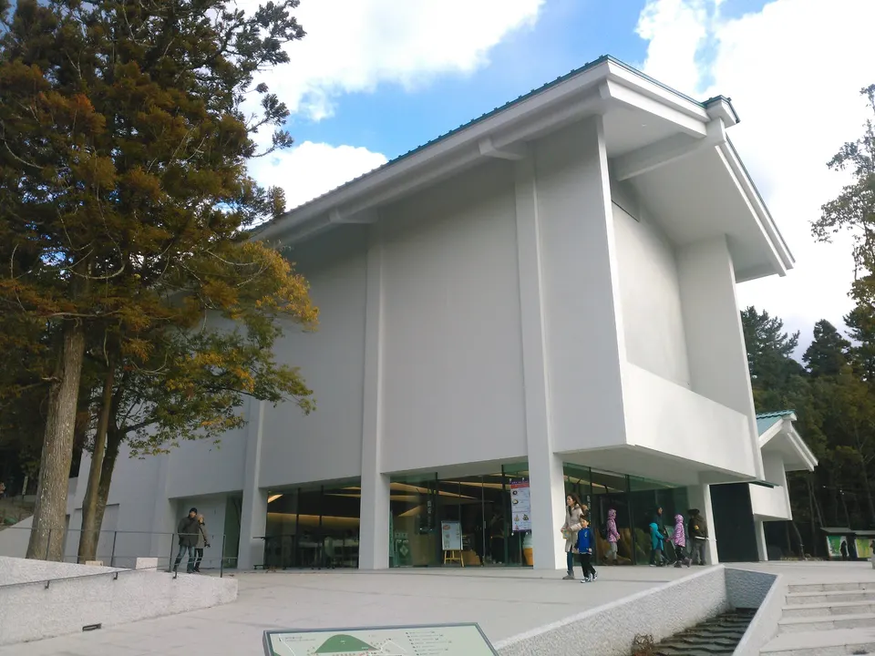
Kasuga Taisha Shrine
Kasuga Taisha Shrine in Nara, with access, map location and seasonal planning data for international visitors.
 Nara
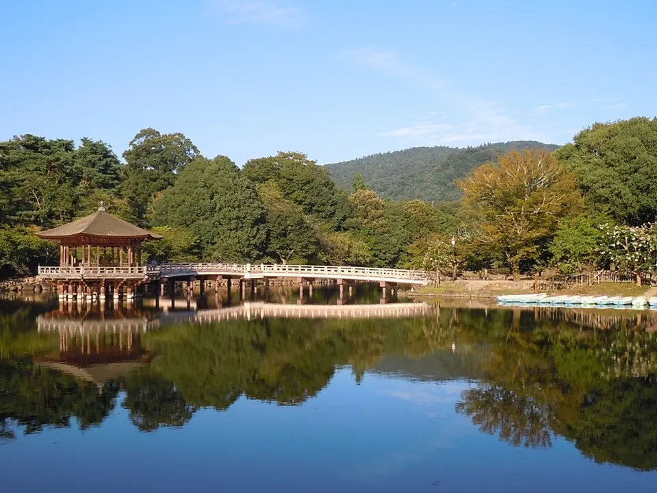
Nara Park
Deer roam among the green spaces and historic landmarks around Nara Park. The area connects major temples and shrines with broad walking routes.
 Nara
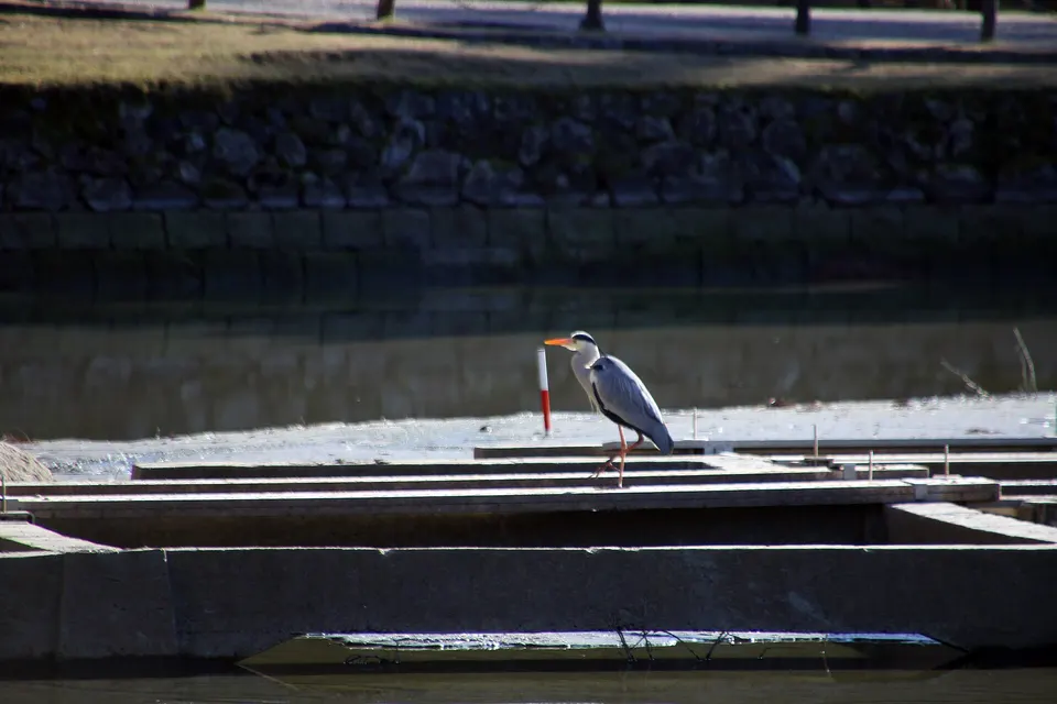
Todai-ji Temple
Todai-ji Temple in Nara, with access, map location and seasonal planning data for international visitors.
 Nara
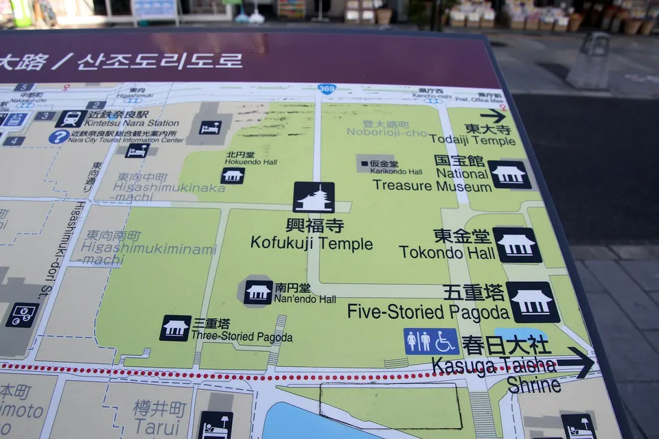
Kofuku-ji Temple
Kofuku-ji Temple in Nara, with access, map location and seasonal planning data for international visitors.
Sources, photo credits and verification
Place information: Official tourism source · Reviewed 2026-10-25
- 1. Het hart van de vallei te Tsukigase Tsukigase oku no tani (titel op object) Afbeeldingen van beroemde plekken in Japan (serietitel) Nihon meisho zue (serietitel op object), RP-P-1989-217 · Rijksmuseum · Source ↗ · CC0
- 2. NDL-DC 2542755-56 Kobayashi Kiyochika M3002 crd · Kobayashi Kiyochika · Source ↗ · Public domain
- 3. 月ヶ瀬郵便局 · あきはゆうぐれ · Source ↗ · CC BY-SA 4.0
- 4. Het hart van de vallei te Tsukigase-Rijksmuseum RP-P-1989-217 · Kobayashi Kiyochika; Kobayashi Kiyochika died 1915; Matsuki Heikichi · Source ↗ · Public domain
- 5. Tsukigase-Kisho-Manuscript-Book No.1-P05-P06 · Setsudo Saito. Printed by Shikada Seishichi. · Source ↗ · Public domain
- 6. Tsukigase-Kisho-Manuscript-Book No.1-P11-P12 · Setsudo Saito. Printed by Shikada Seishichi. · Source ↗ · Public domain
- 7. Inner Valley at Tsukigase LACMA M.71.100.95 · Kobayashi Kiyochika · Source ↗ · Public domain