Recommended months · Tanzawa Mountain Campsites
Month guide based on the place type and regional season; confirm current bloom, foliage, weather, event and operating conditions.
Tourism source ↗Tanzawa Mountain Campsites in Kanagawa, prepared with map position, photo, accessibility notes and a month-based planning window.
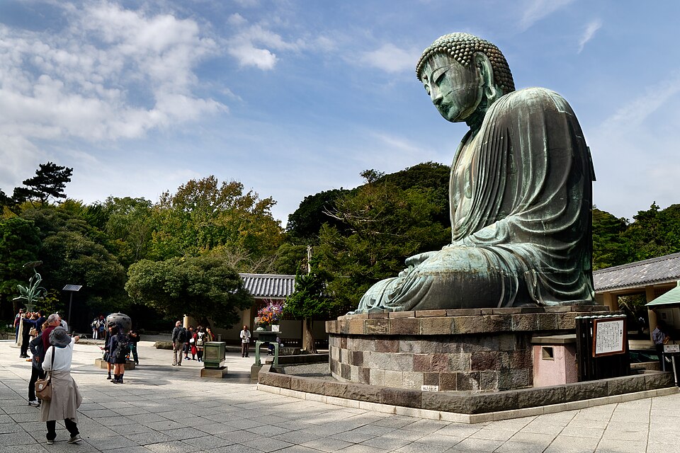
Capture month unconfirmed · Historical photo, not a live view
AUTUMN · Oct
Weather for your date
Today shows live hourly weather. Future dates show the best available report.
11°C
Partly cloudy
💧 0% rain chance · wind 9 km/h
Hourly forecast
Forecast: Open-Meteo
Packing checklist
No tips added for this spot yet.
Parking
Parking has not been verified for this place.
Search nearby parking ↗Leave the start blank to choose your current location in Google Maps. The pin is an approximate landmark; check the entrance and live services in Maps.
A DIFFERENT JAPAN, EVERY MONTH
Typical viewing windows. Weather and bloom dates vary each year; these are not live forecasts.
Month guide based on the place type and regional season; confirm current bloom, foliage, weather, event and operating conditions.
Tourism source ↗STAY A LITTLE LONGER
Suitability
Stroller: Not recommended
Nursing room: Not available
Noise level: moderate
Kids: Confirm reservation, vehicle, fire, water and quiet-hour rules.
Rules
Fire: stove only
Drones: banned
Within 30 km, closest first.
Mount Takao in Tokyo, prepared with map position, photo, accessibility notes and a month-based planning window.
Mt. Takao Base Camp Area in Tokyo, prepared with map position, photo, accessibility notes and a month-based planning window.
A roadside viewpoint above Lake Yamanaka looking toward Mount Fuji. Autumn grassland and winter dawn colors offer different views. The map pin is an approximate viewpoint, not a hiking-route instruction.
A large outlet mall with extensive shopping, dining and Mount Fuji views on clear days.
A popular but steep Hakone hike from Kintoki Shrine to a 1,212-metre summit with a close Mount Fuji panorama on clear days.
A quiet Soto Zen temple in Sengokuhara known for hundreds of expressive rakan stone statues placed through its wooded grounds.
A Sengokuhara museum devoted to Venetian glass, with historic works, contemporary pieces and a garden of sparkling glass installations.
A hillside French-style garden opened in 1914, with fountains, seasonal flowers, tea rooms and hands-on craft experiences.
Place information: Official tourism source · Reviewed 2026-09-28