A shrine in Kuwana famous for the Tado Festival each May, when young riders try to leap a steep earthen slope on horseback.
- Best time
- Not added yet
- Parking
- 📍 Navigate in Google Maps ↗Nearby parking1 min walkℹ Paid · Fee not confirmed (check signs on arrival)📍 Navigate in Google Maps ↗Nearby parking2 min walkℹ Paid · Fee not confirmed (check signs on arrival)🚗 All Nearby Parking & Real-Time Availability🔍 Find Nearby Parking on Map ↗
Before travel or when you arrive, check live space availability and confirmed rates via Google Maps.
- Getting there
- Plan the route from your start ↓ · Open in Google Maps ↗
- Official info
- tadotaisya.or.jp ↗
Send this place via WhatsApp, X, Facebook, Line, or copy direct link.

📷 Ohaguro / おはぐろ蜻蛉 at Japanese Wikipedia · CC BY-SA 3.0 · Source
Weather for your date
Today shows live hourly weather. Future dates show the best available report.
8°C
Clear sky
💧 2% rain chance · wind 12 km/h
Hourly forecast
Forecast: Open-Meteo
Getting to Tado Taisha Shrine
🚉Tado Station
Approx. 1.5 km from spot
🚶~19 min walk
Easy walking distance from station
💳Mobile Suica / IC Cards
Tap phone at ticket gates (No cash needed)
Directions to Tado Taisha Shrine
Leave the start blank to choose your current location in Google Maps. The pin is an approximate landmark; check the entrance and live services in Maps.
When to see this place
Typical viewing windows. Weather and bloom dates vary each year; these are not live forecasts.
No month-specific guide yet for Nov. This does not mean the place is closed.
Suitability
Stroller: Not verified
Nursing room: Not available
Noise level: quiet
Rules
Drones: banned
Nearby places
Within 30 km, closest first.
 Mie
Nabana no Sato Flower & Light Park
A world-renowned botanical oasis in Kuwana featuring Japan's largest floral greenhouse Begonia Garden and millions of seasonal blooms. From autumn through spring, it hosts one of Japan's most spectacular winter light illuminations, featuring an iconic 200-meter tunnel of light and massive animated LED installations.
 Shiga
Mount Gozaisho
A 1,212-metre granite peak in the Suzuka range, reached by the Gozaisho Ropeway, popular for autumn leaves and winter rime ice.
 Aichi
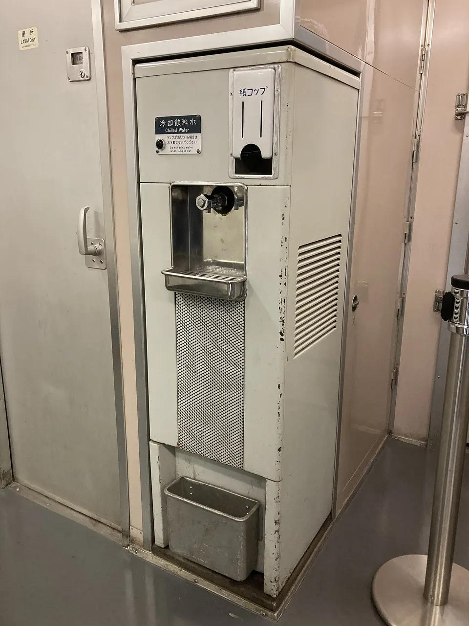
SCMAGLEV and Railway Park
SCMAGLEV and Railway Park in Aichi, prepared with map position, photo, accessibility notes and a month-based planning window.
 Aichi
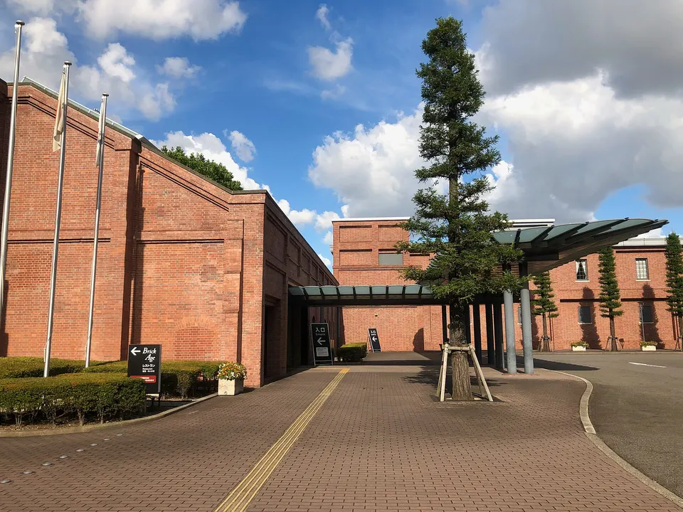
Toyota Commemorative Museum of Industry and Technology
Toyota Commemorative Museum of Industry and Technology in Aichi, prepared with map position, photo, accessibility notes and a month-based planning window.
 Mie
Tsubaki Grand Shrine
A forested shrine at the foot of the Suzuka mountains, one of two claiming to be the chief shrine of former Ise Province.
 Aichi
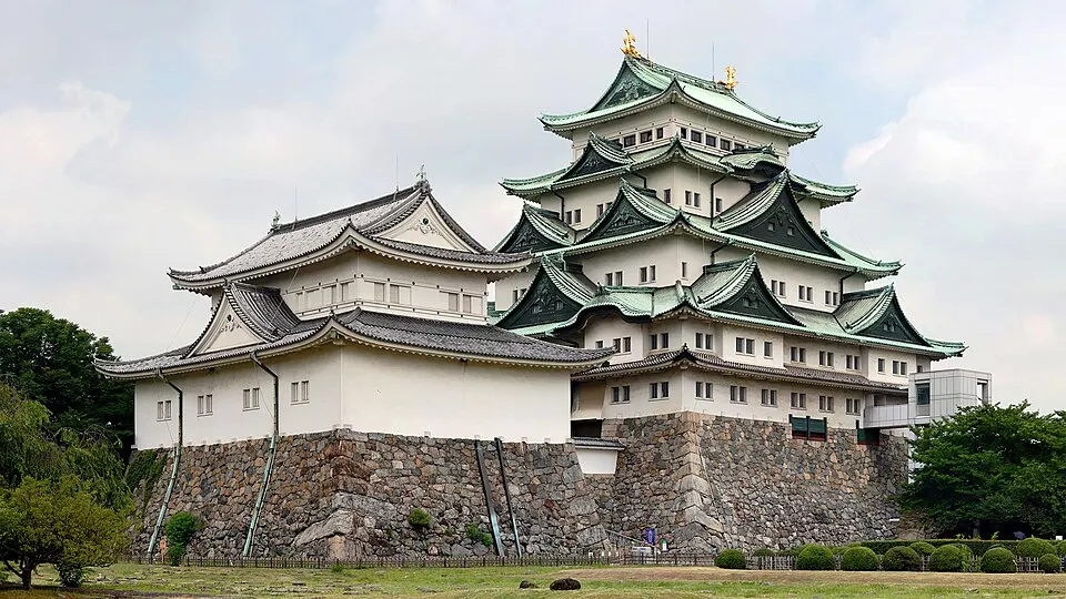
Nagoya Castle and Hommaru Palace
Explore the castle grounds and Hommaru Palace. The official site currently says the tower keep and some structures cannot be entered; check updates before travel.
 Aichi
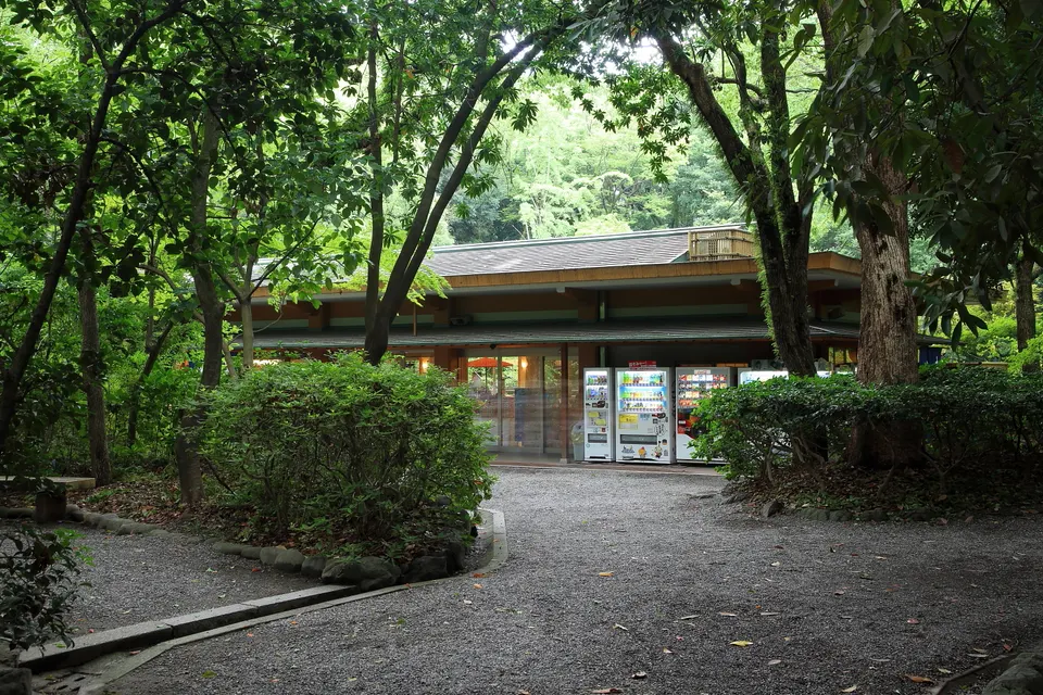
Atsuta Jingu Shrine
Atsuta Jingu Shrine in Aichi, prepared with map position, photo, accessibility notes and a month-based planning window.
 Aichi
Osu Kannon and Shopping Street
Osu Kannon and Shopping Street in Aichi, prepared with map position, photo, accessibility notes and a month-based planning window.
Sources, photo credits and verification
Place information: Official tourism source · Reviewed 2026-10-06
- 1. 多度大社本社 · Ohaguro / おはぐろ蜻蛉 at Japanese Wikipedia · Source ↗ · CC BY-SA 3.0
- 2. Tado Taisha · Yuya Tamai · Source ↗ · CC BY 2.0
- 3. Jinmesha of Tado Shrine in and Mount Tado in Kuwana, Mie prefecture, Japan. · Alpsdake · Source ↗ · CC BY-SA 4.0