SEASONAL☀️ Daytime
Recommended months · Shimizu Park, Noda
Month guide based on the place type and regional season; confirm current bloom, foliage, weather, event and operating conditions.
Shimizu Park, Noda in Chiba, prepared with map position, photo, accessibility notes and a month-based planning window.
Before travel or when you arrive, check live space availability and confirmed rates via Google Maps.
Send this place via WhatsApp, X, Facebook, Line, or copy direct link.
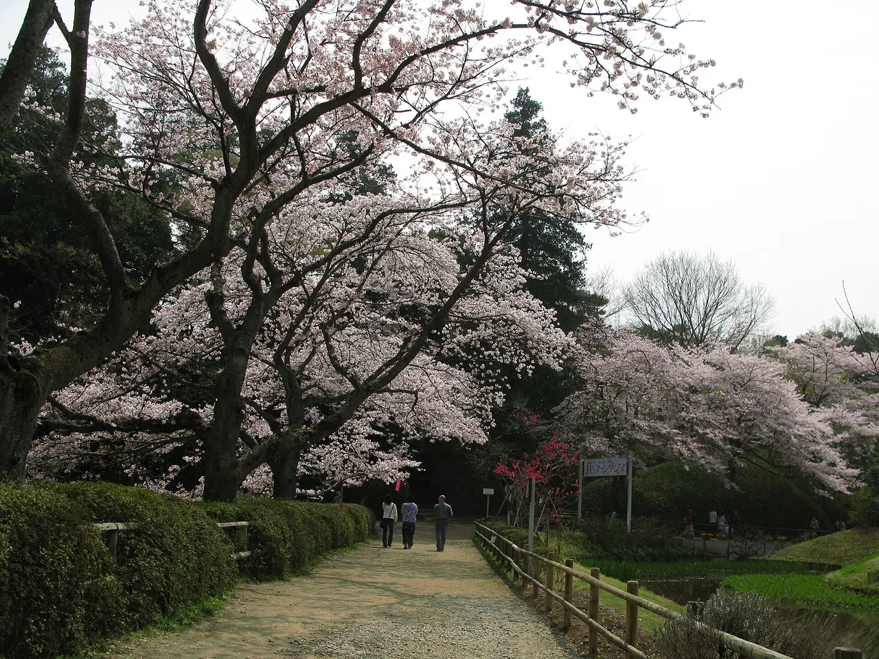
📷 京浜にけ at Japanese Wikipedia This photo was taken with Canon PowerShot G9 · CC BY-SA 3.0 · Source
Weather for your date
Today shows live hourly weather. Future dates show the best available report.
10°C
Clear sky
💧 0% rain chance · wind 4 km/h
Hourly forecast
Forecast: Open-Meteo
🚉Shimizu-Kōen Station
Approx. 0.8 km from spot
🚶~10 min walk
Easy walking distance from station
💳Mobile Suica / IC Cards
Tap phone at ticket gates (No cash needed)
Leave the start blank to choose your current location in Google Maps. The pin is an approximate landmark; check the entrance and live services in Maps.
Typical viewing windows. Weather and bloom dates vary each year; these are not live forecasts.
Month guide based on the place type and regional season; confirm current bloom, foliage, weather, event and operating conditions.
Suitability
Stroller: Accessible
Nursing room: Not available
Noise level: moderate
Kids: Confirm current opening, terrain, weather and accessibility.
Rules
Fire: no fire
Drones: banned
Within 30 km, closest first.
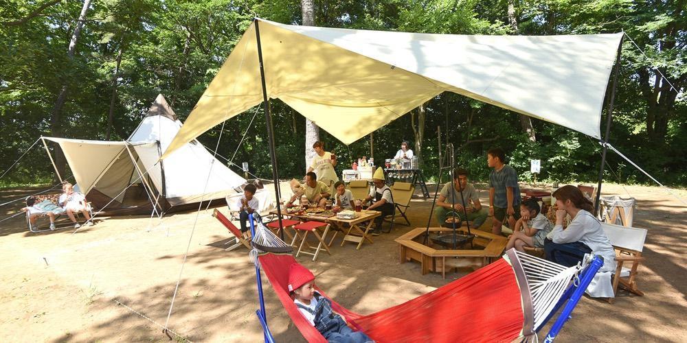 Chiba
Shimizu Park Campground in Chiba, prepared with map position, photo, accessibility notes and a month-based planning window.
 Chiba
Historic Kamakura-period Nichiren Buddhist temple founded in 1277 by Nichiro Shonin. Revered throughout the Kanto region as the 'Momiji Temple', its expansive temple grounds feature over 1,500 vivid red Japanese maples and a striking vermilion five-story pagoda.
 Tokyo
Tokyo's largest water-surrounded park, spanning 96 hectares along Koaidame reservoir. It is celebrated for its towering forest of 1,800 Metasequoia (Dawn Redwood) trees that turn magnificent reddish-gold in late autumn, evocative of European wetland woodlands.
 Saitama
A large park in Misato around a big pond, with cherry trees, lawns and a playground; across the river from Tokyo's Mizumoto Park.
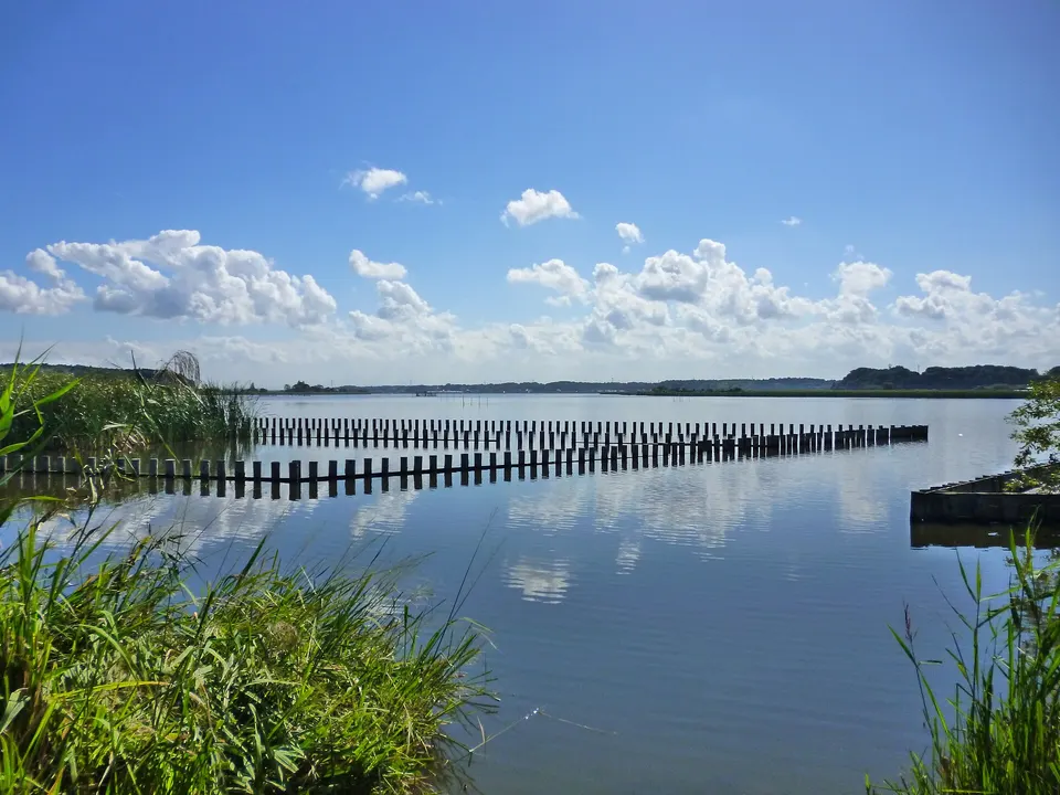 Chiba
Lake Tega in Chiba, prepared with map position, photo, accessibility notes and a month-based planning window.
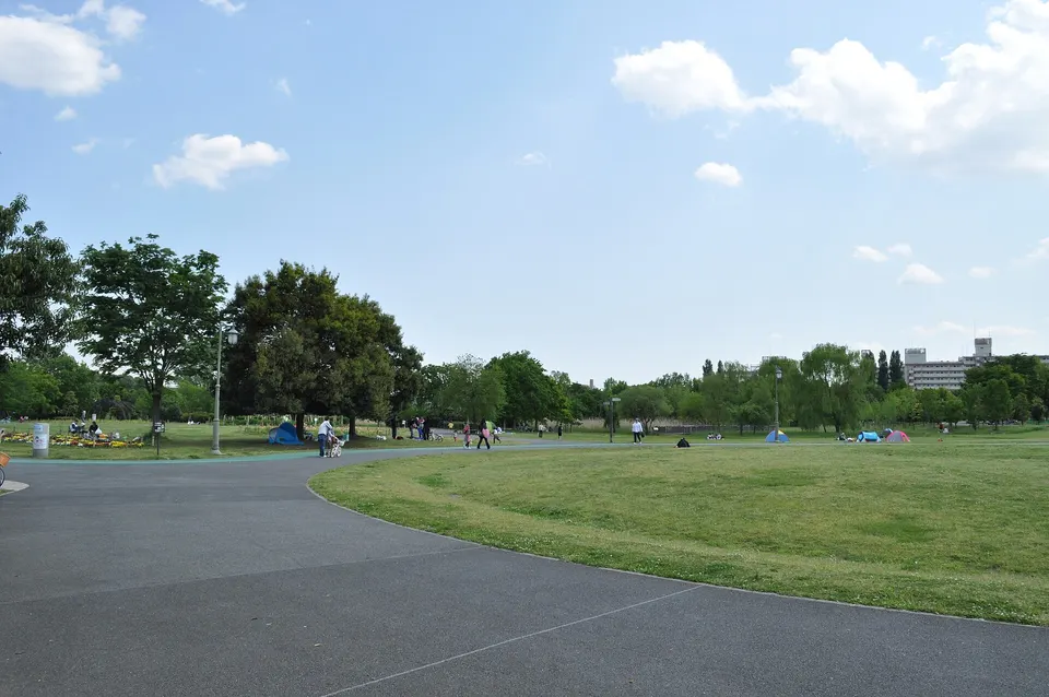 Saitama
November · Park autumn colour. Event dates, admission and lighting hours change by year; check the official source before travelling.
 Tokyo
Historic hill in northern Tokyo planted with 600 cherry trees by the 8th Tokugawa Shogun Yoshimune in 1720 as Tokyo's first public recreation park. Accessible via a charming mini-monorail (Asukakarugo), it features sweeping views, steam locomotives, and vibrant spring blossoms.
 Chiba
Officially recognized as a "Japan Night View Heritage" (日本夜景遺産), the 45th-floor observation room of I-Link Town rises 150 meters above ground directly connected to JR Ichikawa Station. The completely free 360-degree glass perimeter offers the undisputed best vantage point across the Edo River to the glittering Tokyo skyline, featuring Tokyo Skytree, Tokyo Tower, and the sunset silhouette of Mount Fuji directly on the western horizon.
Place information: Official tourism source · Reviewed 2026-09-28