Polished stones in many colours
Any month. Stay back from the water line: waves on this coast are strong.
Tourism source ↗A pebble beach about 22 km long on the Kumano coast, part of the Kumano Kodo World Heritage route. The shore is covered with smooth, round stones in black, grey, white and reddish tones polished by the Pacific. Waves are strong and swimming is not allowed; enjoy it from the shore.

Capture month unconfirmed · Historical photo, not a live view
AUTUMN · Oct
Weather for your date
Today shows live hourly weather. Future dates show the best available report.
24°C
Clear sky
💧 0% rain chance · wind 13 km/h
Hourly forecast
Forecast: Open-Meteo
Packing checklist
No tips added for this spot yet.
Parking
Michi-no-Eki Park Shichirimihama
NEARBY
SUV / high-roof friendly
The roadside station beside the beach has a car park; other access points along Route 42 vary.
Parking source ↗Leave the start blank to choose your current location in Google Maps. The pin is an approximate landmark; check the entrance and live services in Maps.
A DIFFERENT JAPAN, EVERY MONTH
Typical viewing windows. Weather and bloom dates vary each year; these are not live forecasts.
Any month. Stay back from the water line: waves on this coast are strong.
Tourism source ↗Suitability
Stroller: Not recommended
Nursing room: Not available
Noise level: quiet
Kids: Strong waves: keep children away from the water line.
Rules
Fire: no fire
Water access: ocean
Drones: permit required
Within 30 km, closest first.
 Wakayama
One of the three grand shrines of Kumano, a World Heritage site on the Kumano River in Shingu, with vermilion halls and a sacred nagi tree.
 Wakayama
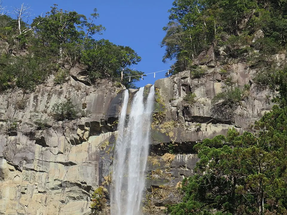
A dramatic waterfall in the sacred forest landscape of Nachi, near shrines and temples. Steps and spray can make surfaces slippery. Check local access after heavy rain.
 Wakayama
The head of Kumano's shrines and a World Heritage site; nearby stands Japan's largest torii gate at Oyunohara.
Place information: Official tourism source · Reviewed 2026-10-13