October–November · Clear channel panoramas
Cool, drier days often give comfortable walking and broad views across the Seto Inland Sea.
Tourism source ↗A hillside park above Onomichi with a long observation deck over the channel, port town and Seto Inland Sea islands. The ropeway provides the easiest ascent, while temple lanes and the Path of Literature create a scenic descent.
Best time to visit: Mar–Apr – Onomichi cherry blossoms · Oct–Nov – Clear channel panoramas
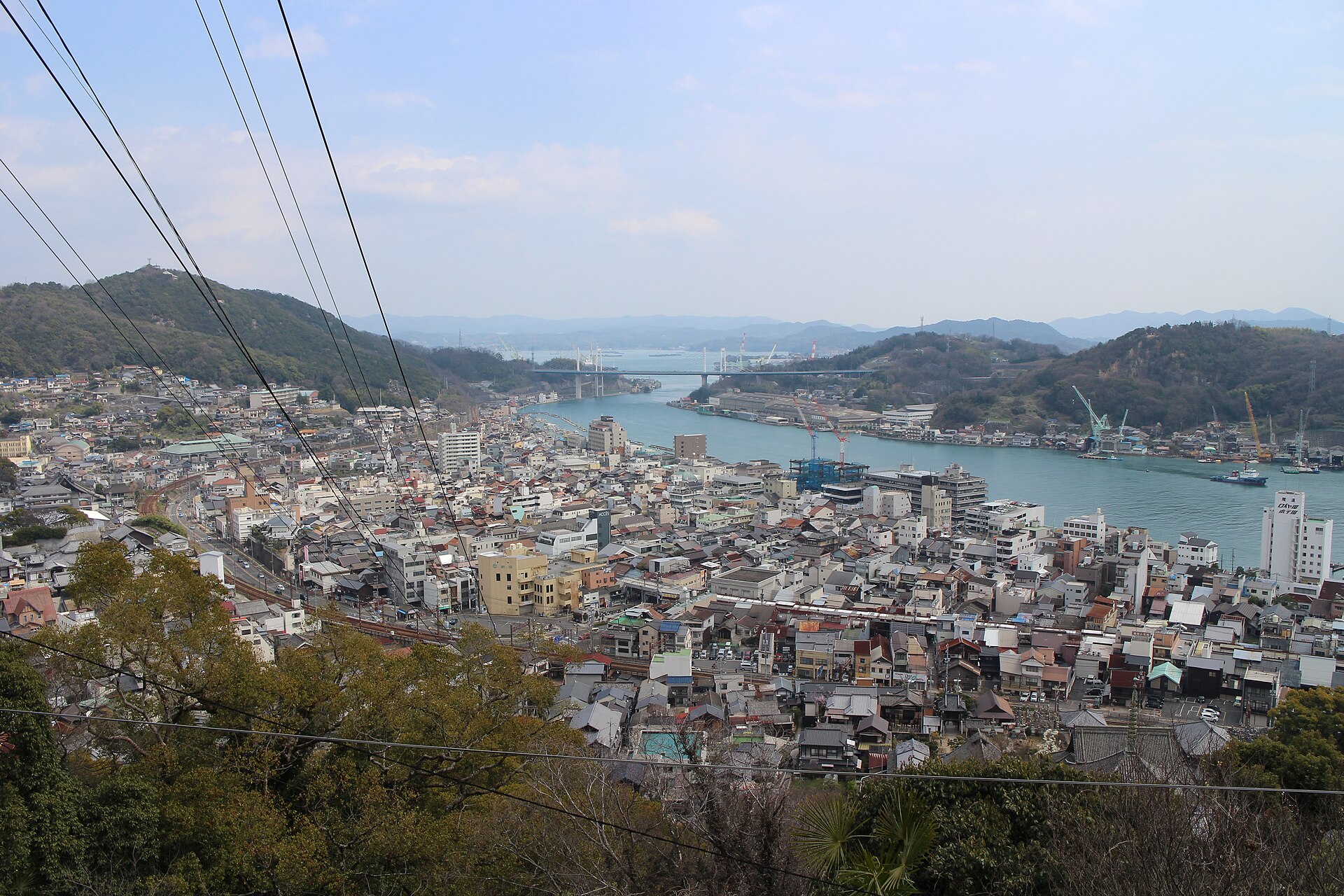
Recorded capture month: Apr · Historical photo, not a live view
AUTUMN · Oct
Weather for your date
Today shows live hourly weather. Future dates show the best available report.
17°C
Partly cloudy
💧 82% rain chance · wind 10 km/h
Hourly forecast
Forecast: Open-Meteo
Packing checklist
No tips added for this spot yet.
Parking
Nearby public parking (OpenStreetMap)
NEARBY
· 3 min walk
Vehicle height not verified
Community-mapped nearby parking. Capacity, fees, hours and vehicle limits are not verified; check signs on arrival.
Parking source ↗Leave the start blank to choose your current location in Google Maps. The pin is an approximate landmark; check the entrance and live services in Maps.
A DIFFERENT JAPAN, EVERY MONTH
Typical viewing windows. Weather and bloom dates vary each year; these are not live forecasts.
Cool, drier days often give comfortable walking and broad views across the Seto Inland Sea.
Tourism source ↗Suitability
Stroller: Accessible
Nursing room: Not verified
Noise level: lively
Kids: The summit deck is accessible, but hillside routes include steep stairs and narrow lanes; select the route carefully.
Rules
Fire: no fire
Water access: ocean
Drones: banned
Within 30 km, closest first.
The three-storey pagoda of Tenneiji creates one of Onomichi’s defining hillside views, framed by tiled roofs, the channel and distant bridge. It sits along the broader temple-and-alley walking network.
Sera Kogen Farm is a notable visitor destination in Hiroshima Prefecture. Check the official local source for current access, hours, closures and seasonal conditions.
Place information: Official tourism source · Reviewed 2026-09-27