YEAR_ROUND☀️ Daytime
Year-round visitor highlight
Opening hours, visibility and seasonal conditions vary; confirm the official notice before travel.
A long limestone cave with a public route, large formations and archaeological traces of prehistoric habitation.
Before travel or when you arrive, check live space availability and confirmed rates via Google Maps.
Send this place via WhatsApp, X, Facebook, Line, or copy direct link.

Weather for your date
Today shows live hourly weather. Future dates show the best available report.
8°C
Clear sky
💧 0% rain chance · wind 8 km/h
Hourly forecast
Forecast: Open-Meteo
🚉Tosa-Yamada Station
Approx. 5.7 km from spot
🚌Local Bus or Taxi
Bus ~15-25 min (¥210-¥350) / Taxi ~¥1,500-¥3,000
💳Mobile Suica / IC Cards
IC cards accepted on most local buses
Leave the start blank to choose your current location in Google Maps. The pin is an approximate landmark; check the entrance and live services in Maps.
Typical viewing windows. Weather and bloom dates vary each year; these are not live forecasts.
Opening hours, visibility and seasonal conditions vary; confirm the official notice before travel.
Suitability
Stroller: Not recommended
Nursing room: Not available
Noise level: moderate
Kids: Terrain, steps, seasonal roads, weather and opening rules vary; check the official source before travel.
Rules
Fire: no fire
Drones: banned
Within 30 km, closest first.
 Kochi
A museum in Kami city dedicated to Takashi Yanase, creator of the children's hero Anpanman, popular with families.
 Kochi
Temple 29 of the Shikoku pilgrimage in Nankoku, a provincial temple founded in the 8th century with a mossy garden.
 Kochi
Temple 32 of the Shikoku pilgrimage, on a rocky hill in Nankoku with views over the Pacific coast.
 Kochi
The chief shrine (ichinomiya) of former Tosa Province in northeastern Kochi city, with a main hall rebuilt by the Chosokabe clan in the 16th century.
 Kochi
Kochi's prefectural art museum, known for its large Marc Chagall collection and works by local artists.
 Kochi
Temple 31 of the Shikoku 88-temple pilgrimage on Mount Godai in Kochi, with a five-storey pagoda and a noted garden.
 Kochi
A timeless scenic crescent beach at the mouth of Urado Bay, celebrated in Japanese folk song since ancient times as the supreme moon-viewing spot in Tosa. Looking out from Cape Ryuzu over the roaring Pacific Ocean stands the monumental bronze statue of Bakumatsu revolutionary and hero Sakamoto Ryoma.
 Tokushima
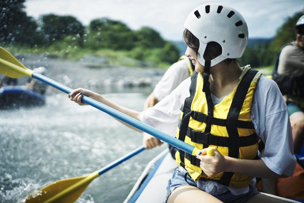
Yoshino River Rafting Area in Tokushima, with access, map location and seasonal planning data for international visitors.
Place information: Official tourism source · Reviewed 2026-10-04