
SUMMER_GREENAny time
Early Summer Refreshing Spray & Autumn Canopy
Powerful cascade framed by lush summer greenery and vibrant autumn foliage.
A historic and scenic destination in Kyoto, celebrated for its natural landscapes and cultural heritage.
Before travel or when you arrive, check live space availability and confirmed rates via Google Maps.
Send this place via WhatsApp, X, Facebook, Line, or copy direct link.
Weather for your date
Today shows live hourly weather. Future dates show the best available report.
16°C
Overcast
💧 2% rain chance · wind 8 km/h
Hourly forecast
Forecast: Open-Meteo
🚉Sonobe Station
Approx. 10.3 km from spot
🚌Local Bus or Taxi
Bus ~15-25 min (¥210-¥350) / Taxi ~¥1,500-¥3,000
💳Mobile Suica / IC Cards
IC cards accepted on most local buses
Leave the start blank to choose your current location in Google Maps. The pin is an approximate landmark; check the entrance and live services in Maps.
Typical viewing windows. Weather and bloom dates vary each year; these are not live forecasts.
Powerful cascade framed by lush summer greenery and vibrant autumn foliage.
Suitability
Stroller: Not recommended
Nursing room: Not available
Noise level: quiet
Rules
Water access: waterfall
Drones: permit required
Within 30 km, closest first.
 Osaka
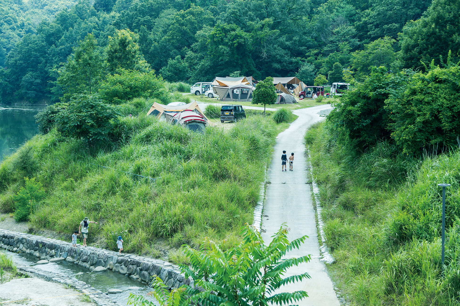
Snow Peak Minoh Campfield in Osaka, with access, map location and seasonal planning data for international visitors.
 Kyoto
Hiyoshi Dam Auto Campground in Kyoto, prepared with map position, photo, accessibility notes and a month-based planning window.
 Osaka
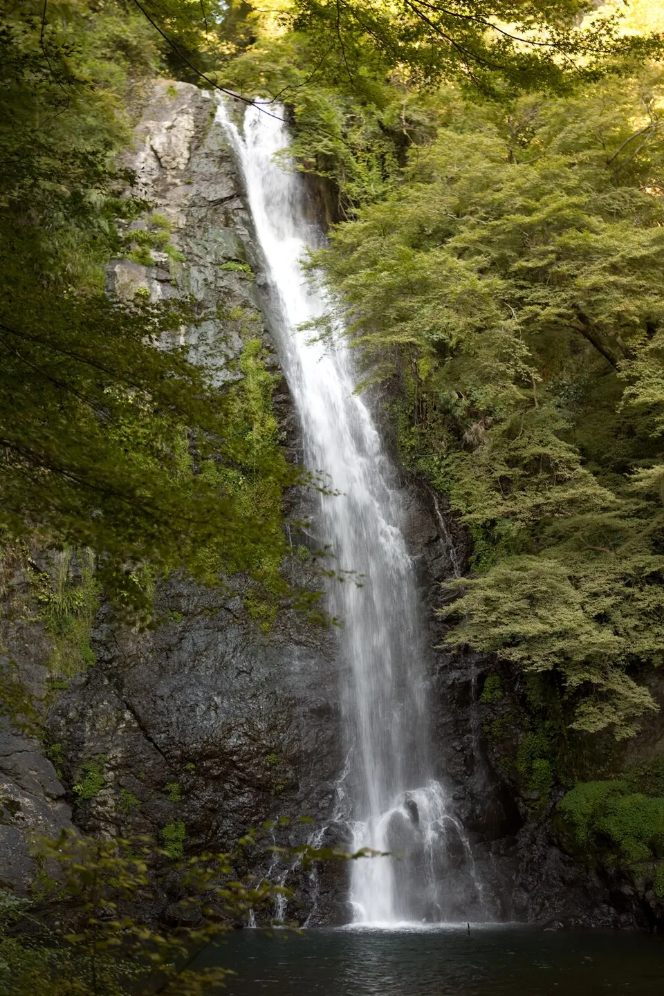
A waterfall reached through the wooded Minoh park area north of Osaka. Allow extra time for the walking approach and check trail notices.
 Kyoto
Located in Kyotamba, Shizushi Limestone Cave is the only natural limestone cavern in Kyoto Prefecture. The cave has a vertical depth of 52 meters across 4 distinct levels, accessible via an exhilarating near-vertical metal ladder descent surrounded by subterranean rock curtains.
 Kyoto
Perched on the eastern slopes of Mount Ogura in northern Arashiyama, Jojakko-ji is celebrated as one of Kyoto’s most atmospheric temple walks. Over 200 fiery Japanese maples form a dense canopy over thick green velvet moss beds and stone lantern staircases, crowned by a graceful 1620 two-story Tahoto Pagoda offering views across the Kyoto basin.
 Kyoto
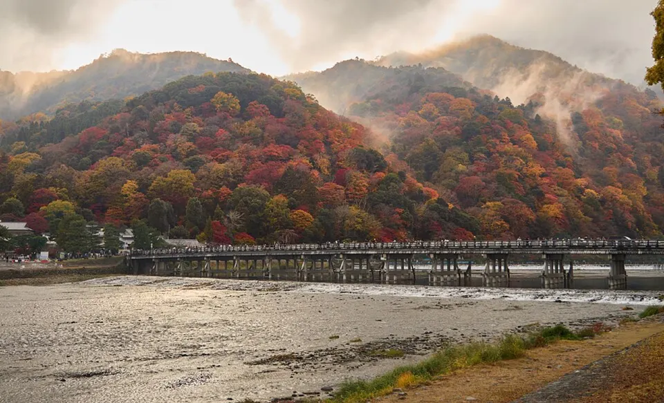
Tall bamboo lines the walking route in the Sagano and Arashiyama area of western Kyoto. Combine the grove with nearby temple gardens and the riverside district.
 Kyoto
Arashiyama Monkey Park Iwatayama in Kyoto, prepared with map position, photo, accessibility notes and a month-based planning window.
 Osaka
A vast park on the former Expo 1970 site with the Tower of the Sun, museums, seasonal flower fields and broad lawns.
Place information: Official tourism source · Reviewed 2026-10-26