A northern island built around the 1,721-metre Rishiri mountain, with a ring road, fishing communities, coastal wetlands and alpine plants. The official island guide describes sharp month-by-month changes in flowers, seafood, autumn colour, snow and ferry reliability.
- Best time
- Sep–Oct – Early northern autumn · Jun–Aug – Flowers, seafood and outdoor season · Dec–Feb – Remote island winter
- Parking
- No data yet · Find parking nearby ↗
- Getting there
- Plan the route from your start ↓ · Open in Google Maps ↗
- Official info
- rishiri-plus.jp ↗
Send this place via WhatsApp, X, Facebook, Line, or copy direct link.
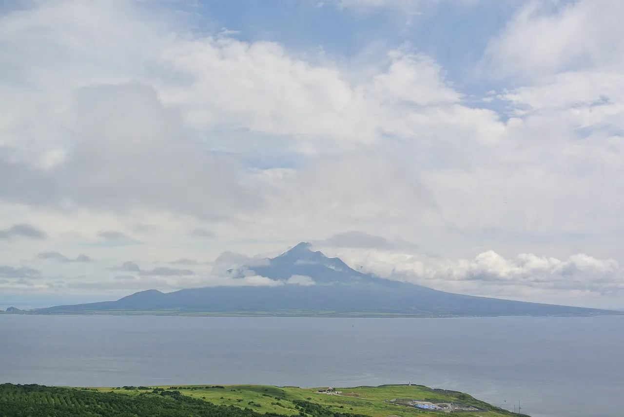
Aug · 📷 Suicasmo · CC BY-SA 4.0 · Source
Weather for your date
Today shows live hourly weather. Future dates show the best available report.
-11°C
Heavy snow showers
💧 97% rain chance · wind 17 km/h
Hourly forecast
Forecast: Open-Meteo
Getting to Rishiri Island
Directions to Rishiri Island
Leave the start blank to choose your current location in Google Maps. The pin is an approximate landmark; check the entrance and live services in Maps.
When to see this place
Typical viewing windows. Weather and bloom dates vary each year; these are not live forecasts.
No month-specific guide yet for Nov. This does not mean the place is closed.
Suitability
Stroller: Not recommended
Nursing room: Not verified
Noise level: quiet
Kids: Mountain routes are serious hikes, coastal weather changes quickly and transport depends on ferries or flights.
Rules
Fire: no fire
Water access: ocean
Drones: banned
Sources, photo credits and verification
Place information: Official tourism source · Reviewed 2026-09-27
- 1. Rishiri Island summer coast and mountain landscape · Suicasmo · Source ↗ · CC BY-SA 4.0
- 2. Rishiri Island(利尻島),北海道遠別町で撮影 · Searobin · Source ↗ · CC BY-SA 3.0
- 3. Location of Rishiri island (利尻島, rishiritō) in Soya Subprefecture, Hokkaido, Japan · Arthena · Source ↗ · CC BY-SA 3.0