Often called the Maritime Alps of the Sea of Japan, featuring dramatic sea caves, stone pillars, and jagged rock formations.
- Best time
- All year
- Admission
- ¥0
- Parking
- 📍 Navigate in Google Maps ↗青海島 静ヶ浦駐車場 (Omijima Shizugaura Lot)2 min walk· 100 spaces¥500 max/day🚗 All Nearby Parking & Real-Time Availability🔍 Find Nearby Parking on Map ↗
Before travel or when you arrive, check live space availability and confirmed rates via Google Maps.
- Getting there
- Plan the route from your start ↓ · Open in Google Maps ↗
- Official info
- Wikipedia ↗
Send this place via WhatsApp, X, Facebook, Line, or copy direct link.

📷 Mamusi Taka · CC BY-SA 3.0 · Source
Weather for your date
Today shows live hourly weather. Future dates show the best available report.
21°C
Light drizzle
💧 100% rain chance · wind 22 km/h
Hourly forecast
Forecast: Open-Meteo
Getting to Omijima Island
🚉Senzaki Station
Approx. 5 km from spot
🚌Local Bus or Taxi
Bus ~15-25 min (¥210-¥350) / Taxi ~¥1,500-¥3,000
💳Mobile Suica / IC Cards
IC cards accepted on most local buses
Directions to Omijima Island
Leave the start blank to choose your current location in Google Maps. The pin is an approximate landmark; check the entrance and live services in Maps.
When to see this place
Typical viewing windows. Weather and bloom dates vary each year; these are not live forecasts.
No month-specific guide yet for Oct. This does not mean the place is closed.
Suitability
Stroller: Not recommended
Nursing room: Not available
Noise level: quiet
Rules
Water access: sea
Drones: permit required
Nearby places
Within 30 km, closest first.
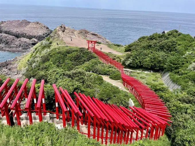 Yamaguchi
Motonosumi Shrine
A dramatic line of 123 red torii gates descends along cliffs above the Sea of Japan near Nagato. The remote coastal location combines shrine scenery with the Ryugu wave-spray formation, but access is strongly affected by current repairs and traffic controls.
 Yamaguchi
Beppu Benten Pond
A spring pond in Mine (not Beppu in Oita) whose limestone-filtered water glows cobalt blue. It is one of Japan’s 100 best waters, and people fill bottles from the spring beside the small shrine.
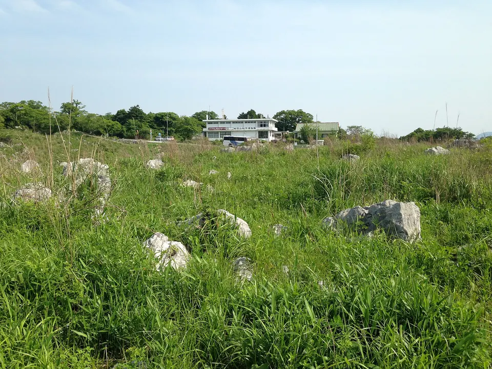 Yamaguchi
Akiyoshidai Plateau
Akiyoshidai Plateau is a notable visitor destination in Yamaguchi Prefecture. Check the official local source for current access, hours, closures and seasonal conditions.
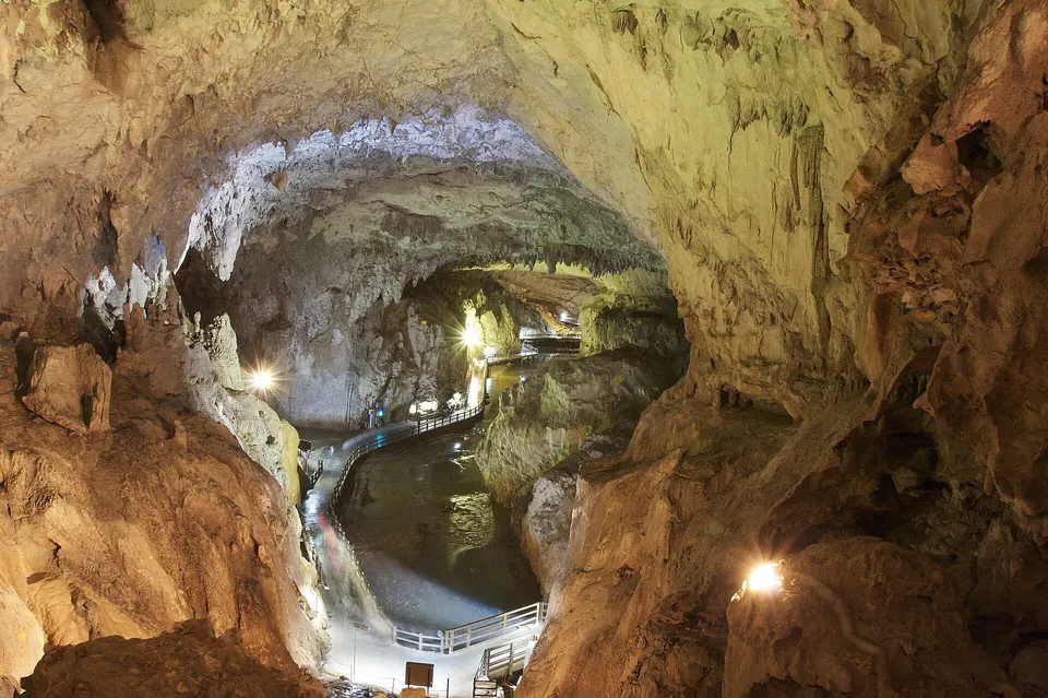 Yamaguchi
Akiyoshido Cave
Akiyoshido Cave is a notable visitor destination in Yamaguchi Prefecture. Check the official local source for current access, hours, closures and seasonal conditions.
Sources, photo credits and verification
Place information: Official tourism source · Reviewed 2026-10-25
- 1. 青島 - panoramio (2) · Mamusi Taka · Source ↗ · CC BY-SA 3.0
- 2. Nagato 20201212124831 (50853784352) · inunami · Source ↗ · CC BY 2.0
- 3. Nagato 20201212131205 (50853782867) · inunami · Source ↗ · CC BY 2.0
- 4. Nagato 20201212132620 (50853782137) · inunami · Source ↗ · CC BY 2.0
- 5. Nagato 20201212132924 (50852967283) · inunami · Source ↗ · CC BY 2.0
- 6. Nagato 20201212133146 (50853780357) · inunami · Source ↗ · CC BY 2.0
- 7. Nagato 20201212133607 (50853688146) · inunami · Source ↗ · CC BY 2.0
- 8. Nagato 20201212134003 (50853779337) · inunami · Source ↗ · CC BY 2.0
- 9. Nagato 20201212142725 (50852963878) · inunami · Source ↗ · CC BY 2.0
- 10. Nagato 20201212142833 (50853776942) · inunami · Source ↗ · CC BY 2.0