AUTUMN☀️ Daytime
Best seasonal window · Mount Yoshino
Use this month range as a planning guide and confirm live weather, bloom, foliage, event or operating conditions.
Mount Yoshino in Nara, with access, map location and seasonal planning data for international visitors.
Before travel or when you arrive, check live space availability and confirmed rates via Google Maps.
Send this place via WhatsApp, X, Facebook, Line, or copy direct link.
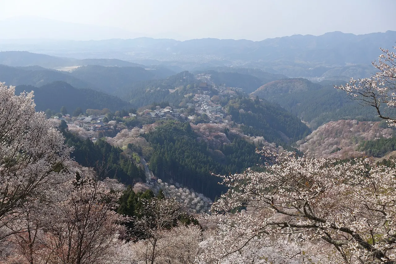
📷 Luka Peternel · CC BY-SA 4.0 · Source
Weather for your date
Today shows live hourly weather. Future dates show the best available report.
6°C
Clear sky
💧 0% rain chance · wind 11 km/h
Hourly forecast
Forecast: Open-Meteo
🚉Yoshino Station
Approx. 2.2 km from spot
🚌Local Bus or Taxi
Bus ~15-25 min (¥210-¥350) / Taxi ~¥1,500-¥3,000
💳Mobile Suica / IC Cards
IC cards accepted on most local buses
Leave the start blank to choose your current location in Google Maps. The pin is an approximate landmark; check the entrance and live services in Maps.
Typical viewing windows. Weather and bloom dates vary each year; these are not live forecasts.
Use this month range as a planning guide and confirm live weather, bloom, foliage, event or operating conditions.
Suitability
Stroller: Not recommended
Nursing room: Not available
Noise level: quiet
Kids: Check terrain, weather, opening and accessibility before visiting.
Rules
Fire: no fire
Drones: banned
Within 30 km, closest first.
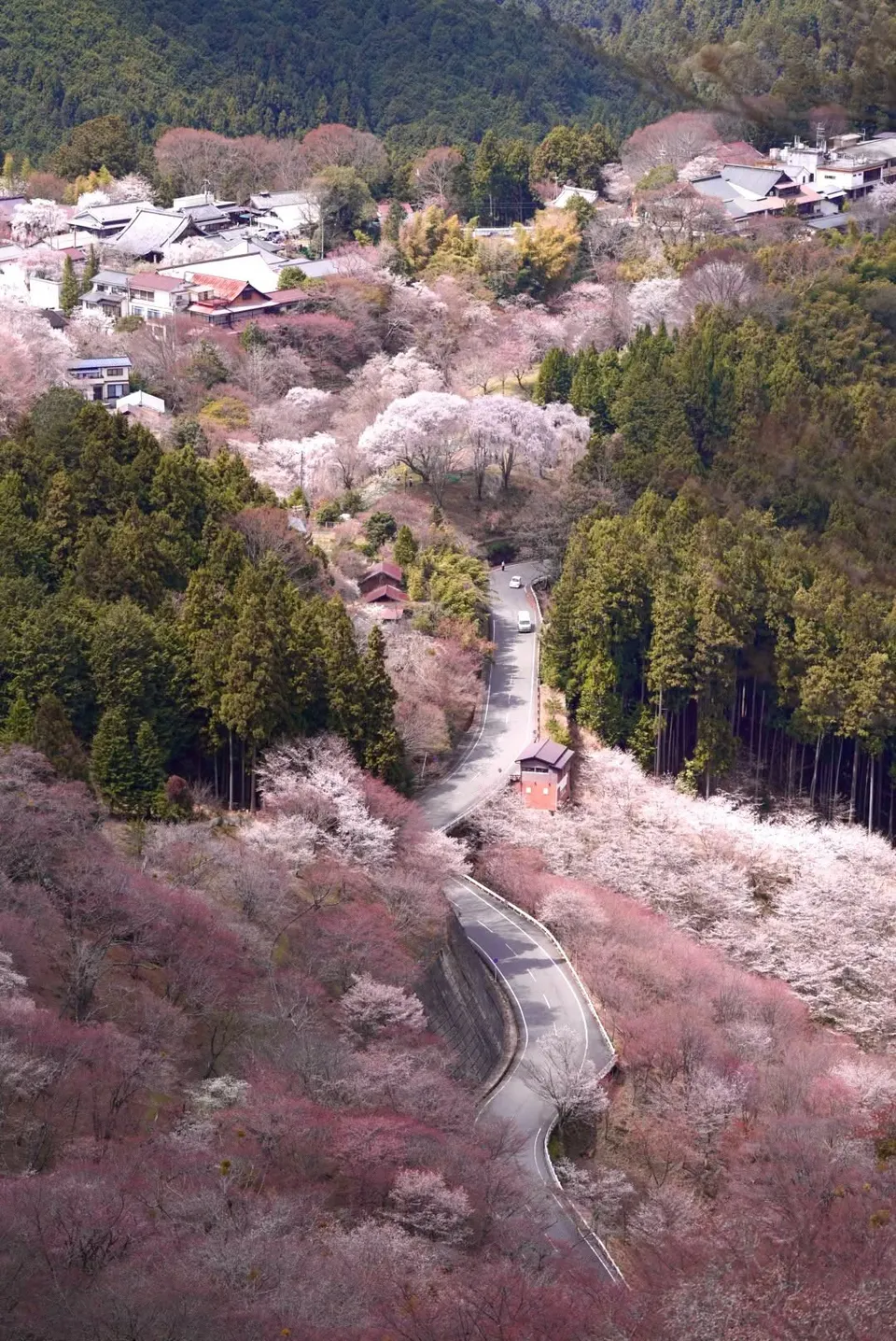 Nara
A sacred mountain settlement and one of Japan’s defining cherry-blossom landscapes, where around 30,000 trees across different elevations turn the slopes pink in stages. Temples, shrines and mountain paths require more time than a single viewpoint.
 Nara
Tenkawa and Dorogawa Campgrounds in Nara, with access, map location and seasonal planning data for international visitors.
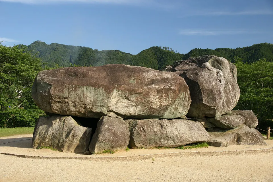 Nara
Asuka Village in Nara, with access, map location and seasonal planning data for international visitors.
 Nara
A mountain gorge in Tenkawa with emerald pools, waterfalls, suspension bridges and a trail toward Dorogawa Onsen. Summer brings cool riverside scenery, while late October and November colour the forest above the clear water.
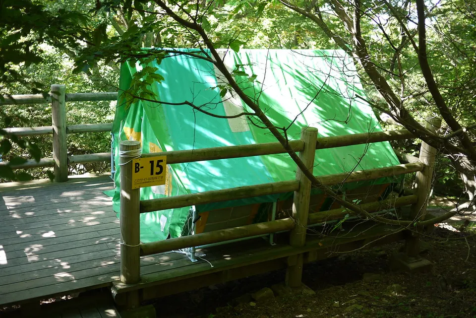 Osaka
Mount Kongo Campsite in Osaka, with access, map location and seasonal planning data for international visitors.
 Mie
A 1,432-metre peak in the Daiko mountains on the Mie–Nara border, popular with experienced hikers.
 Mie
A 1,420-metre peak in the Daiko mountains of Matsusaka, known for beech forests and autumn colour.
 Wakayama
The most sacred spiritual sanctuary in Shingon Esoteric Buddhism and the focal point of the UNESCO Mount Koya World Heritage site. A moss-covered stone path lined with towering thousand-year-old Japanese cedars leads past over 200,000 memorial monuments and samurai tombs to the Torodo Lantern Hall and Kobo Daishi's eternal mausoleum.
Place information: Official tourism source · Reviewed 2026-09-28