Mount Moiwa Ropeway in Hokkaido, with access, map location and seasonal planning data for international visitors.
- Best time
- All year
- Parking
- 📍 Navigate in Google Maps ↗Nearby parking2 min walkℹ Paid · Fee not confirmed (check signs on arrival)📍 Navigate in Google Maps ↗末日聖徒イエス・キリスト教会 会員専用駐車場3 min walkℹ Paid · Fee not confirmed (check signs on arrival)🚗 All Nearby Parking & Real-Time Availability🔍 Find Nearby Parking on Map ↗
Before travel or when you arrive, check live space availability and confirmed rates via Google Maps.
- Getting there
- Plan the route from your start ↓ · Open in Google Maps ↗
- Official info
- sapporo.travel ↗
Send this place via WhatsApp, X, Facebook, Line, or copy direct link.
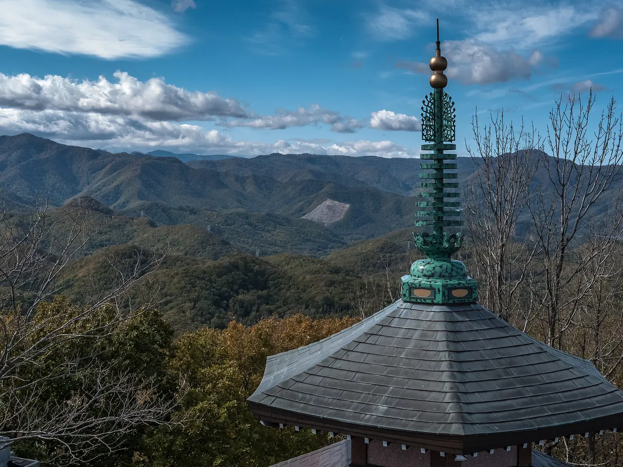
📷 Ermell · CC BY-SA 4.0 · Source
Weather for your date
Today shows live hourly weather. Future dates show the best available report.
1°C
Drizzle
💧 89% rain chance · wind 10 km/h
Hourly forecast
Forecast: Open-Meteo
Getting to Mount Moiwa Ropeway
🚉Nishisen-Jūichi-Jō Station
Approx. 1.5 km from spot
🚶~19 min walk
Easy walking distance from station
💳Mobile Suica / IC Cards
Tap phone at ticket gates (No cash needed)
Directions to Mount Moiwa Ropeway
Leave the start blank to choose your current location in Google Maps. The pin is an approximate landmark; check the entrance and live services in Maps.
When to see this place
Typical viewing windows. Weather and bloom dates vary each year; these are not live forecasts.
No month-specific guide yet for Nov. This does not mean the place is closed.
Suitability
Stroller: Not recommended
Nursing room: Not available
Noise level: quiet
Kids: Check terrain, weather, opening and accessibility before visiting.
Rules
Fire: no fire
Drones: banned
Nearby places
Within 30 km, closest first.
 Hokkaido
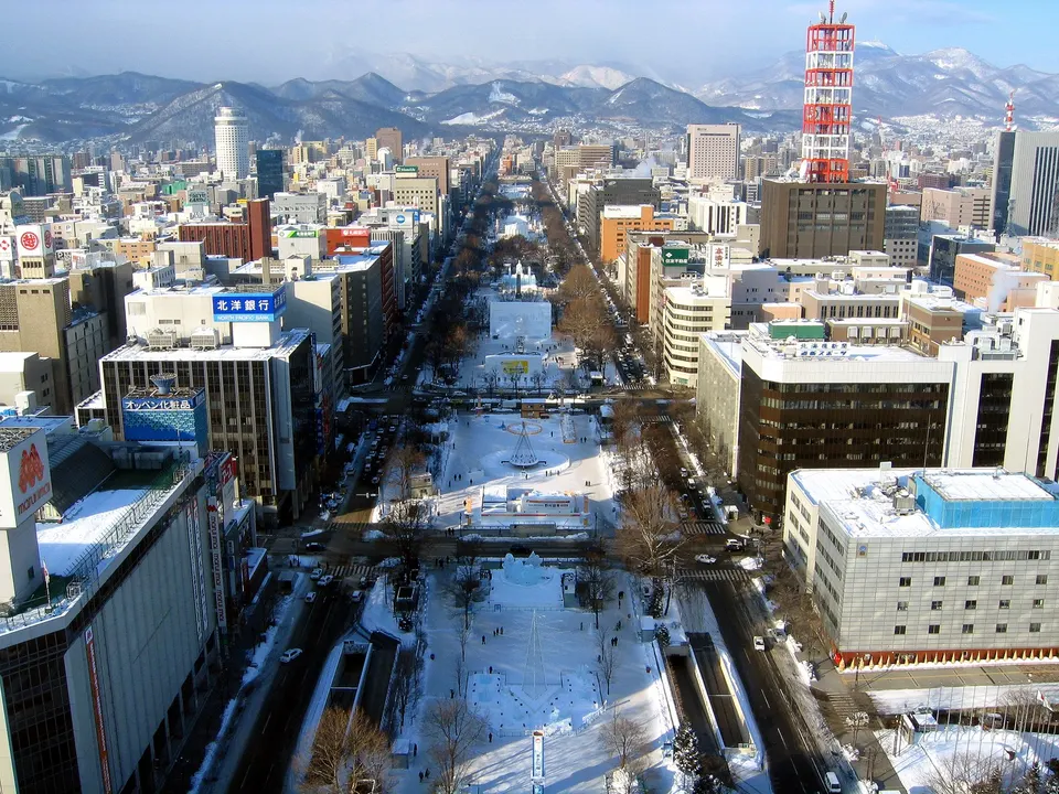
Odori Park
Odori Park forms a green corridor through central Sapporo. Its lawns, planting and event spaces provide a place to pause between city sights.
 Hokkaido
Sapporo White Illumination and Odori Winter Park
Japan’s oldest and most prestigious winter illumination event, founded in 1981. Over 750,000 sparkling LED lights transform snow-draped Odori Park into glowing light tunnels, crystal trees, and illuminated domes beneath the towering Sapporo TV Tower.
 Hokkaido
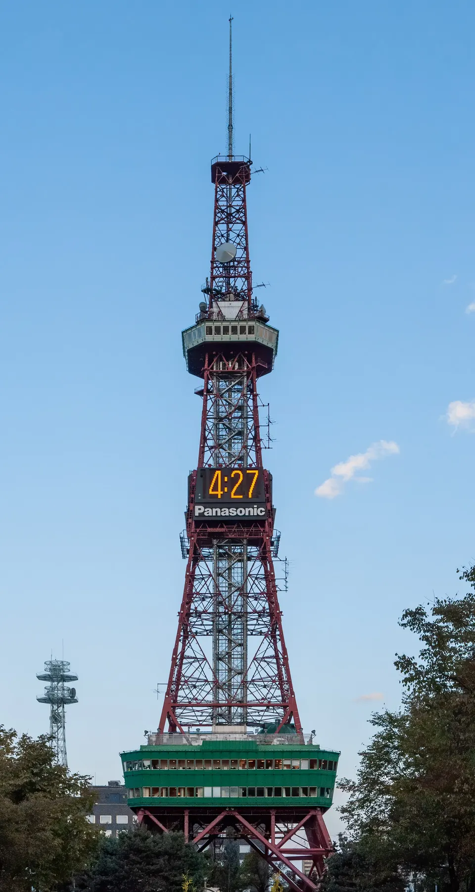
Sapporo TV Tower
Sapporo TV Tower in Hokkaido, with access, map location and seasonal planning data for international visitors.
 Hokkaido
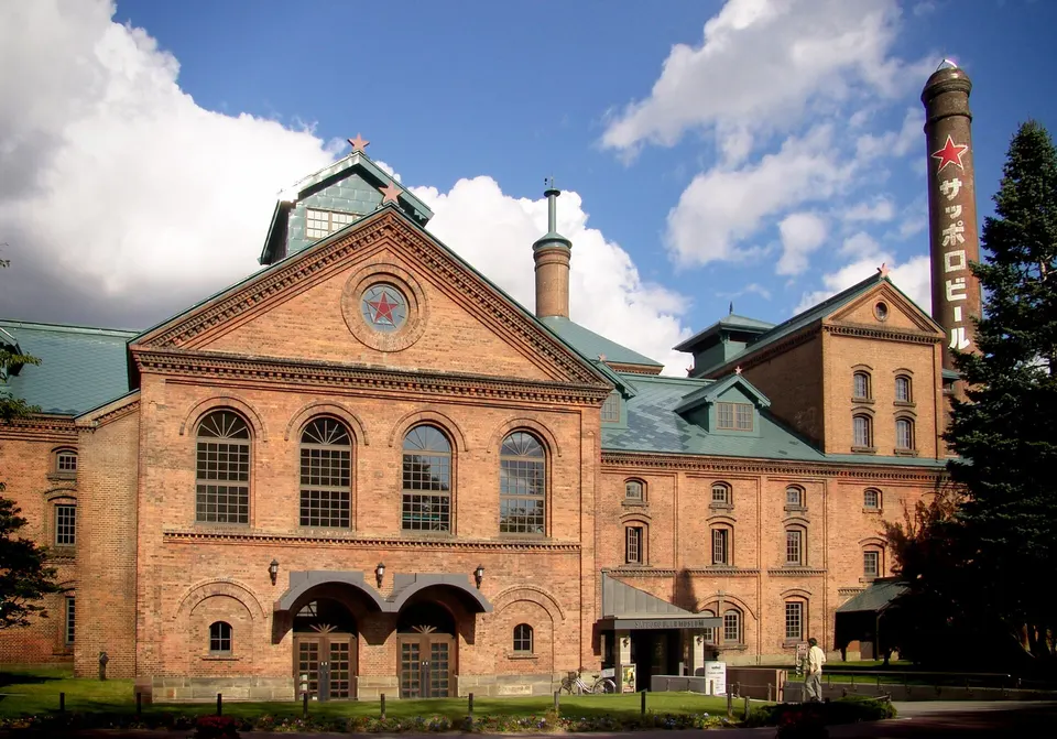
Sapporo Beer Museum
Sapporo Beer Museum in Hokkaido, with access, map location and seasonal planning data for international visitors.
 Hokkaido
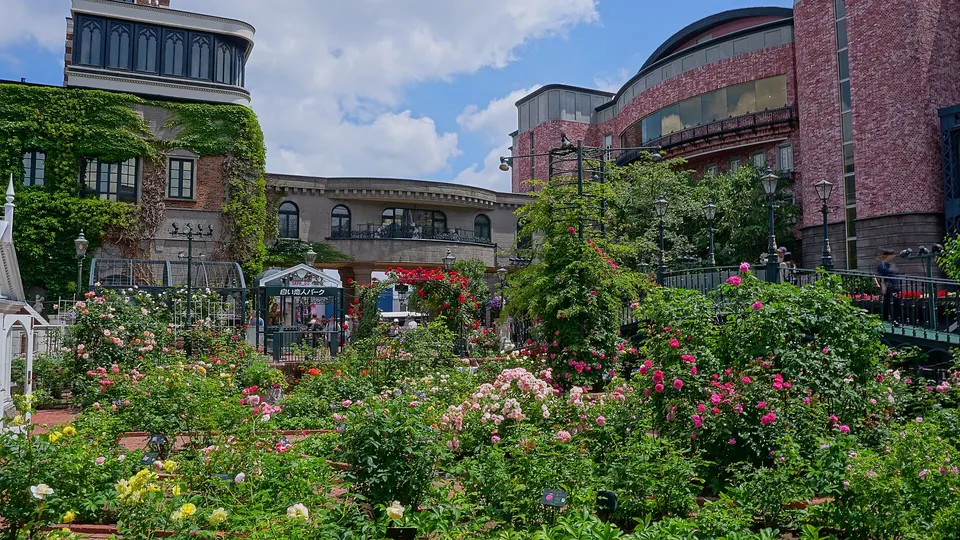
Shiroi Koibito Park
Shiroi Koibito Park in Hokkaido, with access, map location and seasonal planning data for international visitors.
 Hokkaido
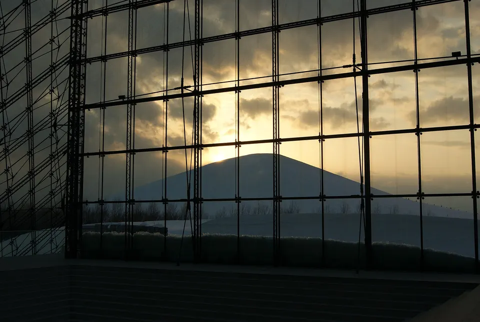
Moerenuma Park
Isamu Noguchi designed this large Sapporo park as one unified landscape sculpture. The Glass Pyramid, Mt Moere, geometric play structures, Sea Fountain and broad lawns change character through cherry blossom, summer water programs, autumn colour and deep winter snow.
 Hokkaido
Historic Village of Hokkaido
Historic Village of Hokkaido in Hokkaido, with access, map location and seasonal planning data for international visitors.
 Hokkaido
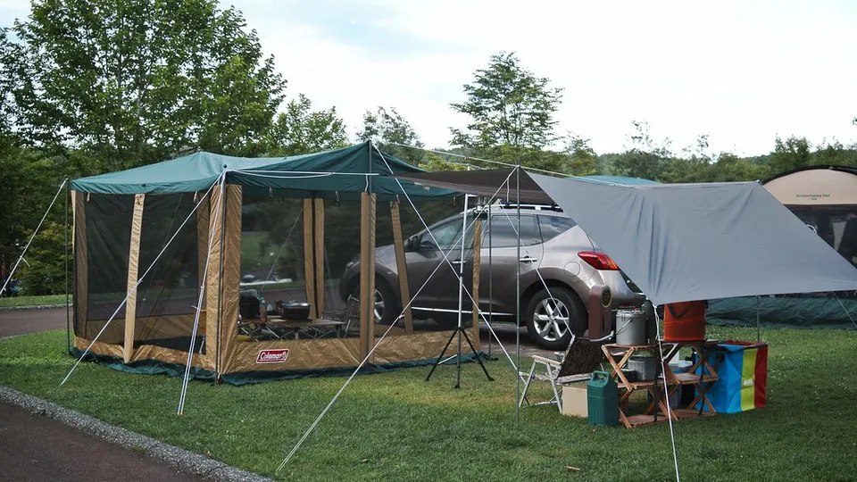
Takino Suzuran Hillside National Park Campground
Takino Suzuran Hillside National Park Campground in Hokkaido, with access, map location and seasonal planning data for international visitors.
Sources, photo credits and verification
Place information: Official tourism source · Reviewed 2026-09-28
- 1. Mount Moiwa Ropeway · Ermell · Source ↗ · CC BY-SA 4.0
- 2. A cabin of the Sapporo Mt. Moiwa Ropeway, in use since 2011 · Route275 · Source ↗ · CC BY-SA 4.0