The Nanbu clan's castle site in central Morioka, with impressive granite stone walls and cherry and autumn colour.
- Best time
- Not added yet
- Parking
- 📍 Navigate in Google Maps ↗Nearby parking2 min walkℹ Paid · Fee not confirmed (check signs on arrival)📍 Navigate in Google Maps ↗Nearby parking2 min walkℹ Paid · Fee not confirmed (check signs on arrival)🚗 All Nearby Parking & Real-Time Availability🔍 Find Nearby Parking on Map ↗
Before travel or when you arrive, check live space availability and confirmed rates via Google Maps.
- Getting there
- Plan the route from your start ↓ · Open in Google Maps ↗
- Official info
- moriokashiroato.jp ↗
Send this place via WhatsApp, X, Facebook, Line, or copy direct link.

📷 663highland · CC BY-SA 4.0 · Source
Weather for your date
Today shows live hourly weather. Future dates show the best available report.
5°C
Clear sky
💧 0% rain chance · wind 14 km/h
Hourly forecast
Forecast: Open-Meteo
Getting to Morioka Castle Ruins Park
🚉Morioka Station
Approx. 1.2 km from spot
🚶~15 min walk
Easy walking distance from station
💳Mobile Suica / IC Cards
Tap phone at ticket gates (No cash needed)
Directions to Morioka Castle Ruins Park
Leave the start blank to choose your current location in Google Maps. The pin is an approximate landmark; check the entrance and live services in Maps.
When to see this place
Typical viewing windows. Weather and bloom dates vary each year; these are not live forecasts.
No month-specific guide yet for Nov. This does not mean the place is closed.
Suitability
Stroller: Not verified
Nursing room: Not available
Noise level: moderate
Rules
Drones: banned
Nearby places
Within 30 km, closest first.
 Iwate
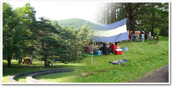
Iwate Museum of Art
Iwate's prefectural art museum in Morioka, with works by Iwate-born artists such as Tetsugoro Yorozu and Shunsuke Matsumoto.
 Iwate
Ainosawa Camping Ground
A year-round campground below Mount Iwate and beside Ainosawa pasture in Takizawa. It has parking, water, flush toilets and a cooking area, but no electricity; winter facility restrictions apply.
 Iwate
Yakehashiri Lava Flow
A 4-kilometre field of black lava from a 1732 eruption of Mount Iwate, with a nature trail through the rock.
 Iwate
Mount Iwate
Iwate's highest mountain at 2,038 metres, a volcano often called 'Nanbu Fuji' that dominates the view from Morioka.
 Iwate
Genbudo (Shizukuishi)
A cliff of columnar basalt along the Kakkonda River in Shizukuishi, a designated natural monument.
 Iwate
Kakkonda Gorge
A roughly ten-kilometre gorge upstream on the Kakkonda River in Shizukuishi, surrounded by extensive beech forest. Fresh green foliage and autumn colour contrast with columnar-jointed cliffs and clear water.
 Iwate
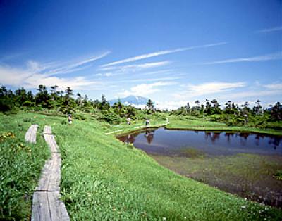
Senshogahara Wetland
A remote high moor in Towada-Hachimantai National Park with hundreds of small ponds and alpine plants. Reaching it requires a serious mountain hike of roughly three hours each way from common trailheads.
 Akita
Mount Nyuto (Eboshidake)
A 1,478-metre peak on the Akita–Iwate border above Nyuto Onsen, with alpine meadows on the summit ridge.
Sources, photo credits and verification
Place information: Official tourism source · Reviewed 2026-10-06
- 1. Morioka_Castle in Morioka, Iwate prefecture, Japan · 663highland · Source ↗ · CC BY-SA 4.0
- 2. Layout of Morioka Castle · Fraxinus2 · Source ↗ · CC BY-SA 4.0
- 3. Morioka_Castle in Morioka , Iwate prefecture , Japan · 663highland · Source ↗ · CC BY-SA 4.0