Late October–mid-November · Ten-thousand-maple lake
The main colour window is late autumn, commonly strongest in early to mid-November. Check current colour and traffic controls.
Tourism source ↗Minowa Dam is known as Momiji Lake for roughly 10,000 maple trees planted around its blue reservoir. The remote mountain road, event areas and nearby Tarusawa campground require advance transport planning, especially during the crowded late-autumn colour period.
Best time to visit: Oct–Nov – Ten-thousand-maple lake
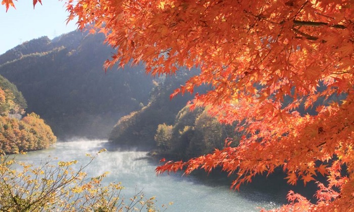
Recorded capture month: Nov · Historical photo, not a live view
AUTUMN · Oct
Weather for your date
Today shows live hourly weather. Future dates show the best available report.
13°C
Partly cloudy
💧 2% rain chance · wind 5 km/h
Hourly forecast
Forecast: Open-Meteo
Packing checklist
Parking
Parking has not been verified for this place.
Search nearby parking ↗Leave the start blank to choose your current location in Google Maps. The pin is an approximate landmark; check the entrance and live services in Maps.
A DIFFERENT JAPAN, EVERY MONTH
Typical viewing windows. Weather and bloom dates vary each year; these are not live forecasts.
The main colour window is late autumn, commonly strongest in early to mid-November. Check current colour and traffic controls.
Tourism source ↗Suitability
Stroller: Not recommended
Nursing room: Not available
Noise level: quiet
Kids: The lakeside road has no continuous pavement and traffic increases in autumn; keep children away from the carriageway and water edge.
Rules
Fire: designated sites only
Water access: lake
Drones: permit required
Place information: Official tourism source · Reviewed 2026-09-26