A living thatched-roof village through four seasons
Fresh green and rice fields fill the warm months; late January and early February may bring snow and lantern events.
Tourism source ↗A lived-in mountain village north of Kyoto City where 39 traditional thatched farmhouses cluster beneath forested slopes. Seasonal green fields, autumn colour and winter snow create very different views, while residents’ privacy must be respected.

Capture month unconfirmed · Historical photo, not a live view
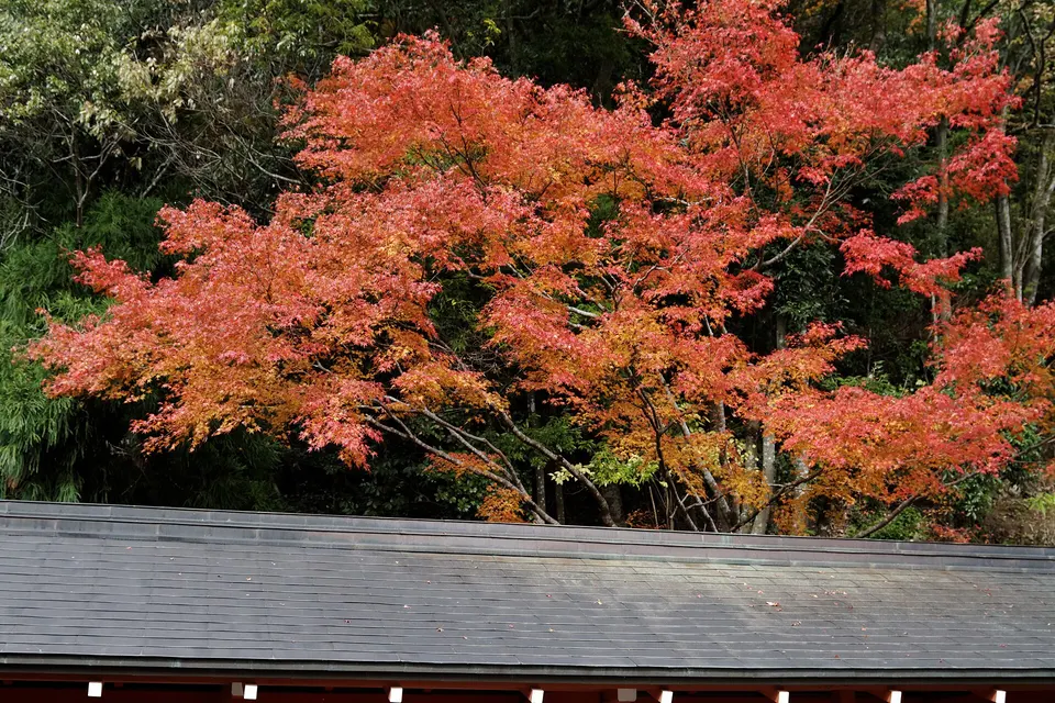
AUTUMN · Oct
Weather for your date
Today shows live hourly weather. Future dates show the best available report.
21°C
Mainly clear
💧 0% rain chance · wind 7 km/h
Hourly forecast
Forecast: Open-Meteo
Packing checklist
No tips added for this spot yet.
Parking
Kayabuki-no-Sato sightseeing parking
AVAILABLE
SUV / high-roof friendly
Use the signed visitor lot; buses and large vehicles may require advance arrangements.
Parking source ↗Leave the start blank to choose your current location in Google Maps. The pin is an approximate landmark; check the entrance and live services in Maps.
A DIFFERENT JAPAN, EVERY MONTH
Typical viewing windows. Weather and bloom dates vary each year; these are not live forecasts.
Fresh green and rice fields fill the warm months; late January and early February may bring snow and lantern events.
Tourism source ↗Suitability
Stroller: Not recommended
Nursing room: Not available
Noise level: quiet
Kids: This is a residential village; keep to public paths, protect fields and respect private homes.
Rules
Fire: no fire
Water access: none
Drones: permit required
Within 30 km, closest first.
 Fukui
FukuiA Shingon temple in Obama city whose main hall and three-storey pagoda are National Treasures, set in a quiet wooded valley.
 Kyoto
KyotoA forested water shrine in the Kibune valley, reached by road and train-bus connections, with lantern-lined stone steps.
 Kyoto
KyotoNovember · Kurama mountain autumn. Event dates, admission and lighting hours change by year; check the official source before travelling.
Place information: Official tourism source · Reviewed 2026-10-13