October · Lake Shojiko · North Shore
Autumn transition in the surrounding forest. Exact peak dates remain unverified.
Tourism source ↗The smallest of the Fuji Five Lakes, surrounded by forest. The north shore provides a lake-and-Mount-Fuji composition when visibility allows; boat activity and wind can change the reflection.
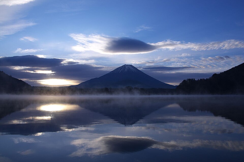
Recorded capture month: Nov · Historical photo, not a live view
AUTUMN · Oct
Weather for your date
Today shows live hourly weather. Future dates show the best available report.
13°C
Mainly clear
💧 0% rain chance · wind 7 km/h
Hourly forecast
Forecast: Open-Meteo
Packing checklist
No tips added for this spot yet.
Parking
Nearby public parking (OpenStreetMap)
NEARBY
· 6 min walk
Vehicle height not verified
Community-mapped nearby parking. Capacity, fees, hours and vehicle limits are not verified; check signs on arrival.
Parking source ↗Leave the start blank to choose your current location in Google Maps. The pin is an approximate landmark; check the entrance and live services in Maps.
A DIFFERENT JAPAN, EVERY MONTH
Typical viewing windows. Weather and bloom dates vary each year; these are not live forecasts.
Autumn transition in the surrounding forest. Exact peak dates remain unverified.
Tourism source ↗Suitability
Stroller: Not verified
Nursing room: Not verified
Noise level: moderate
Rules
Within 30 km, closest first.
A Mount Fuji region camping option at Shojiko Campground Area. Site types, vehicle access, operating dates, prices and equipment rental can change; confirm every stay directly with the operator before travelling.
A deep blue lake with an iconic Mount Fuji view from its northern side. This entry marks an approximate shore viewing area; the Nakanokura Pass viewpoint is a separate uphill walk. Reflections need calm water and clear visibility.
A Mount Fuji region camping option at Motosuko Ikoinomori Campground. Site types, vehicle access, operating dates, prices and equipment rental can change; confirm every stay directly with the operator before travelling.
Motosuko Campground in Yamanashi, with access, map location and seasonal planning data for international visitors.
A Mount Fuji region camping option at Koan Campground · Lake Motosu. Site types, vehicle access, operating dates, prices and equipment rental can change; confirm every stay directly with the operator before travelling.
Motosuko SUMIKA Campfield in Yamanashi, with access, map location and seasonal planning data for international visitors.
A ridge hike above Aokigahara with wide views of Mount Fuji, the forest and several Fuji Five Lakes.
A dense forest growing over the 864 lava flow, best explored only on signed nature trails and official cave routes.
Place information: Official tourism source · Reviewed 2026-09-24