The chief shrine of former Chikugo Province on Mount Kora in Kurume, with a wide view over the Chikugo Plain.
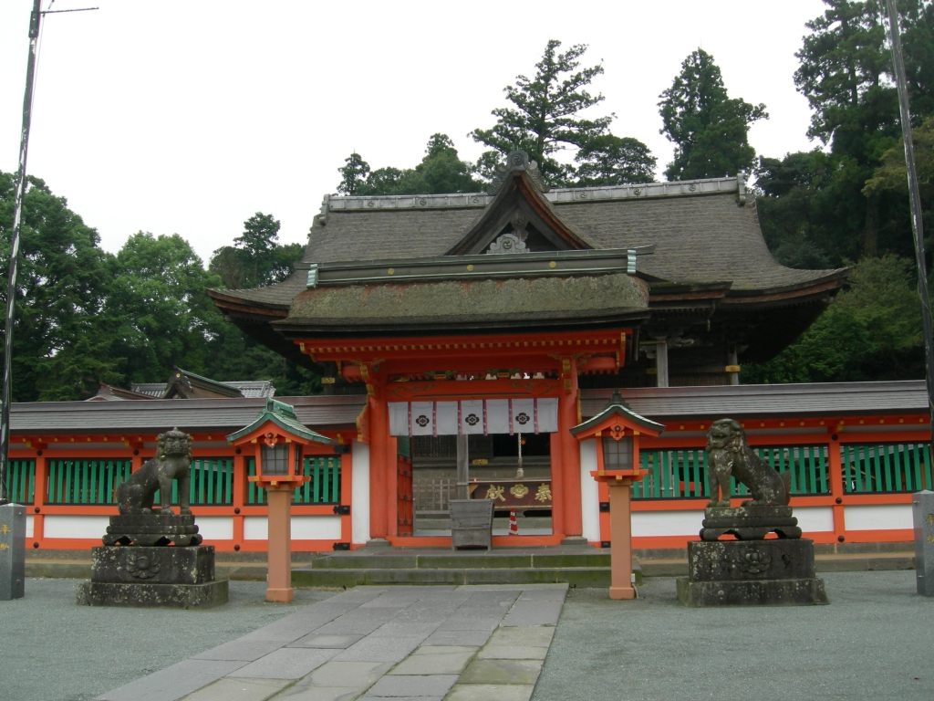
Capture month unconfirmed · Historical photo, not a live view
AUTUMN · Oct
Weather for your date
Today shows live hourly weather. Future dates show the best available report.
16°C
Mainly clear
💧 0% rain chance · wind 4 km/h
Hourly forecast
Forecast: Open-Meteo
Packing checklist
No tips added for this spot yet.
Parking
Parking has not been verified for this place.
Search nearby parking ↗Directions to Kora Taisha
Leave the start blank to choose your current location in Google Maps. The pin is an approximate landmark; check the entrance and live services in Maps.
A DIFFERENT JAPAN, EVERY MONTH
When to see this place
Typical viewing windows. Weather and bloom dates vary each year; these are not live forecasts.
No month-specific guide yet for Oct. This does not mean the place is closed.
Suitability
Stroller: Not verified
Nursing room: Not available
Noise level: quiet
Rules
Drones: banned
Nearby places
Within 30 km, closest first.
 Fukuoka
Kurume Castle Ruins
Castle ruins in Kurume with stone walls and moats; the site now holds Arima Memorial Museum and Sasayama Shrine.
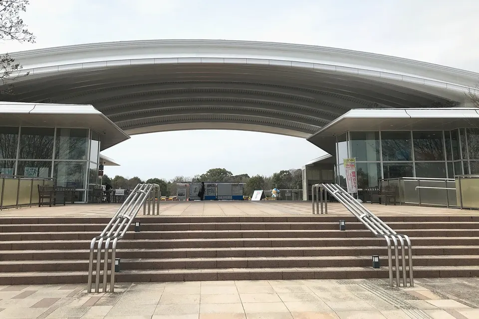 Saga
SagaYoshinogari Historical Park
Yoshinogari Historical Park is a notable visitor destination in Saga Prefecture. Check the official local source for current access, hours, closures and seasonal conditions.
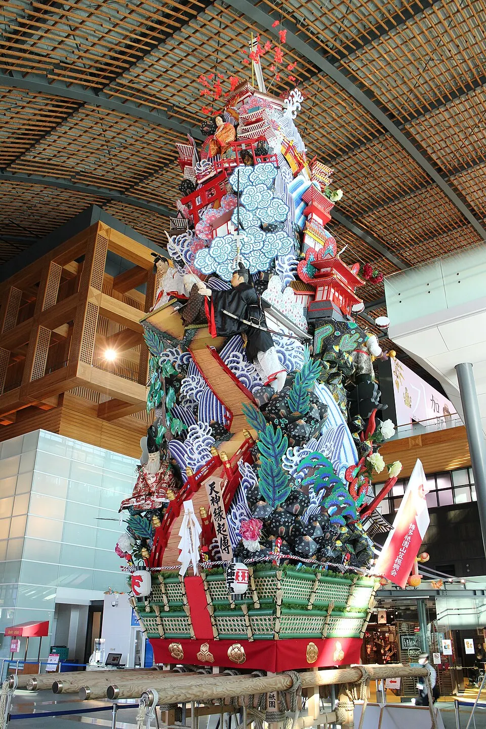 Fukuoka
Kyushu National Museum
An indoor museum in Dazaifu exploring cultural exchange and history. Check the exhibition calendar, admission conditions and closed days before travelling.
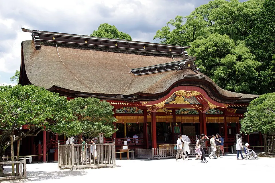 Fukuoka
Dazaifu Tenmangu
A major Tenmangu shrine in Dazaifu, associated with learning and Sugawara Michizane. Combine the precinct with the nearby approach street.
Sources, photo credits and verification
Place information: Official tourism source · Reviewed 2026-10-06
- 1. Front shrine, Koura-taisha · ja:利用者:みんと · Source ↗ · Public domain