SEASONAL☀️ Daytime
November · Kitaguchi Hongu Fuji Sengen Shrine
Use Kitaguchi Hongu Fuji Sengen Shrine's official page for this month's opening, access and weather notices. Mount Fuji visibility and outdoor conditions are never guaranteed.
A historic northern gateway for Mount Fuji pilgrims, approached through a long cedar-lined path. Observe shrine etiquette and confirm ceremony or restricted-area notices before visiting.
Before travel or when you arrive, check live space availability and confirmed rates via Google Maps.
Send this place via WhatsApp, X, Facebook, Line, or copy direct link.
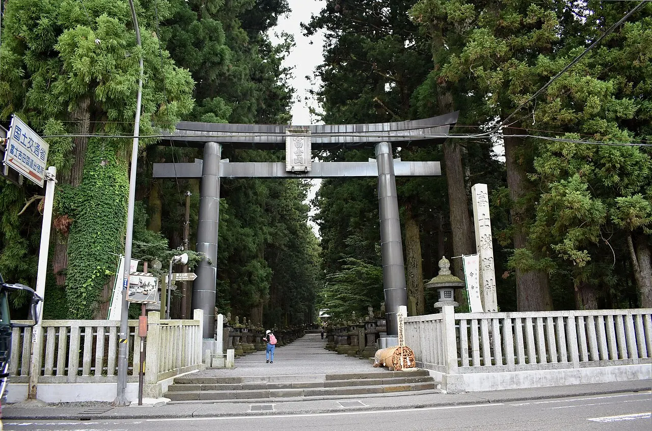
Aug · 📷 江戸村のとくぞう · CC BY-SA 4.0 · Source
Weather for your date
Today shows live hourly weather. Future dates show the best available report.
5°C
Clear sky
💧 0% rain chance · wind 12 km/h
Hourly forecast
Forecast: Open-Meteo
Packing checklist
🚉Mt Fuji Station
Approx. 1.4 km from spot
🚶~18 min walk
Easy walking distance from station
💳Mobile Suica / IC Cards
Tap phone at ticket gates (No cash needed)
Leave the start blank to choose your current location in Google Maps. The pin is an approximate landmark; check the entrance and live services in Maps.
Typical viewing windows. Weather and bloom dates vary each year; these are not live forecasts.
Use Kitaguchi Hongu Fuji Sengen Shrine's official page for this month's opening, access and weather notices. Mount Fuji visibility and outdoor conditions are never guaranteed.
Suitability
Stroller: Not verified
Nursing room: Not verified
Noise level: moderate
Kids: Check terrain, age and access rules with the operator.
Rules
Drones: permit required
Within 30 km, closest first.
 Yamanashi
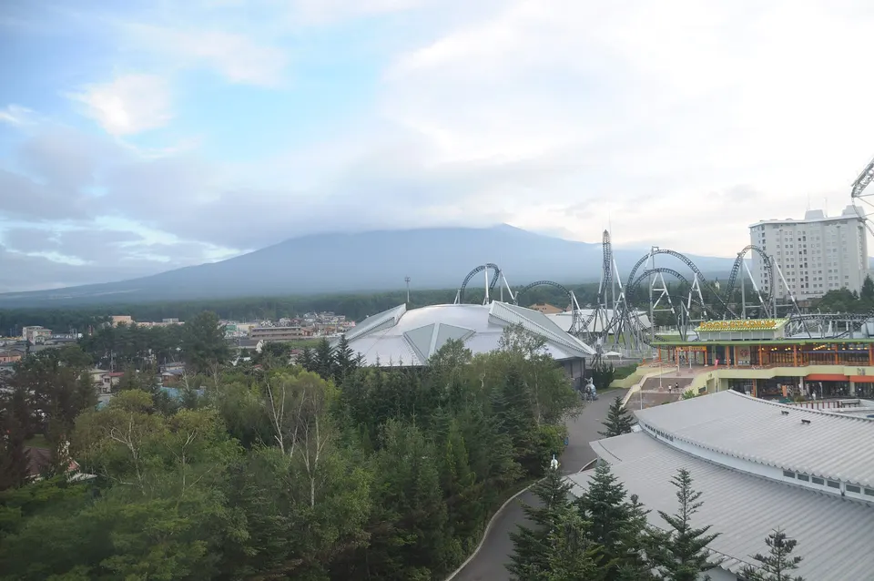
A major amusement park beneath Mount Fuji, known for large roller coasters, family attractions and seasonal events.
 Yamanashi
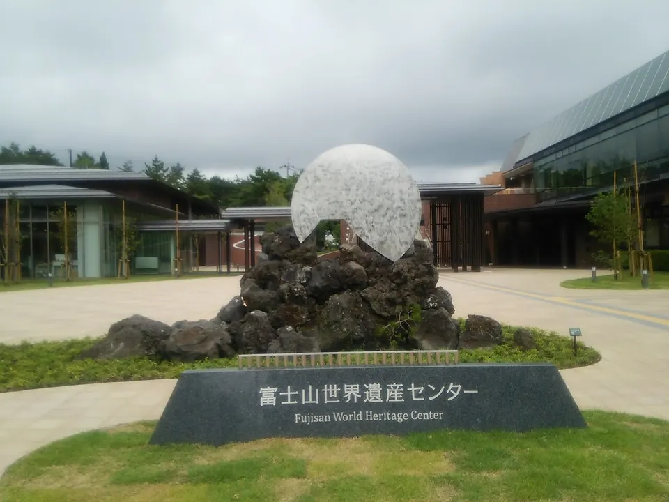
An indoor interpretation center explaining Mount Fuji’s cultural heritage, faith and artistic significance. Check the official exhibition calendar, opening hours and language support before travel.
 Yamanashi
A Mount Fuji region camping option at PICA Fujiyoshida. Site types, vehicle access, operating dates, prices and equipment rental can change; confirm every stay directly with the operator before travelling.
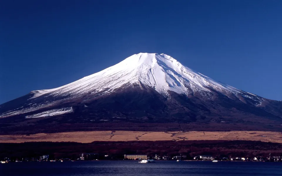 Yamanashi
A day-use onsen near Lake Yamanaka with large windows and open-air baths facing Mount Fuji.
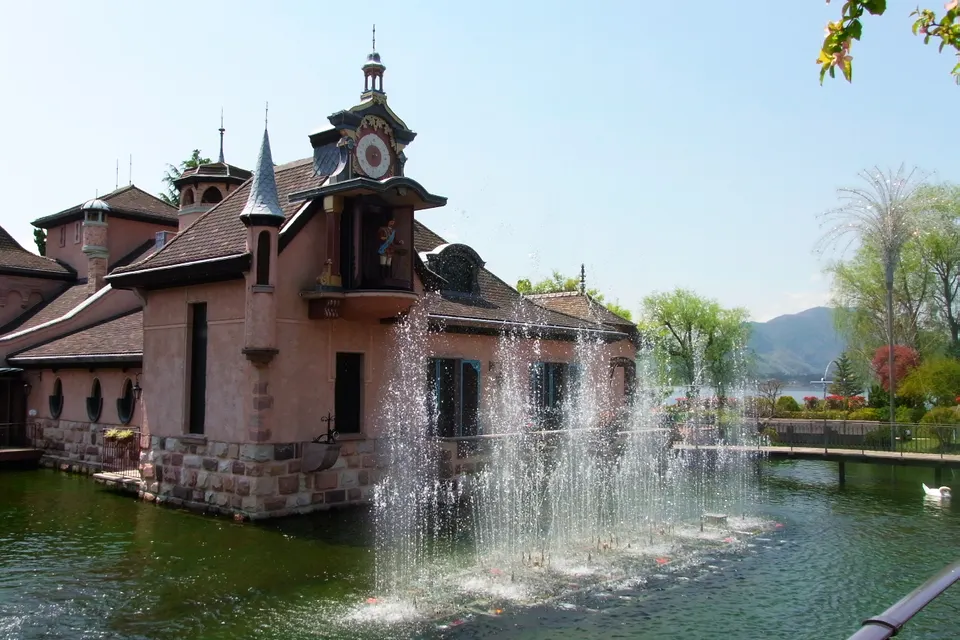 Yamanashi
A European-style garden and museum of automatic musical instruments on the shore of Lake Kawaguchiko.
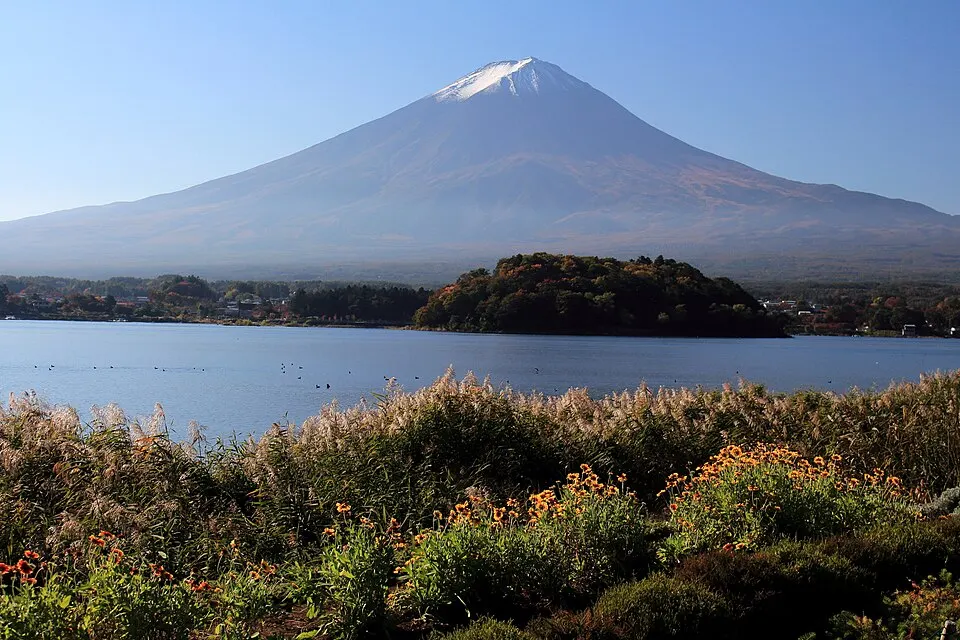 Yamanashi
The northern shore of Lake Kawaguchiko offers several public viewpoints toward Mount Fuji, with different flowers and foliage through the year. This pin is an area reference; use signed public paths and designated parking.
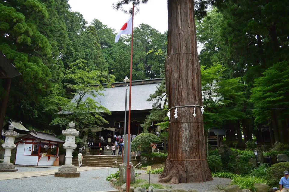 Yamanashi
A World Heritage shrine connected to Mount Fuji worship, approached through a grove of monumental ancient cedar trees.
 Yamanashi
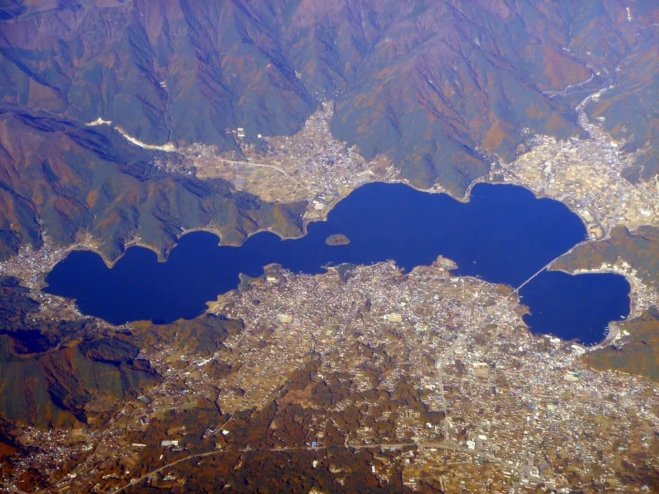
On the shore of Lake Kawaguchi, Oishi Park offers flower-lined views toward Mount Fuji. The lakeside setting is a useful stop for landscape photography.
Place information: Official tourism source · Reviewed 2026-09-24