Lake Chuzenji drops 97 metres at Kegon Falls, one of Nikko’s signature landscapes. A free upper viewpoint looks down from the rim, while a paid elevator descends to a lower observatory facing the fall.
- Best time
- Oct – Kegon autumn · Jan–Feb – Ice-framed waterfall · May–Aug – Green falls and strong flow
- Parking
- 📍 Navigate in Google Maps ↗県営華厳の滝第1駐車場2 min walkℹ Paid · Fee not confirmed (check signs on arrival)📍 Navigate in Google Maps ↗Nearby parking4 min walkℹ Paid · Fee not confirmed (check signs on arrival)🚗 All Nearby Parking & Real-Time Availability🔍 Find Nearby Parking on Map ↗
Before travel or when you arrive, check live space availability and confirmed rates via Google Maps.
- Getting there
- Plan the route from your start ↓ · Open in Google Maps ↗
- Official info
- japan.travel ↗
Send this place via WhatsApp, X, Facebook, Line, or copy direct link.
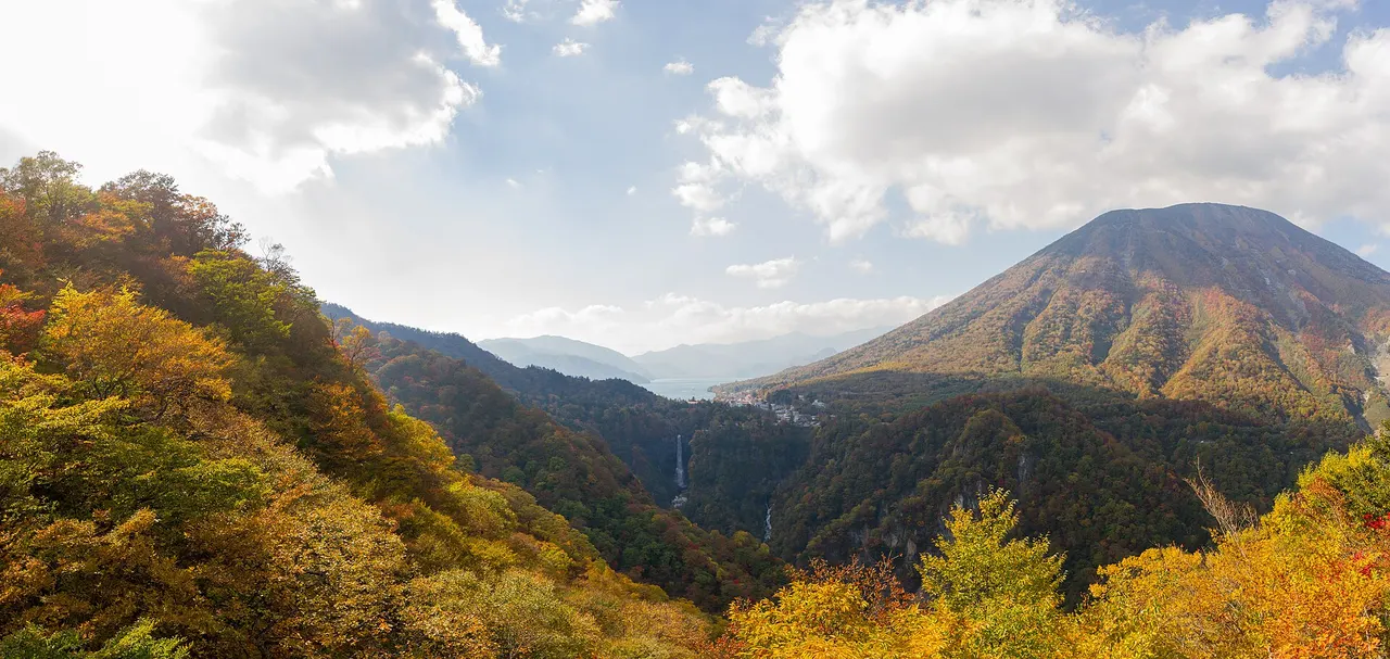
Oct · 📷 Christophe Robin · CC BY-SA 2.0 · Source
Weather for your date
Today shows live hourly weather. Future dates show the best available report.
0°C
Clear sky
💧 2% rain chance · wind 9 km/h
Hourly forecast
Forecast: Open-Meteo
Packing checklist
- Also useful: Warm windproof layers for the high-elevation viewpoint
Getting to Kegon Falls
🚉Mato Station
Approx. 10.5 km from spot
🚌Local Bus or Taxi
Bus ~15-25 min (¥210-¥350) / Taxi ~¥1,500-¥3,000
💳Mobile Suica / IC Cards
IC cards accepted on most local buses
Directions to Kegon Falls
Leave the start blank to choose your current location in Google Maps. The pin is an approximate landmark; check the entrance and live services in Maps.
When to see this place
Typical viewing windows. Weather and bloom dates vary each year; these are not live forecasts.
No month-specific guide yet for Nov. This does not mean the place is closed.
Suitability
Stroller: Not verified
Nursing room: Not verified
Noise level: moderate
Kids: Keep children behind barriers and check elevator accessibility and ice conditions in winter.
Rules
Fire: no fire
Water access: waterfall
Drones: banned
Nearby places
Within 30 km, closest first.
 Tochigi
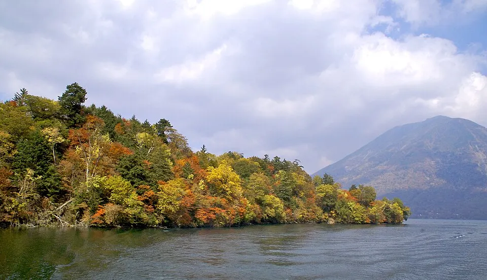
Lake Chuzenji — Chuzenji Onsen Shore
An elevated lake in Oku-Nikko framed by forested slopes and Mount Nantai. The eastern shore offers a manageable starting point for autumn scenery. Typical autumn window: Mid to late October. Lake temperatures can be lower than central Nikko. Allow for Irohazaka traffic and check boat and bus schedules.
 Tochigi
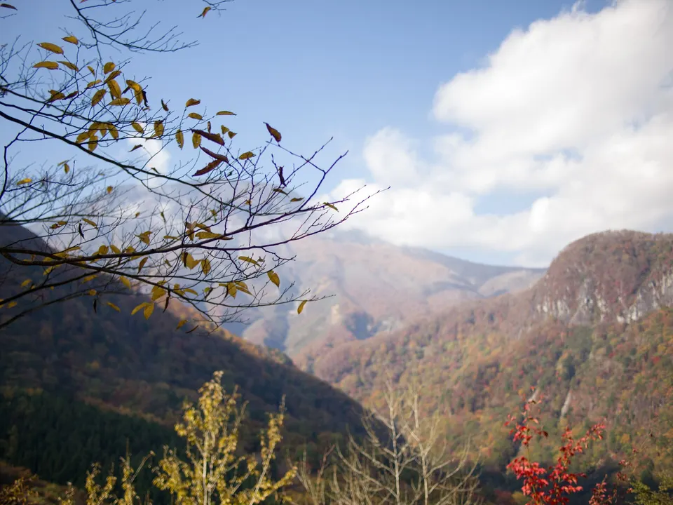
Irohazaka Winding Roads
Two one-way mountain roads with 48 hairpin curves connect central Nikko with Lake Chuzenji and Oku-Nikko. Akechidaira provides a high viewpoint toward Kegon Falls and the lake, while the road itself becomes one of Nikko’s best-known autumn drives.
 Tochigi
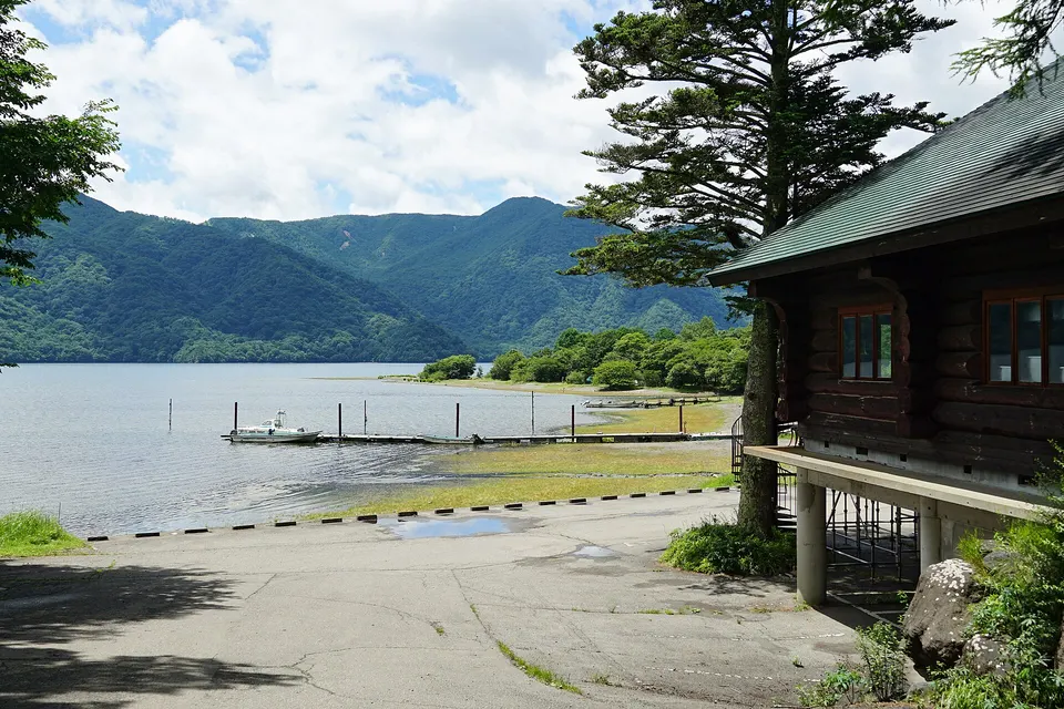
Shobugahama Campsite
A lakeside campsite on the northern shore of Lake Chuzenji, convenient for Oku-Nikko walks and waterfalls.
 Tochigi
Ryuzu Falls
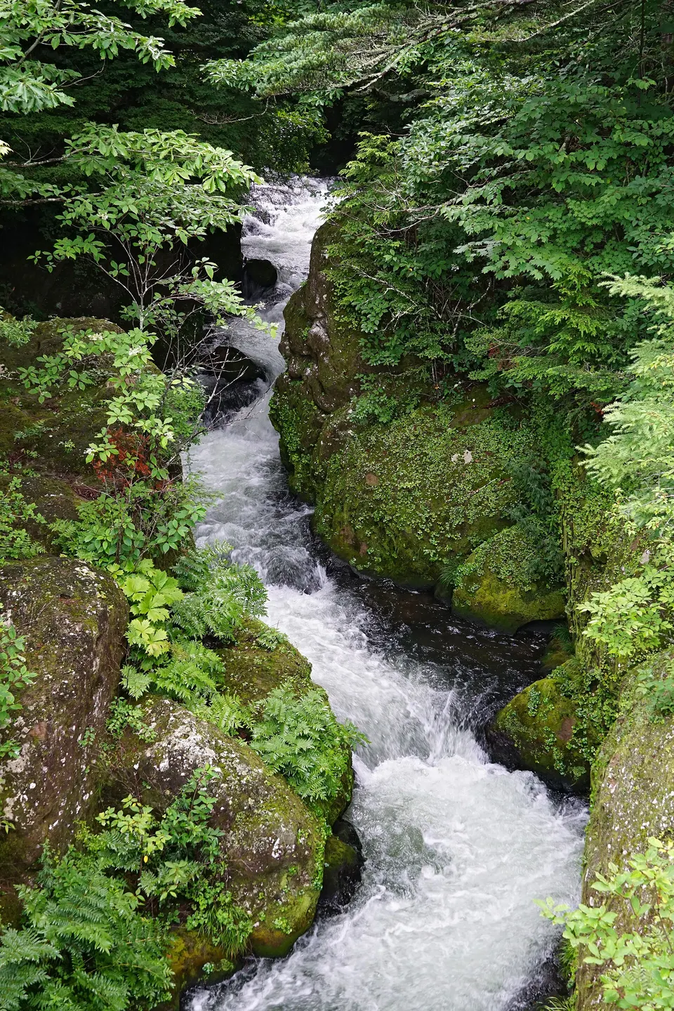
A cascading waterfall below Lake Chuzenji whose divided lower stream resembles a dragon’s head. It is among Oku-Nikko’s earliest autumn-colour locations.
 Tochigi
Senjogahara Marshland
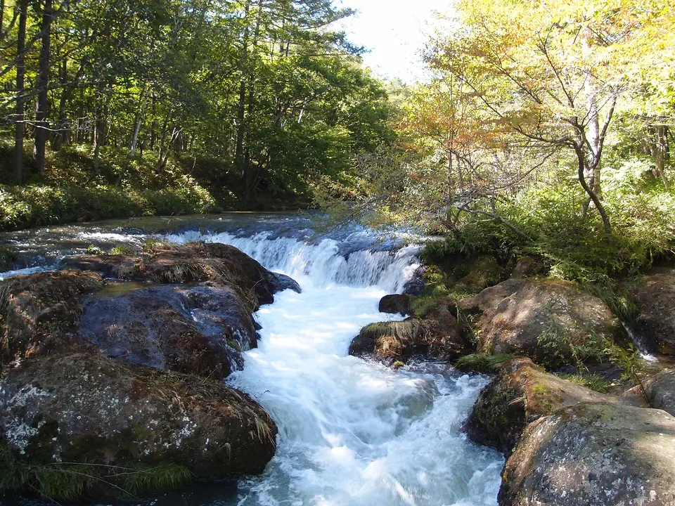
A high moor in Oku-Nikko crossed by boardwalk trails, with broad views toward Mount Nantai and seasonal wetland plants.
 Tochigi
Kanmangafuchi Abyss
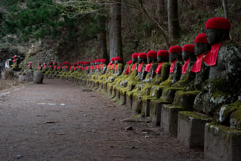
A quiet riverside gorge with a long row of stone Jizo statues, mossy forest and the fast-flowing Daiya River.
 Tochigi
Nikko Tamozawa Imperial Villa
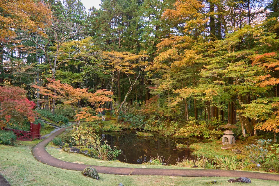
A large wooden imperial residence combining Edo, Meiji and Taisho architecture, surrounded by a landscaped garden.
 Tochigi
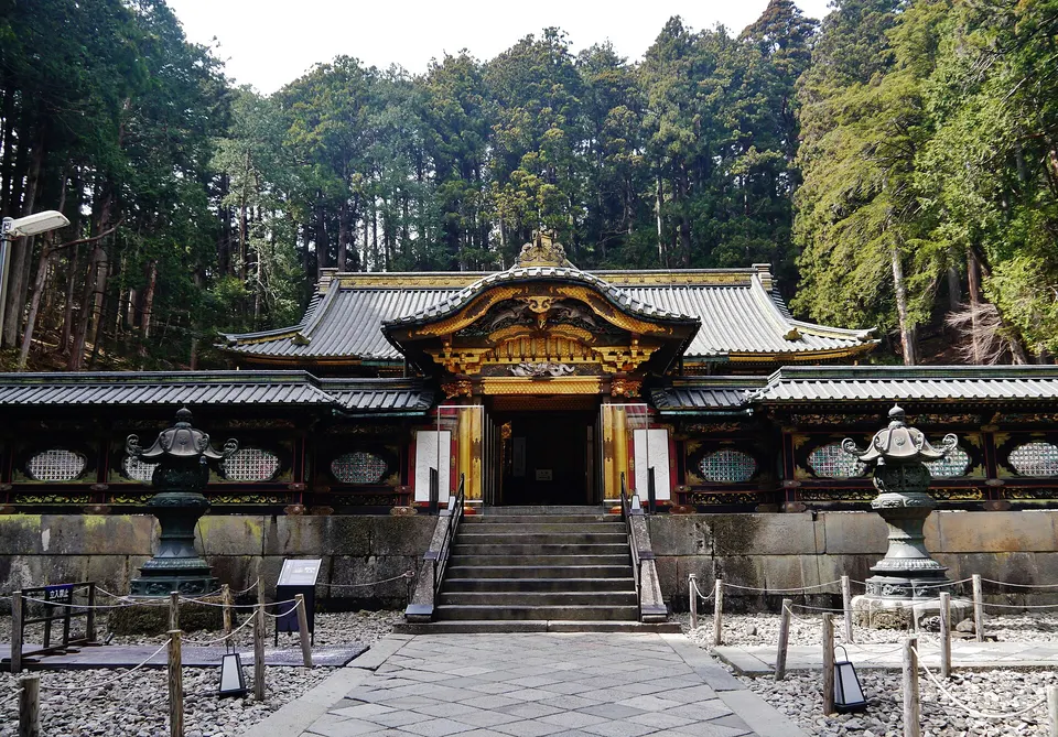
Taiyuin Mausoleum
The ornate mausoleum of Tokugawa Iemitsu, the third Tokugawa shogun, built in a cedar forest with decorated gates and halls.
Sources, photo credits and verification
Place information: Official tourism source · Reviewed 2026-09-26
- 1. Kegon Falls below Lake Chuzenji · Christophe Robin · Source ↗ · CC BY-SA 2.0
- 2. Kegon Falls - Nikko National Park, Tochigi, Japan. This image was stitched together from 3 photos taken in midwinter. · Daderot · Source ↗ · Public domain
- 3. 大雨による大増水で滝壺は水煙を上げている。 · User:Nazki rhetorica · Source ↗ · CC BY 3.0