Kasugayama Campground in Nara, with access, map location and seasonal planning data for international visitors.
- Best time
- All year
- Parking
- 📍 Navigate in Google Maps ↗鶯の滝駐車場7 min walkℹ Paid · Fee not confirmed (check signs on arrival)🚗 All Nearby Parking & Real-Time Availability🔍 Find Nearby Parking on Map ↗
Before travel or when you arrive, check live space availability and confirmed rates via Google Maps.
- Getting there
- Plan the route from your start ↓ · Open in Google Maps ↗
- Official info
- visitnara.jp ↗
Send this place via WhatsApp, X, Facebook, Line, or copy direct link.
We have not found a free-to-use photo of this place yet.
See photos of this place on Google Maps ↗Weather for your date
Today shows live hourly weather. Future dates show the best available report.
7°C
Clear sky
💧 0% rain chance · wind 13 km/h
Hourly forecast
Forecast: Open-Meteo
Getting to Kasugayama Campground
🚉Kintetsu Nara Station
Approx. 3.8 km from spot
🚌Local Bus or Taxi
Bus ~15-25 min (¥210-¥350) / Taxi ~¥1,500-¥3,000
💳Mobile Suica / IC Cards
IC cards accepted on most local buses
Directions to Kasugayama Campground
Leave the start blank to choose your current location in Google Maps. The pin is an approximate landmark; check the entrance and live services in Maps.
When to see this place
Typical viewing windows. Weather and bloom dates vary each year; these are not live forecasts.
No month-specific guide yet for Nov. This does not mean the place is closed.
STAY A LITTLE LONGER
Camping here
- Reservation
- Required
- Season & access
- Opening dates and reservation windows vary; confirm directly before travel.
- Fire & BBQ
- Use only permitted equipment and designated areas; obey current fire bans.
- Facilities
- See the official facility listing for current sites, toilets, water, showers, parking and rental availability.
Suitability
Stroller: Not recommended
Nursing room: Not available
Noise level: moderate
Kids: Follow booking, fire, water and quiet-hour rules.
Rules
Fire: stove only
Drones: banned
Nearby places
Within 30 km, closest first.
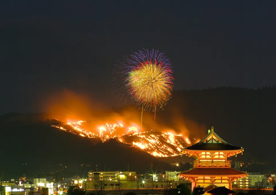 Nara
Mount Wakakusa
Mount Wakakusa in Nara, with access, map location and seasonal planning data for international visitors.
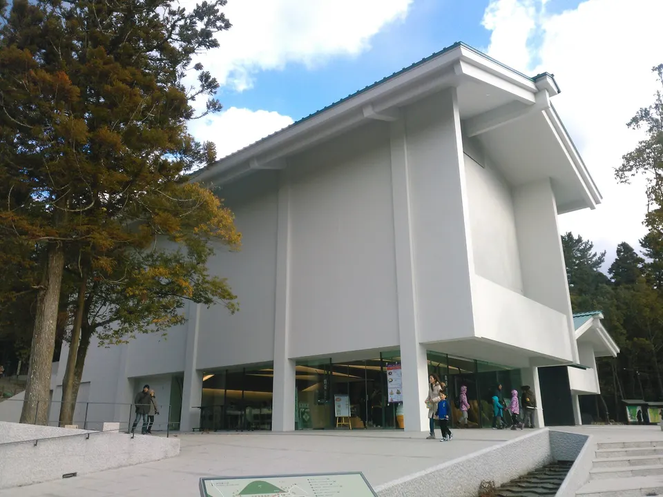 Nara
Kasuga Taisha Shrine
Kasuga Taisha Shrine in Nara, with access, map location and seasonal planning data for international visitors.
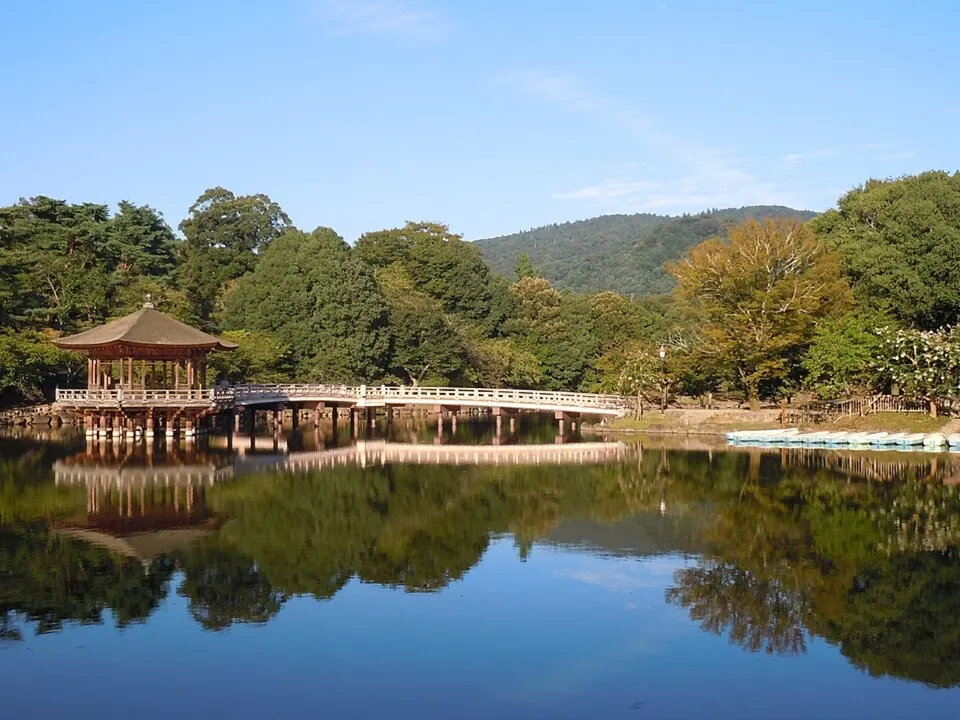 Nara
Nara Park
Deer roam among the green spaces and historic landmarks around Nara Park. The area connects major temples and shrines with broad walking routes.
 Nara
Todai-ji Temple
Todai-ji Temple in Nara, with access, map location and seasonal planning data for international visitors.
 Nara
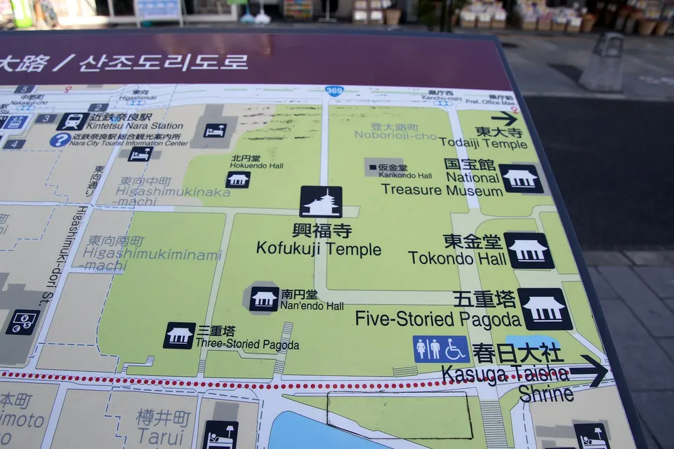
Kofuku-ji Temple
Kofuku-ji Temple in Nara, with access, map location and seasonal planning data for international visitors.
 Kyoto
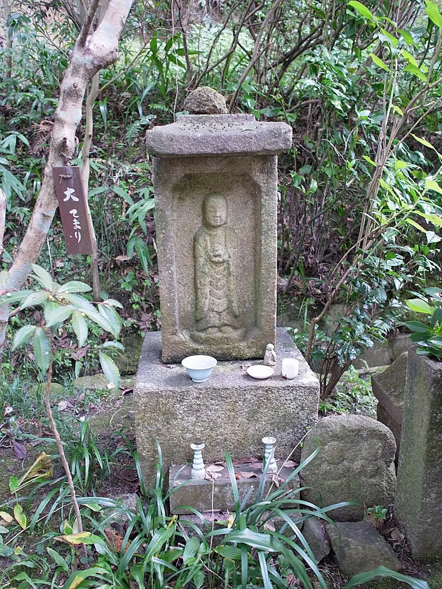
Iwafuneji (Gansenji) Temple
A quiet temple in southern Kyoto’s Kizugawa countryside, officially romanized Gansenji. Its three-storey pagoda, hydrangeas, stone images and wooded setting make it a seasonal alternative to central Kyoto’s busiest temples.
 Nara
Yakushi-ji Temple
Founded in 680 AD by Emperor Tenmu to pray for the recovery of his sick empress, Yakushi-ji is a UNESCO World Heritage temple celebrated for its soaring twin pagodas. Its original 8th-century East Pagoda is praised as 'frozen music' for its rhythmic alternating eaves, housing the National Treasure Yakushi Nyorai healing triad.
 Kyoto
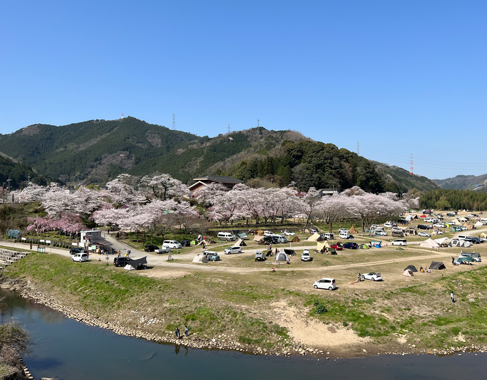
Kasagi Campsite
Kasagi Campsite in Kyoto, prepared with map position, photo, accessibility notes and a month-based planning window.
Sources, photo credits and verification
Place information: Official tourism source · Reviewed 2026-09-28