The historic chief shrine (ichinomiya) of former Osumi Province, in the Hayato area of Kirishima city.
- Best time
- Not added yet
- Parking
- 📍 Navigate in Google Maps ↗Nearby parking1 min walkℹ Paid · Fee not confirmed (check signs on arrival)📍 Navigate in Google Maps ↗Nearby parking2 min walkℹ Paid · Fee not confirmed (check signs on arrival)🚗 All Nearby Parking & Real-Time Availability🔍 Find Nearby Parking on Map ↗
Before travel or when you arrive, check live space availability and confirmed rates via Google Maps.
- Getting there
- Plan the route from your start ↓ · Open in Google Maps ↗
- Official info
- kagoshima-jingu.jp ↗
Send this place via WhatsApp, X, Facebook, Line, or copy direct link.

📷 ChiefHira · CC BY-SA 3.0 · Source
Weather for your date
Today shows live hourly weather. Future dates show the best available report.
10°C
Mainly clear
💧 0% rain chance · wind 2 km/h
Hourly forecast
Forecast: Open-Meteo
Getting to Kagoshima Jingu Shrine
🚉Hayato Station
Approx. 1.1 km from spot
🚶~14 min walk
Easy walking distance from station
💳Mobile Suica / IC Cards
Tap phone at ticket gates (No cash needed)
Directions to Kagoshima Jingu Shrine
Leave the start blank to choose your current location in Google Maps. The pin is an approximate landmark; check the entrance and live services in Maps.
When to see this place
Typical viewing windows. Weather and bloom dates vary each year; these are not live forecasts.
No month-specific guide yet for Nov. This does not mean the place is closed.
Suitability
Stroller: Not verified
Nursing room: Not available
Noise level: quiet
Rules
Drones: banned
Nearby places
Within 30 km, closest first.
 Kagoshima
Kirishima Jingu Shrine
A vermilion Shinto shrine in the forested foothills of the Kirishima Mountains, linked to the myth of the gods' descent to earth at Takachiho-gawara.
 Kagoshima
Sakurajima Yunohira Observatory
Perched at the 4th station of Mount Kita-dake at an altitude of 373 meters, this is the highest point on Sakurajima accessible to general visitors. The observatory offers awe-inspiring close-up views of the rugged volcanic craters and smoking peak, while sweeping around to panoramic views of Kagoshima City across Kinko Bay.
 Kagoshima
Sengan-en Garden
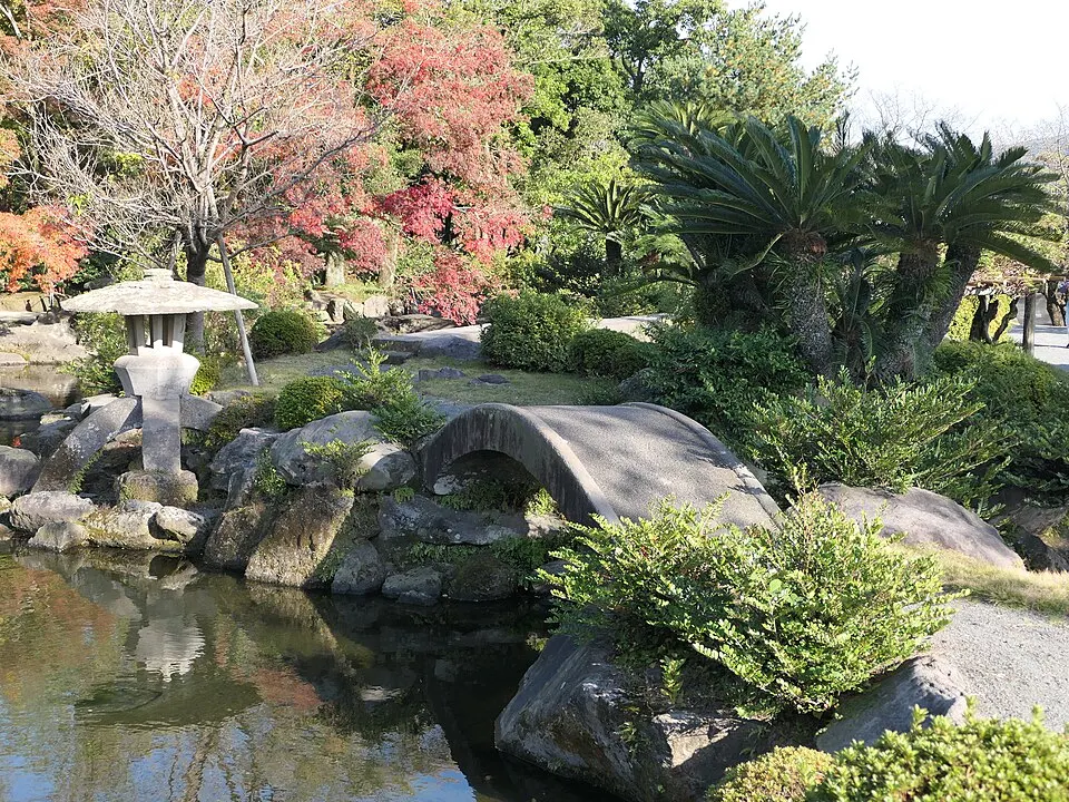
A Shimazu garden and historic residence using Kinko Bay and Sakurajima as its scenic backdrop. Volcano visibility varies. Check local ash and weather information and the garden’s current visitor guidance.
 Kagoshima
Kirishima Mountains
A group of active volcanoes around 1,700 metres high on the Kagoshima–Miyazaki border, with crater lakes and hiking trails.
 Miyazaki
Mount Karakuni (Karakunidake)
At 1,700 metres the highest peak of the Kirishima volcanoes, with a short hike from Ebino Kogen to crater views.
 Kagoshima
 Castle (Tsurumaru Castle)
The Edo-period seat of the Shimazu clan in central Kagoshima; its stone walls, moat and rebuilt Goromon gate remain, and the ruins are a National Historic Site.
Sources, photo credits and verification
Place information: Official tourism source · Reviewed 2026-10-06